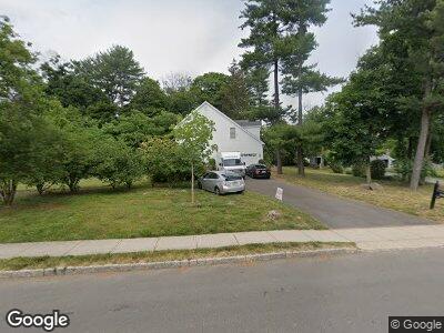
252 Snowden Ln Princeton, NJ 08540
Princeton North NeighborhoodEstimated Value: $1,823,000 - $2,249,000
--
Bed
--
Bath
3,620
Sq Ft
$555/Sq Ft
Est. Value
About This Home
This home is located at 252 Snowden Ln, Princeton, NJ 08540 and is currently estimated at $2,007,533, approximately $554 per square foot. 252 Snowden Ln is a home located in Mercer County with nearby schools including Littlebrook Elementary School, Princeton Middle School, and Princeton High School.
Ownership History
Date
Name
Owned For
Owner Type
Purchase Details
Closed on
Jun 29, 2004
Sold by
Rct Developers Inc
Bought by
Cacciola Ronald and Collier Elizabeth
Current Estimated Value
Home Financials for this Owner
Home Financials are based on the most recent Mortgage that was taken out on this home.
Original Mortgage
$900,000
Outstanding Balance
$483,052
Interest Rate
6.3%
Create a Home Valuation Report for This Property
The Home Valuation Report is an in-depth analysis detailing your home's value as well as a comparison with similar homes in the area
Home Values in the Area
Average Home Value in this Area
Purchase History
| Date | Buyer | Sale Price | Title Company |
|---|---|---|---|
| Cacciola Ronald | $1,200,000 | -- |
Source: Public Records
Mortgage History
| Date | Status | Borrower | Loan Amount |
|---|---|---|---|
| Open | Cacciola Ronald | $900,000 |
Source: Public Records
Tax History Compared to Growth
Tax History
| Year | Tax Paid | Tax Assessment Tax Assessment Total Assessment is a certain percentage of the fair market value that is determined by local assessors to be the total taxable value of land and additions on the property. | Land | Improvement |
|---|---|---|---|---|
| 2024 | $29,172 | $1,160,400 | $480,000 | $680,400 |
| 2023 | $29,172 | $1,160,400 | $480,000 | $680,400 |
| 2022 | $28,221 | $1,160,400 | $480,000 | $680,400 |
| 2021 | $28,302 | $1,160,400 | $480,000 | $680,400 |
| 2020 | $28,082 | $1,160,400 | $480,000 | $680,400 |
| 2019 | $27,525 | $1,160,400 | $480,000 | $680,400 |
| 2018 | $27,061 | $1,160,400 | $480,000 | $680,400 |
| 2017 | $26,689 | $1,160,400 | $480,000 | $680,400 |
| 2016 | $26,271 | $1,160,400 | $480,000 | $680,400 |
| 2015 | $25,668 | $1,160,400 | $480,000 | $680,400 |
| 2014 | $25,355 | $1,160,400 | $480,000 | $680,400 |
Source: Public Records
Map
Nearby Homes
- 77 Leabrook Ln
- 106 Leabrook Ln
- 67 Randall Rd
- 107 Snowden Ln
- 69 Erdman Ave
- 131 Randall Rd
- 109 Rollingmead St
- 339 Hamilton Ave
- 14 Wheatsheaf Ln
- 3 Governors Ln
- 5 Governors Ln
- 59 Scott Ln
- 300 Ewing St
- 528 Prospect Ave
- 1 Markham Rd Unit 2E
- 46 Wilton St
- 798 Kingston Rd
- 42 Markham Rd
- 185 Terhune Rd
- 312 Prospect Ave
- 252 Snowden Ln
- 222 Snowden Ln
- 264 Snowden Ln
- 240 Snowden Ln
- 22 Greenshadows Ln
- 47 Leabrook Ln
- 249 Snowden Ln
- 10 Braeburn Dr
- 241 Snowden Ln
- 41 Leabrook Ln
- 230 Snowden Ln
- 261 Snowden Ln
- 51 Leabrook Ln
- 231 Snowden Ln
- 20 Braeburn Dr
- 26 Braeburn Dr
- 269 Snowden Ln
- 260 Snowden Ln
- 282 Snowden Ln
- 59 Leabrook Ln