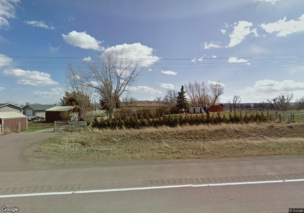
252 Us Highway 89 Vaughn, MT 59487
Estimated Value: $309,986 - $355,000
3
Beds
1
Bath
1,468
Sq Ft
$227/Sq Ft
Est. Value
About This Home
This home is located at 252 Us Highway 89, Vaughn, MT 59487 and is currently estimated at $333,662, approximately $227 per square foot. 252 Us Highway 89 is a home located in Cascade County with nearby schools including Vaughn Elementary School, Vaughn Junior High School, and Simms High School.
Ownership History
Date
Name
Owned For
Owner Type
Purchase Details
Closed on
Mar 15, 2010
Sold by
Calsetta Richard A and Calsetta Cheri L
Bought by
Skelton Cindy
Current Estimated Value
Home Financials for this Owner
Home Financials are based on the most recent Mortgage that was taken out on this home.
Original Mortgage
$37,000
Interest Rate
4.93%
Mortgage Type
New Conventional
Purchase Details
Closed on
Aug 8, 2005
Sold by
Zobel David H
Bought by
Calsetta Richard A and Calsetta Cheri L
Home Financials for this Owner
Home Financials are based on the most recent Mortgage that was taken out on this home.
Original Mortgage
$127,059
Interest Rate
5.56%
Mortgage Type
VA
Create a Home Valuation Report for This Property
The Home Valuation Report is an in-depth analysis detailing your home's value as well as a comparison with similar homes in the area
Home Values in the Area
Average Home Value in this Area
Purchase History
| Date | Buyer | Sale Price | Title Company |
|---|---|---|---|
| Skelton Cindy | -- | None Available | |
| Calsetta Richard A | -- | Chicago Title Insurance Comp |
Source: Public Records
Mortgage History
| Date | Status | Borrower | Loan Amount |
|---|---|---|---|
| Closed | Skelton Cindy | $37,000 | |
| Previous Owner | Calsetta Richard A | $127,059 |
Source: Public Records
Tax History Compared to Growth
Tax History
| Year | Tax Paid | Tax Assessment Tax Assessment Total Assessment is a certain percentage of the fair market value that is determined by local assessors to be the total taxable value of land and additions on the property. | Land | Improvement |
|---|---|---|---|---|
| 2025 | $864 | $258,800 | $0 | $0 |
| 2024 | $1,141 | $227,900 | $0 | $0 |
| 2023 | $1,181 | $227,900 | $0 | $0 |
| 2022 | $531 | $197,000 | $0 | $0 |
| 2021 | $1,627 | $197,000 | $0 | $0 |
| 2020 | $1,617 | $170,500 | $0 | $0 |
| 2019 | $1,598 | $170,500 | $0 | $0 |
| 2018 | $1,734 | $179,600 | $0 | $0 |
| 2017 | $1,553 | $179,600 | $0 | $0 |
| 2016 | $1,740 | $176,900 | $0 | $0 |
| 2015 | $1,606 | $176,900 | $0 | $0 |
| 2014 | $1,746 | $92,432 | $0 | $0 |
Source: Public Records
Map
Nearby Homes
- 252 U S 89
- 226 U S 89
- 12 Old Stagecoach Ln
- 26 Medicine River Rd
- 255 U S 89 Unit 89
- 255 U S 89
- 251 Us Highway 89
- 255 Us Hwy
- 22 Medicine River Rd
- 255 Us Highway 89
- 10 Old Stagecoach Ln
- 267 U S 89
- 267 Us Highway 89
- 22 Medicine Rd
- 8 Old Stagecoach Ln
- 266 Us Highway 89
- 257 U S 89
- LOT 3&4 Old Stagecoach Ln
- 259 Us Highway 89
- 259 Us Highway 89