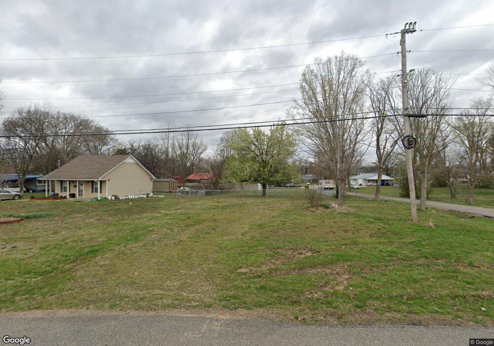
252 W 3rd St Parsons, TN 38363
Estimated Value: $55,000 - $123,000
--
Bed
1
Bath
--
Sq Ft
0.25
Acres
About This Home
This home is located at 252 W 3rd St, Parsons, TN 38363 and is currently estimated at $96,333. 252 W 3rd St is a home located in Decatur County with nearby schools including Parsons Elementary School, Decaturville Elementary School, and Decatur County Middle School.
Ownership History
Date
Name
Owned For
Owner Type
Purchase Details
Closed on
Dec 19, 2018
Sold by
Campbell Martha and Campbell Aaron Cheryl
Bought by
Trogdon Joshua
Current Estimated Value
Home Financials for this Owner
Home Financials are based on the most recent Mortgage that was taken out on this home.
Original Mortgage
$82,616
Outstanding Balance
$72,932
Interest Rate
4.9%
Mortgage Type
New Conventional
Estimated Equity
$23,401
Purchase Details
Closed on
Sep 11, 2009
Sold by
Tuten Lois
Bought by
Tuten Lois
Purchase Details
Closed on
Oct 27, 1980
Bought by
Tuten Ernest Porter and Tuten Lois
Create a Home Valuation Report for This Property
The Home Valuation Report is an in-depth analysis detailing your home's value as well as a comparison with similar homes in the area
Home Values in the Area
Average Home Value in this Area
Purchase History
| Date | Buyer | Sale Price | Title Company |
|---|---|---|---|
| Trogdon Joshua | $81,000 | None Available | |
| Tuten Lois | -- | -- | |
| Tuten Ernest Porter | -- | -- |
Source: Public Records
Mortgage History
| Date | Status | Borrower | Loan Amount |
|---|---|---|---|
| Open | Trogdon Joshua | $82,616 |
Source: Public Records
Tax History Compared to Growth
Tax History
| Year | Tax Paid | Tax Assessment Tax Assessment Total Assessment is a certain percentage of the fair market value that is determined by local assessors to be the total taxable value of land and additions on the property. | Land | Improvement |
|---|---|---|---|---|
| 2024 | -- | $575 | $575 | $0 |
| 2023 | $19 | $575 | $575 | $0 |
| 2022 | $20 | $575 | $575 | $0 |
| 2021 | $20 | $575 | $575 | $0 |
| 2020 | $20 | $575 | $575 | $0 |
| 2019 | $28 | $900 | $900 | $0 |
| 2018 | $26 | $900 | $900 | $0 |
| 2017 | $27 | $900 | $900 | $0 |
| 2016 | $27 | $900 | $900 | $0 |
| 2015 | $27 | $900 | $900 | $0 |
| 2014 | $157 | $5,300 | $0 | $0 |
Source: Public Records
Map
Nearby Homes
- x Highway 641 Hwy
- 0 Gunn Gardens Place
- 91 E 2nd St
- 545 W 4th St
- 41 E 7th St
- 0 W Main St
- 358 Bible Hill Rd
- 310 E 5th St
- 724 Tennessee Ave S
- 869 W 4th St
- 174 Grice Ln
- 279 Evans St
- 280 Evans St
- 0 Fisher Dr Unit 10191214
- 0 Fisher Dr Unit RTC2431447
- 0 Fisher Dr Unit 224032
- 0 E Main St
- 0 E Main St Unit 242952