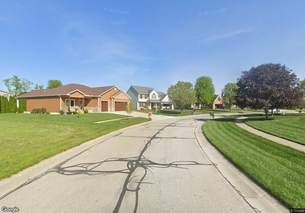
252 W Brooke Ln Unit BLK Blissfield, MI 49228
Estimated Value: $254,285 - $319,000
3
Beds
3
Baths
1,804
Sq Ft
$164/Sq Ft
Est. Value
About This Home
This home is located at 252 W Brooke Ln Unit BLK, Blissfield, MI 49228 and is currently estimated at $295,762, approximately $163 per square foot. 252 W Brooke Ln Unit BLK is a home located in Lenawee County with nearby schools including Blissfield Elementary School, Blissfield Middle School, and Blissfield High School.
Ownership History
Date
Name
Owned For
Owner Type
Purchase Details
Closed on
Oct 20, 2005
Sold by
Fornwald Development Llc
Bought by
Phillips Lori L and The Lori L Phillips Living Trust
Current Estimated Value
Home Financials for this Owner
Home Financials are based on the most recent Mortgage that was taken out on this home.
Original Mortgage
$125,000
Outstanding Balance
$883
Interest Rate
5.89%
Mortgage Type
New Conventional
Estimated Equity
$294,879
Create a Home Valuation Report for This Property
The Home Valuation Report is an in-depth analysis detailing your home's value as well as a comparison with similar homes in the area
Home Values in the Area
Average Home Value in this Area
Purchase History
| Date | Buyer | Sale Price | Title Company |
|---|---|---|---|
| Phillips Lori L | $177,500 | Chicago Title Monroe |
Source: Public Records
Mortgage History
| Date | Status | Borrower | Loan Amount |
|---|---|---|---|
| Open | Phillips Lori L | $125,000 |
Source: Public Records
Tax History Compared to Growth
Tax History
| Year | Tax Paid | Tax Assessment Tax Assessment Total Assessment is a certain percentage of the fair market value that is determined by local assessors to be the total taxable value of land and additions on the property. | Land | Improvement |
|---|---|---|---|---|
| 2025 | $4,101 | $112,300 | $0 | $0 |
| 2024 | $1,297 | $108,000 | $0 | $0 |
| 2022 | $3,184 | $95,900 | $0 | $0 |
| 2021 | $4,483 | $94,200 | $0 | $0 |
| 2020 | $4,392 | $96,100 | $0 | $0 |
| 2019 | $203,227 | $90,400 | $0 | $0 |
| 2018 | $4,208 | $87,281 | $0 | $0 |
| 2017 | $3,947 | $81,382 | $0 | $0 |
| 2016 | $3,878 | $74,904 | $0 | $0 |
| 2014 | -- | $73,235 | $0 | $0 |
Source: Public Records
Map
Nearby Homes
- 664 Korey's Cir
- 650 W Adrian St Unit Lot 125
- 612 High St
- 370 S Monroe St
- 356 S Monroe St
- 204 Kingsberry
- 202 Kingsberry
- 207 Kingsberry
- 209 Kingsberry
- 401 W Adrian St
- Integrity 2280 Plan at Kingsberry Court - Integrity
- 108 S Monroe St
- 105 S Monroe St
- 405 N Monroe St
- 219 Cherry St
- 212 White St
- 615 Smead St
- 710 Parkwood Ave
- 200 BLK Railroad
- 414 Jipson St
- 240 W Brooke Ln
- 193 W Brooke Ln
- 191 W Brooke Ln
- 185 W Brooke Ln
- 205 W Brooke Ln
- 229 W Brooke Ln Unit BLK
- 241 W Brooke Ln Unit BLK
- 265 W Brooke Ln Unit BLK
- 277 W Brooke Ln Unit BLK
- 289 W Brooke Ln Unit BLK
- 288 W Brooke Ln Unit BLK
- 276 W Brooke Ln Unit BLK
- 712 S Brooke Cir
- 240 W Brooke Ln
- 300 W Brooke Ln
- 177 W Brooke Ln
- 177 W Brooke Ln
- 185 W Brooke Ln
- 191 W Brooke Ln
- 265 W Brooke Ln