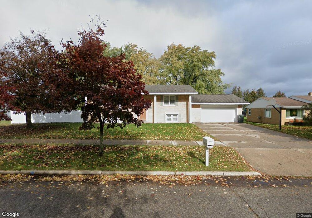
2520 1st Ave S Escanaba, MI 49829
Estimated Value: $146,000 - $165,000
4
Beds
2
Baths
1,282
Sq Ft
$119/Sq Ft
Est. Value
About This Home
This home is located at 2520 1st Ave S, Escanaba, MI 49829 and is currently estimated at $152,088, approximately $118 per square foot. 2520 1st Ave S is a home located in Delta County with nearby schools including Escanaba Jr./Sr. High School, Holy Name Catholic School, and Escanaba Sda School.
Ownership History
Date
Name
Owned For
Owner Type
Purchase Details
Closed on
Aug 28, 2008
Sold by
Benton Benjamin P
Bought by
Bugay Richard and Bugay Lori
Current Estimated Value
Home Financials for this Owner
Home Financials are based on the most recent Mortgage that was taken out on this home.
Original Mortgage
$67,000
Outstanding Balance
$44,607
Interest Rate
6.54%
Mortgage Type
Unknown
Estimated Equity
$107,481
Purchase Details
Closed on
Mar 15, 2004
Bought by
Benton
Create a Home Valuation Report for This Property
The Home Valuation Report is an in-depth analysis detailing your home's value as well as a comparison with similar homes in the area
Home Values in the Area
Average Home Value in this Area
Purchase History
| Date | Buyer | Sale Price | Title Company |
|---|---|---|---|
| Bugay Richard | $53,000 | -- | |
| Benton | $49,900 | -- |
Source: Public Records
Mortgage History
| Date | Status | Borrower | Loan Amount |
|---|---|---|---|
| Open | Bugay Richard | $67,000 |
Source: Public Records
Tax History Compared to Growth
Tax History
| Year | Tax Paid | Tax Assessment Tax Assessment Total Assessment is a certain percentage of the fair market value that is determined by local assessors to be the total taxable value of land and additions on the property. | Land | Improvement |
|---|---|---|---|---|
| 2025 | $2,105 | $47,200 | $0 | $0 |
| 2024 | $1,119 | $42,800 | $0 | $0 |
| 2023 | $1,066 | $39,100 | $0 | $0 |
| 2022 | $1,945 | $34,400 | $0 | $0 |
| 2021 | $1,877 | $32,900 | $0 | $0 |
| 2020 | $1,856 | $33,100 | $0 | $0 |
| 2019 | $1,805 | $31,100 | $0 | $0 |
| 2018 | $1,763 | $30,500 | $0 | $0 |
| 2017 | $897 | $30,554 | $0 | $0 |
| 2016 | $1,697 | $30,435 | $0 | $0 |
| 2014 | $859 | $29,138 | $0 | $0 |
| 2013 | $859 | $28,754 | $0 | $0 |
Source: Public Records
Map
Nearby Homes
- 0 E State Highway M35
- 2125 5th Ave S
- 308 S 19th St
- 413 S 19th St
- 513 S 32nd St
- 615 S 31st St
- 419 S 32nd St
- 201 N 16th St
- 3215 6th Ave S
- 514-516 S 15th
- 624 S 16th St
- 1407 1st Ave N
- 1125 30th St S
- 1824 9th Ave S
- 1020 S 18th St
- US HWY 2 & 41
- 300 N 13th St
- E4639 E State Highway M35
- 315 N 12th St
- 1021 N 20th St