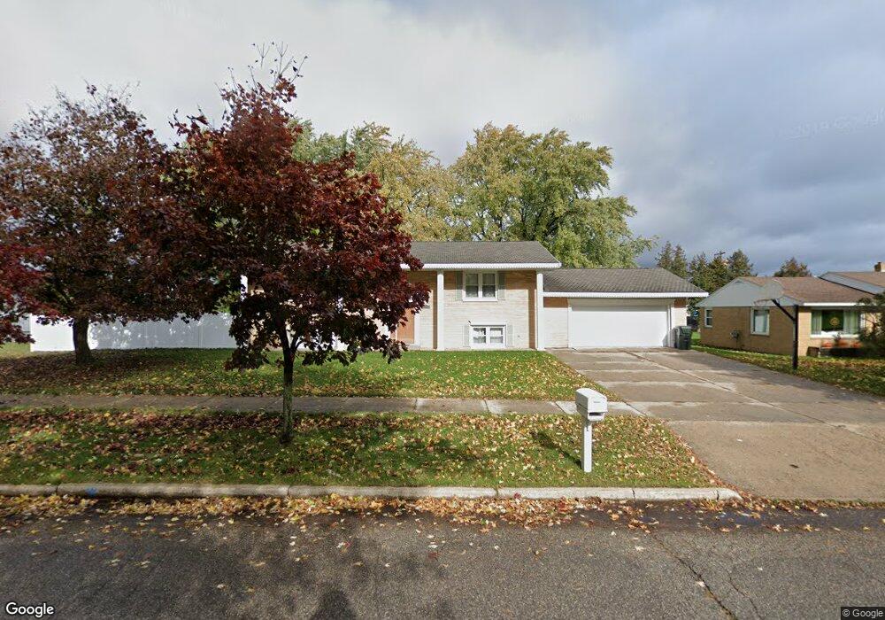
2520 1st Ave S Escanaba, MI 49829
Estimated Value: $133,093 - $155,000
2
Beds
2
Baths
1,055
Sq Ft
$139/Sq Ft
Est. Value
About This Home
This home is located at 2520 1st Ave S, Escanaba, MI 49829 and is currently estimated at $146,773, approximately $139 per square foot. 2520 1st Ave S is a home located in Delta County with nearby schools including Escanaba Jr./Sr. High School, Holy Name Catholic School, and Escanaba Sda School.
Ownership History
Date
Name
Owned For
Owner Type
Purchase Details
Closed on
Jan 5, 2010
Sold by
Mcinerney Richard and Jenshak Michelle
Bought by
Bugay Richard and Bugay Lori
Current Estimated Value
Home Financials for this Owner
Home Financials are based on the most recent Mortgage that was taken out on this home.
Original Mortgage
$63,000
Outstanding Balance
$41,005
Interest Rate
4.78%
Mortgage Type
Purchase Money Mortgage
Estimated Equity
$105,768
Purchase Details
Closed on
Jul 3, 2003
Sold by
Elegeert Thomas C and Rappette Suz A
Bought by
Mcinerney Richard and Mcinerney Michelle
Create a Home Valuation Report for This Property
The Home Valuation Report is an in-depth analysis detailing your home's value as well as a comparison with similar homes in the area
Home Values in the Area
Average Home Value in this Area
Purchase History
| Date | Buyer | Sale Price | Title Company |
|---|---|---|---|
| Bugay Richard | -- | -- | |
| Mcinerney Richard | $40,000 | -- |
Source: Public Records
Mortgage History
| Date | Status | Borrower | Loan Amount |
|---|---|---|---|
| Open | Bugay Richard | $63,000 |
Source: Public Records
Tax History
| Year | Tax Paid | Tax Assessment Tax Assessment Total Assessment is a certain percentage of the fair market value that is determined by local assessors to be the total taxable value of land and additions on the property. | Land | Improvement |
|---|---|---|---|---|
| 2025 | $1,144 | $48,700 | $0 | $0 |
| 2024 | $1,111 | $44,900 | $0 | $0 |
| 2023 | $1,059 | $39,400 | $0 | $0 |
| 2022 | $1,932 | $34,100 | $0 | $0 |
| 2021 | $1,865 | $31,400 | $0 | $0 |
| 2020 | $1,844 | $33,300 | $0 | $0 |
| 2019 | $1,793 | $32,100 | $0 | $0 |
| 2018 | $1,751 | $31,800 | $0 | $0 |
| 2017 | $892 | $31,691 | $0 | $0 |
| 2016 | $1,686 | $29,974 | $0 | $0 |
| 2014 | $853 | $28,129 | $0 | $0 |
| 2013 | $853 | $27,368 | $0 | $0 |
Source: Public Records
Map
Nearby Homes
- 2414 Ludington St
- 206 N 21st
- 219 N 20th St
- 1824 9th Ave S
- 1020 S 18th St
- 1524 9th Ave S
- 1114 1st Ave S
- 1021 N 20th St
- 1930 S 22nd St
- 910 13th St S
- 113 S 10th St
- 1002 Stephenson Ave
- 509 S 10th St
- 804 S 13th St
- 517 S 9th St
- 1031 Sheridan Rd
- 417 S 8th St
- 1401 N 23rd St Unit 70
- 1401 LOT 107 N 23rd St
- 1401 N St
Your Personal Tour Guide
Ask me questions while you tour the home.