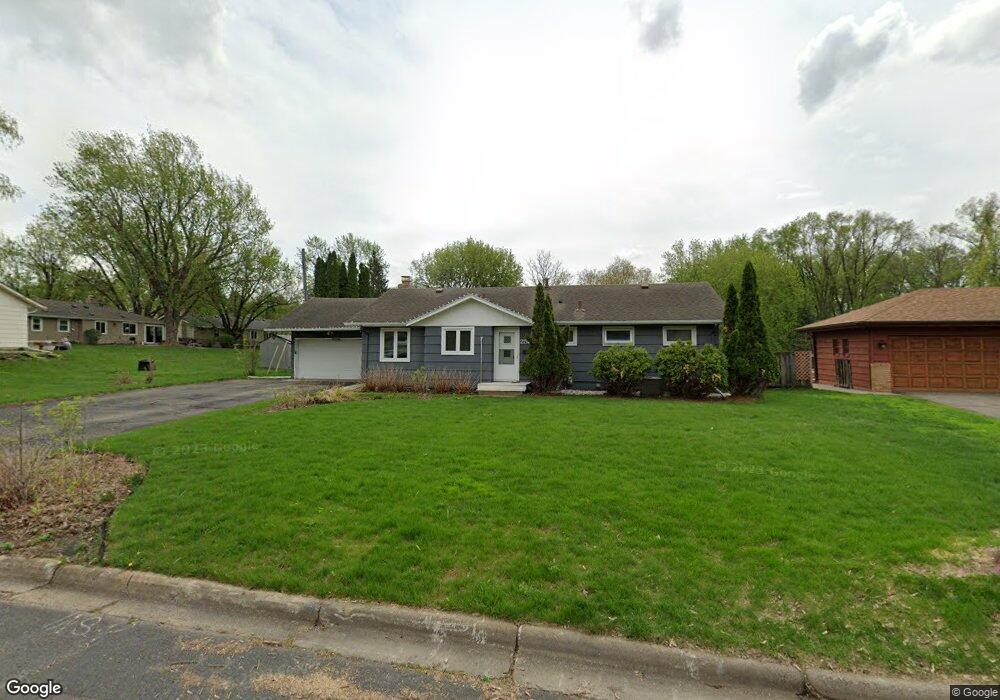
2521 W 91st St Minneapolis, MN 55431
West Bloomington NeighborhoodEstimated Value: $400,000 - $434,367
5
Beds
2
Baths
2,369
Sq Ft
$174/Sq Ft
Est. Value
About This Home
This home is located at 2521 W 91st St, Minneapolis, MN 55431 and is currently estimated at $411,342, approximately $173 per square foot. 2521 W 91st St is a home located in Hennepin County with nearby schools including Washburn Elementary School, Oak Grove Middle School, and Kennedy Senior High School.
Ownership History
Date
Name
Owned For
Owner Type
Purchase Details
Closed on
Aug 1, 2016
Sold by
Groon Neil and Groon Kellie D
Bought by
Mclaurin Brian and Mclaurin Jewellynn
Current Estimated Value
Home Financials for this Owner
Home Financials are based on the most recent Mortgage that was taken out on this home.
Original Mortgage
$255,192
Outstanding Balance
$206,138
Interest Rate
3.87%
Mortgage Type
FHA
Estimated Equity
$205,204
Create a Home Valuation Report for This Property
The Home Valuation Report is an in-depth analysis detailing your home's value as well as a comparison with similar homes in the area
Home Values in the Area
Average Home Value in this Area
Purchase History
| Date | Buyer | Sale Price | Title Company |
|---|---|---|---|
| Mclaurin Brian | $259,900 | Titlesmart Inc |
Source: Public Records
Mortgage History
| Date | Status | Borrower | Loan Amount |
|---|---|---|---|
| Open | Mclaurin Brian | $255,192 |
Source: Public Records
Tax History Compared to Growth
Tax History
| Year | Tax Paid | Tax Assessment Tax Assessment Total Assessment is a certain percentage of the fair market value that is determined by local assessors to be the total taxable value of land and additions on the property. | Land | Improvement |
|---|---|---|---|---|
| 2024 | $6,218 | $380,200 | $131,200 | $249,000 |
| 2023 | $5,970 | $373,900 | $123,400 | $250,500 |
| 2022 | $5,114 | $366,600 | $120,800 | $245,800 |
| 2021 | $4,648 | $317,900 | $118,800 | $199,100 |
| 2020 | $4,431 | $284,800 | $102,600 | $182,200 |
| 2019 | $3,459 | $297,700 | $109,000 | $188,700 |
| 2018 | $3,424 | $269,900 | $133,100 | $136,800 |
| 2017 | $3,272 | $252,500 | $123,800 | $128,700 |
| 2016 | $3,450 | $252,200 | $126,500 | $125,700 |
| 2015 | $3,381 | $239,100 | $121,700 | $117,400 |
| 2014 | -- | $208,200 | $118,000 | $90,200 |
Source: Public Records
Map
Nearby Homes
- 9116 Vincent Ave S
- 9016 Morgan Ave S
- 9132 Morgan Ave S
- 9101 Morgan Ave S
- 2300 W 95th St
- 9516 Russell Ave S
- 9540 Penn Cir
- 8541 Queen Ave S
- 8545 Penn Ave S
- 9632 Vincent Ave S
- 8525 Penn Ave S
- 8516 Zenith Cir S
- 2311 Jones Place W
- 9917 Brookside Cir
- 8225 Xerxes Ave S
- 8549 Irwin Rd Unit 239
- 10004 Maple Cir
- 8141 York Ave S
- 3801 W 98th St Unit 402
- 3801 W 98th St Unit 109
- 2601 W 91st St
- 9040 Russell Ave S
- 2501 W 91st St
- 9048 Russell Ave S
- 2611 W 91st St
- 2621 W 91st St
- 2520 W 91st St
- 2600 W 91st St
- 2500 W 91st St
- 2610 W 91st St
- 2701 W 91st St
- 9016 Russell Ave S
- 9049 Russell Ave S
- 9041 Russell Ave S
- 9033 Russell Ave S
- 2620 W 91st St
- 9025 Russell Ave S
- 9101 Russell Ave S
- 2721 W 91st St
- 9008 Russell Ave S