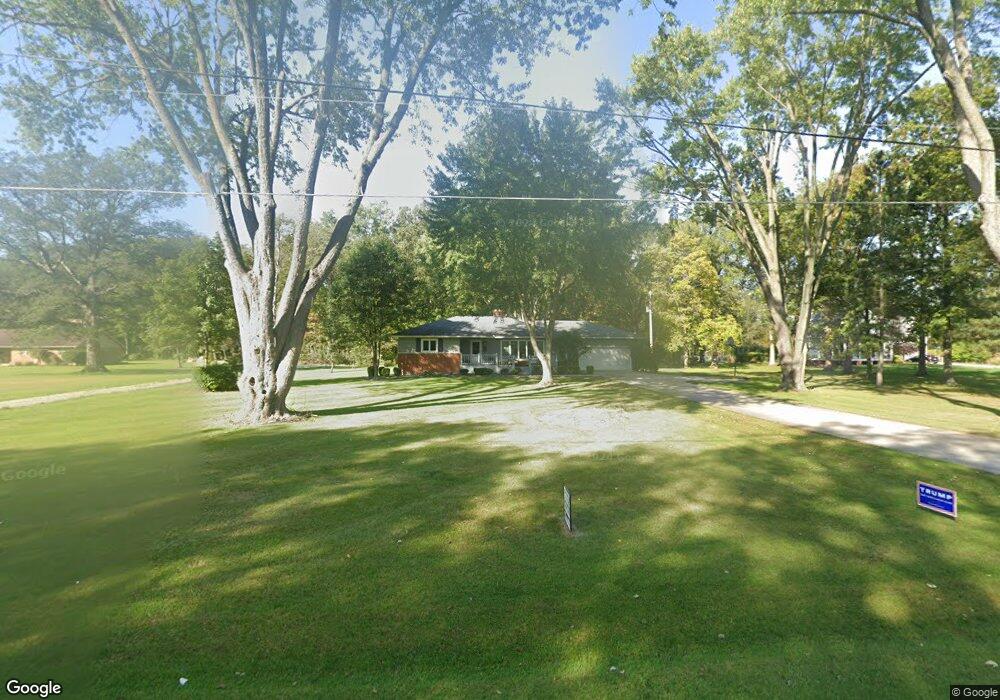
2524 S Conant Rd Spencerville, OH 45887
Estimated Value: $198,000 - $260,733
3
Beds
1
Bath
1,508
Sq Ft
$148/Sq Ft
Est. Value
About This Home
This home is located at 2524 S Conant Rd, Spencerville, OH 45887 and is currently estimated at $222,683, approximately $147 per square foot. 2524 S Conant Rd is a home located in Allen County with nearby schools including Spencerville Elementary School, Spencerville Middle School, and Spencerville High School.
Ownership History
Date
Name
Owned For
Owner Type
Purchase Details
Closed on
Jun 15, 2022
Sold by
Rider Daniel J and Rider Andrea
Bought by
Bockey Dylan A and Brown Makenzie N
Current Estimated Value
Home Financials for this Owner
Home Financials are based on the most recent Mortgage that was taken out on this home.
Original Mortgage
$176,000
Outstanding Balance
$167,465
Interest Rate
5.27%
Mortgage Type
New Conventional
Estimated Equity
$55,218
Purchase Details
Closed on
Dec 10, 2015
Sold by
Rider Dale J and Rider Carolyn S
Bought by
Rider Daniel J
Purchase Details
Closed on
Aug 29, 2011
Sold by
Miller Rev Robert A and Miller Suzanne S
Bought by
Rider Dale J and Rider Carolyn S
Purchase Details
Closed on
Jan 18, 2011
Sold by
Estate Of Robert Norman Miller
Bought by
Miller Rev Robert A and Shuster Jean
Purchase Details
Closed on
Apr 1, 1983
Bought by
Miller Robert N
Create a Home Valuation Report for This Property
The Home Valuation Report is an in-depth analysis detailing your home's value as well as a comparison with similar homes in the area
Home Values in the Area
Average Home Value in this Area
Purchase History
| Date | Buyer | Sale Price | Title Company |
|---|---|---|---|
| Bockey Dylan A | $220,000 | Schroeder Blankemeyer And Clin | |
| Rider Daniel J | -- | None Available | |
| Rider Dale J | $55,000 | Attorney | |
| Miller Rev Robert A | -- | None Available | |
| Miller Robert N | -- | -- |
Source: Public Records
Mortgage History
| Date | Status | Borrower | Loan Amount |
|---|---|---|---|
| Open | Bockey Dylan A | $176,000 |
Source: Public Records
Tax History Compared to Growth
Tax History
| Year | Tax Paid | Tax Assessment Tax Assessment Total Assessment is a certain percentage of the fair market value that is determined by local assessors to be the total taxable value of land and additions on the property. | Land | Improvement |
|---|---|---|---|---|
| 2024 | $1,610 | $52,090 | $10,190 | $41,900 |
| 2023 | $1,322 | $40,080 | $7,840 | $32,240 |
| 2022 | $1,426 | $40,080 | $7,840 | $32,240 |
| 2021 | $1,423 | $40,080 | $7,840 | $32,240 |
| 2020 | $1,268 | $34,450 | $7,180 | $27,270 |
| 2019 | $1,268 | $34,450 | $7,180 | $27,270 |
| 2018 | $1,182 | $34,450 | $7,180 | $27,270 |
| 2017 | $1,169 | $31,960 | $7,180 | $24,780 |
| 2016 | $1,138 | $31,960 | $7,180 | $24,780 |
| 2015 | $1,113 | $31,960 | $7,180 | $24,780 |
| 2014 | $1,113 | $30,880 | $6,830 | $24,050 |
| 2013 | $1,122 | $30,880 | $6,830 | $24,050 |
Source: Public Records
Map
Nearby Homes
- 7470 Fort Amanda Rd
- 22284 Ohio 198
- 1069 S Kemp Rd
- 123 Oakland Ave
- 714 Briggs Ave Unit 1
- 316 E 4th St
- 213 N Pearl St
- 425 N Main St
- 408 N Mulberry St
- 521 S Broadway St
- 406 S Mulberry St
- 00 Kleinoeder Rd
- 336 W 4th St
- 409 W 4th St
- 440 W 4th St
- 845 Atalan Trail
- 4875 Wenatchi Trail
- 4803 Kitamat Trail
- 5354 Ohio 197
- 4475 Wintergreen Dr