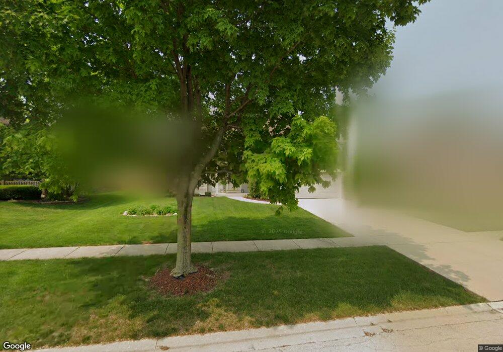
25260 Wheat Dr Unit 8 Plainfield, IL 60585
North Plainfield NeighborhoodEstimated Value: $438,739 - $517,000
Studio
1
Bath
2,316
Sq Ft
$208/Sq Ft
Est. Value
About This Home
This home is located at 25260 Wheat Dr Unit 8, Plainfield, IL 60585 and is currently estimated at $480,935, approximately $207 per square foot. 25260 Wheat Dr Unit 8 is a home located in Will County with nearby schools including Walkers Grove Elementary School, Richard Ira Jones Middle School, and Plainfield North High School.
Ownership History
Date
Name
Owned For
Owner Type
Purchase Details
Closed on
Jul 5, 2002
Sold by
Quellette James P and Quellette Janice M
Bought by
Kohler Craig D and Kohler Debra L
Current Estimated Value
Home Financials for this Owner
Home Financials are based on the most recent Mortgage that was taken out on this home.
Original Mortgage
$180,000
Outstanding Balance
$76,738
Interest Rate
6.79%
Estimated Equity
$404,197
Purchase Details
Closed on
Oct 21, 1998
Sold by
First Midwest Trust Company Natl Assn
Bought by
J K Construction Co Inc
Create a Home Valuation Report for This Property
The Home Valuation Report is an in-depth analysis detailing your home's value as well as a comparison with similar homes in the area
Home Values in the Area
Average Home Value in this Area
Purchase History
| Date | Buyer | Sale Price | Title Company |
|---|---|---|---|
| Kohler Craig D | $260,000 | First American Title | |
| J K Construction Co Inc | $39,000 | -- |
Source: Public Records
Mortgage History
| Date | Status | Borrower | Loan Amount |
|---|---|---|---|
| Open | Kohler Craig D | $180,000 |
Source: Public Records
Tax History
| Year | Tax Paid | Tax Assessment Tax Assessment Total Assessment is a certain percentage of the fair market value that is determined by local assessors to be the total taxable value of land and additions on the property. | Land | Improvement |
|---|---|---|---|---|
| 2024 | $9,789 | $142,501 | $37,050 | $105,451 |
| 2023 | $9,789 | $125,885 | $32,730 | $93,155 |
| 2022 | $8,535 | $112,497 | $30,962 | $81,535 |
| 2021 | $8,217 | $107,140 | $29,488 | $77,652 |
| 2020 | $8,210 | $105,443 | $29,021 | $76,422 |
| 2019 | $8,084 | $102,471 | $28,203 | $74,268 |
| 2018 | $7,639 | $95,332 | $27,581 | $67,751 |
| 2017 | $7,598 | $92,871 | $26,869 | $66,002 |
| 2016 | $7,614 | $90,872 | $26,291 | $64,581 |
| 2015 | $7,286 | $87,377 | $25,280 | $62,097 |
| 2014 | $7,286 | $83,090 | $25,280 | $57,810 |
| 2013 | $7,286 | $83,090 | $25,280 | $57,810 |
Source: Public Records
Map
Nearby Homes
- 25301 Pavilion Place
- 13204 Cinnamon Cir
- 25216 Round Barn Rd Unit 11
- 13203 Skyline Dr
- 25267 Trelliage Ave
- 12820 Tipperary Ln
- 25004 Chelsea Ln
- 25764 Sunnymere Dr
- 13018 S Sydney Cir
- 12913 Waterford Ct Unit 1
- 12906 S Sydney Cir
- 24528 W Alexis Ln
- 25736 W Sunnymere Dr
- 2912 Savana Dr
- 2907 Savana Dr
- 2921 Savana Dr
- 2915 Savana Dr
- 2908 Savana Dr
- 2916 Savana Dr
- 2917 Savana Dr
- 25254 Wheat Dr
- 25304 Wheat Dr
- 25251 Sunderlin Rd
- 25261 Sunderlin Rd
- 25243 Sunderlin Rd
- 25310 Wheat Dr Unit 8
- 25246 Wheat Dr
- 25261 Wheat Dr
- 25235 Sunderlin Rd
- 25318 Wheat Dr
- 25245 Wheat Dr
- 25311 Wheat Dr
- 25313 Sunderlin Rd
- 25227 Sunderlin Rd
- 25319 Wheat Dr
- 25250 Sunderlin Rd
- 25260 Jacob Fry Dr
- 25258 Sunderlin Rd Unit 10
- 25242 Sunderlin Rd
- 25250 Jacob Fry Dr
Your Personal Tour Guide
Ask me questions while you tour the home.