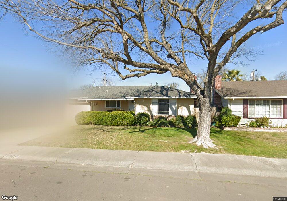
2527 Porter Way Stockton, CA 95207
Lincoln Village NeighborhoodEstimated Value: $128,000 - $476,000
4
Beds
2
Baths
1,649
Sq Ft
$225/Sq Ft
Est. Value
About This Home
This home is located at 2527 Porter Way, Stockton, CA 95207 and is currently estimated at $371,228, approximately $225 per square foot. 2527 Porter Way is a home located in San Joaquin County with nearby schools including Tully C. Knoles School, Sierra Middle School, and Lincoln High School.
Ownership History
Date
Name
Owned For
Owner Type
Purchase Details
Closed on
Aug 29, 2011
Sold by
Fannie Mae
Bought by
Ware Damien Lee
Current Estimated Value
Purchase Details
Closed on
Jun 30, 2011
Sold by
Lange Dorothy L
Bought by
Federal National Mortgage Association
Purchase Details
Closed on
Oct 16, 1997
Sold by
Lange D
Bought by
Lange Dorothy L and Dorothy L Lange Family Trust
Create a Home Valuation Report for This Property
The Home Valuation Report is an in-depth analysis detailing your home's value as well as a comparison with similar homes in the area
Home Values in the Area
Average Home Value in this Area
Purchase History
| Date | Buyer | Sale Price | Title Company |
|---|---|---|---|
| Ware Damien Lee | $123,000 | Commerce Title | |
| Federal National Mortgage Association | $123,000 | Pacific Coast Title | |
| Lange Dorothy L | -- | -- |
Source: Public Records
Tax History Compared to Growth
Tax History
| Year | Tax Paid | Tax Assessment Tax Assessment Total Assessment is a certain percentage of the fair market value that is determined by local assessors to be the total taxable value of land and additions on the property. | Land | Improvement |
|---|---|---|---|---|
| 2025 | $3,879 | $154,486 | $37,678 | $116,808 |
| 2024 | $3,753 | $151,458 | $36,940 | $114,518 |
| 2023 | $3,660 | $148,489 | $36,216 | $112,273 |
| 2022 | $3,468 | $145,578 | $35,506 | $110,072 |
| 2021 | $3,404 | $142,724 | $34,810 | $107,914 |
| 2020 | $3,369 | $141,262 | $34,454 | $106,808 |
| 2019 | $3,343 | $138,493 | $33,779 | $104,714 |
| 2018 | $3,263 | $135,778 | $33,117 | $102,661 |
| 2017 | $3,229 | $133,117 | $32,468 | $100,649 |
| 2016 | $2,995 | $130,507 | $31,831 | $98,676 |
| 2014 | $3,025 | $126,030 | $30,739 | $95,291 |
Source: Public Records
Map
Nearby Homes
- 2447 Calhoun Way
- 2252 Canyon Creek Dr
- 2914 Prentiss Ct
- 2922 Prentiss Ct
- 5734 Turtle Valley Dr
- 6415 Plymouth Rd
- 2421 Meadow Lake Dr
- 2935 Prentiss Ct Unit 1844
- 2252 W Benjamin Holt Dr
- 2128 Canyon Creek Dr
- 5713 Turtle Valley Dr
- 2921 Rutledge Ct
- 5522 Teal Ct
- 2014 Douglas Rd
- 2433 Pheasant Run Cir
- 2039 W Benjamin Holt Dr
- 5633 Brush Creek Dr
- 1929 W Swain Rd
- 2009 Cedar Ridge Dr
- 2005 Cedar Ridge Dr
- 2517 Porter Way
- 2537 Porter Way
- 2530 Douglas Rd
- 2518 Douglas Rd
- 2547 Porter Way
- 2540 Douglas Rd
- 6209 Belmont Place
- 2528 Porter Way
- 2518 Porter Way
- 2540 Porter Way
- 2552 Douglas Rd
- 2506 Porter Way
- 2550 Porter Way
- 2519 Douglas Rd
- 2562 Douglas Rd
- 2531 Douglas Rd
- 2565 Porter Way
- 2560 Porter Way
- 2527 W Swain Rd
- 2517 W Swain Rd