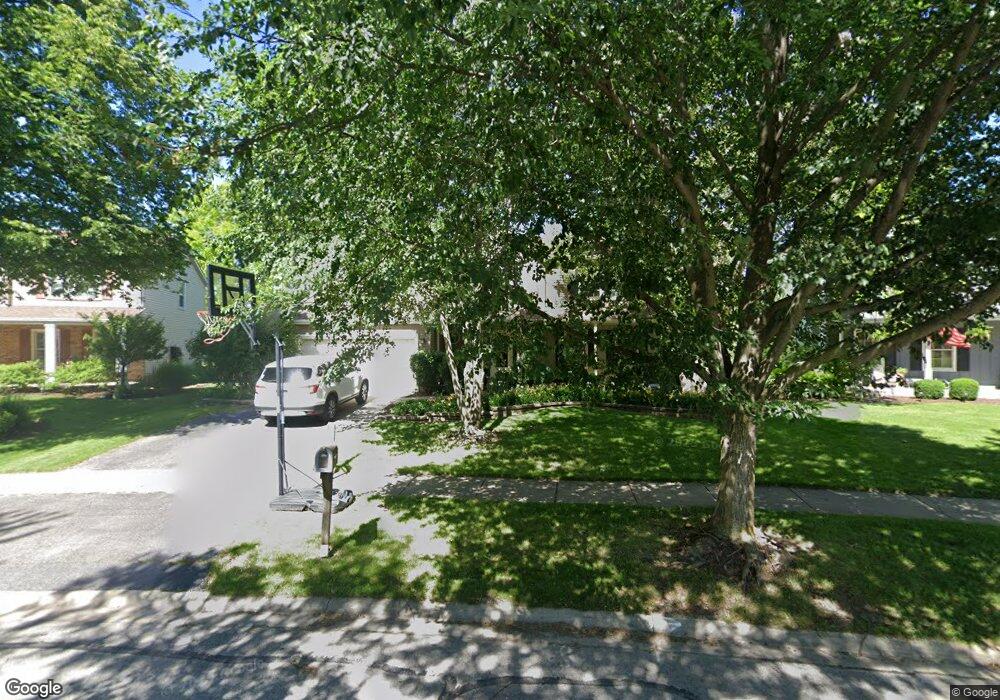
2528 Newport Dr Naperville, IL 60565
Old Farm NeighborhoodEstimated Value: $561,921 - $626,000
4
Beds
3
Baths
2,270
Sq Ft
$261/Sq Ft
Est. Value
About This Home
This home is located at 2528 Newport Dr, Naperville, IL 60565 and is currently estimated at $593,480, approximately $261 per square foot. 2528 Newport Dr is a home located in Will County with nearby schools including Spring Brook Elementary School, Ellsworth Elementary School, and Gordon Gregory Middle School.
Ownership History
Date
Name
Owned For
Owner Type
Purchase Details
Closed on
Dec 7, 2006
Sold by
Nechi Peter M and Nechi Carole S
Bought by
Wahl Justen and Wahl Carrie
Current Estimated Value
Home Financials for this Owner
Home Financials are based on the most recent Mortgage that was taken out on this home.
Original Mortgage
$334,400
Interest Rate
6.21%
Mortgage Type
Purchase Money Mortgage
Create a Home Valuation Report for This Property
The Home Valuation Report is an in-depth analysis detailing your home's value as well as a comparison with similar homes in the area
Home Values in the Area
Average Home Value in this Area
Purchase History
| Date | Buyer | Sale Price | Title Company |
|---|---|---|---|
| Wahl Justen | $418,000 | Baird & Warner Title Service |
Source: Public Records
Mortgage History
| Date | Status | Borrower | Loan Amount |
|---|---|---|---|
| Previous Owner | Wahl Justen | $334,400 |
Source: Public Records
Tax History Compared to Growth
Tax History
| Year | Tax Paid | Tax Assessment Tax Assessment Total Assessment is a certain percentage of the fair market value that is determined by local assessors to be the total taxable value of land and additions on the property. | Land | Improvement |
|---|---|---|---|---|
| 2024 | $10,044 | $161,352 | $36,171 | $125,181 |
| 2023 | $10,044 | $142,537 | $31,953 | $110,584 |
| 2022 | $9,182 | $132,726 | $30,226 | $102,500 |
| 2021 | $8,771 | $126,406 | $28,787 | $97,619 |
| 2020 | $8,602 | $124,403 | $28,331 | $96,072 |
| 2019 | $8,452 | $120,897 | $27,533 | $93,364 |
| 2018 | $8,416 | $118,348 | $26,927 | $91,421 |
| 2017 | $8,284 | $115,293 | $26,232 | $89,061 |
| 2016 | $8,267 | $112,811 | $25,667 | $87,144 |
| 2015 | $8,325 | $108,472 | $24,680 | $83,792 |
| 2014 | $8,325 | $107,203 | $24,680 | $82,523 |
| 2013 | $8,325 | $107,203 | $24,680 | $82,523 |
Source: Public Records
Map
Nearby Homes
- 2509 Brockton Cir
- 2734 Alyssa Dr
- 445 Travelaire Ave
- 2206 Gleneagles Dr
- 567 Roxbury Dr
- 2471 Kingsley Dr
- 2167 Countryside Cir
- 2337 Worthing Dr Unit 102A
- 1948 Navarone Dr
- 51 Ford Ln
- 1134 Gateshead Dr
- 36 Oak Bluff Ct
- 20 Pinnacle Ct
- 44 Oak Bluff Ct
- 15 Pinnacle Ct
- 2132 Berkley Ct Unit 201A
- 47 Glencoe Ct Unit 102D
- 23 Glencoe Ct Unit 202B
- 1123 Thackery Ln
- 2741 Gateshead Dr
- 2524 Newport Dr
- 2532 Newport Dr
- 424 Pickerel Ct
- 2536 Newport Dr
- 419 Avena Ct
- 420 Pickerel Ct
- 2525 Newport Dr
- 415 Avena Ct
- 2516 Newport Dr
- 2540 Newport Dr
- 2533 Newport Dr
- 2517 Newport Dr
- 423 Pickerel Ct
- 416 Pickerel Ct
- 2512 Newport Dr
- 2544 Newport Dr
- 420 Avena Ct
- 411 Avena Ct
- 2513 Newport Dr
- 412 Pickerel Ct