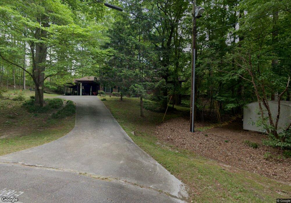
253 Andrews Rd Toccoa, GA 30577
Estimated Value: $185,000 - $240,000
3
Beds
2
Baths
1,433
Sq Ft
$149/Sq Ft
Est. Value
About This Home
This home is located at 253 Andrews Rd, Toccoa, GA 30577 and is currently estimated at $213,884, approximately $149 per square foot. 253 Andrews Rd is a home located in Stephens County with nearby schools including Stephens County High School.
Ownership History
Date
Name
Owned For
Owner Type
Purchase Details
Closed on
Nov 27, 2013
Sold by
Paine Robbie B
Bought by
Ferrell Holdings Ii Llc
Current Estimated Value
Home Financials for this Owner
Home Financials are based on the most recent Mortgage that was taken out on this home.
Original Mortgage
$110,000
Interest Rate
4.13%
Mortgage Type
New Conventional
Purchase Details
Closed on
Mar 20, 2007
Sold by
Not Provided
Bought by
Paine Robbie B and William F Of T Robbie
Purchase Details
Closed on
Mar 1, 1992
Bought by
<Buyer Info Not Present>
Purchase Details
Closed on
May 1, 1986
Bought by
<Buyer Info Not Present>
Create a Home Valuation Report for This Property
The Home Valuation Report is an in-depth analysis detailing your home's value as well as a comparison with similar homes in the area
Home Values in the Area
Average Home Value in this Area
Purchase History
| Date | Buyer | Sale Price | Title Company |
|---|---|---|---|
| Ferrell Holdings Ii Llc | -- | -- | |
| Paine Robbie B | $107,500 | -- | |
| Paine Robbie B | $107,500 | -- | |
| <Buyer Info Not Present> | $64,500 | -- | |
| <Buyer Info Not Present> | $12,800 | -- |
Source: Public Records
Mortgage History
| Date | Status | Borrower | Loan Amount |
|---|---|---|---|
| Closed | Ferrell Holdings Ii Llc | $110,000 |
Source: Public Records
Tax History Compared to Growth
Tax History
| Year | Tax Paid | Tax Assessment Tax Assessment Total Assessment is a certain percentage of the fair market value that is determined by local assessors to be the total taxable value of land and additions on the property. | Land | Improvement |
|---|---|---|---|---|
| 2024 | $1,612 | $45,216 | $4,394 | $40,822 |
| 2023 | $1,490 | $42,136 | $4,394 | $37,742 |
| 2022 | $1,187 | $39,870 | $4,394 | $35,476 |
| 2021 | $1,156 | $36,975 | $4,394 | $32,581 |
| 2020 | $1,158 | $36,666 | $4,394 | $32,272 |
| 2019 | $1,163 | $36,666 | $4,394 | $32,272 |
| 2018 | $1,163 | $36,666 | $4,394 | $32,272 |
| 2017 | $1,181 | $36,666 | $4,394 | $32,272 |
| 2016 | $1,163 | $36,665 | $4,393 | $32,271 |
| 2015 | $1,224 | $36,863 | $4,393 | $32,470 |
| 2014 | $1,206 | $35,714 | $4,394 | $31,320 |
| 2013 | -- | $35,713 | $4,393 | $31,320 |
Source: Public Records
Map
Nearby Homes
- 475 Hilltop Way
- 189 Julia Ln
- 372 Hilltop Way
- 136 Julia Ct
- 140 Julia Ct
- 490 Addington Dr
- 739 Poplar St
- 0 Valley Dr Unit 7675761
- 0 Valley Dr Unit 10600268
- 294 Stancil Dr
- 278 Stancil Dr
- 253 Stancil Dr
- 229 Hilltop Ln
- 226 Poplar St
- 151 Richardson St
- 97 Hillside Dr
- 0 Switchback Run Unit 10437289
- 275 Southern Trace
- 255 Southern Trace
- 1387 Mize Rd
- 0 Andrews Rd Unit 3261340
- 0 Andrews Rd Unit 3243996
- 0 Andrews Rd Unit 8713051
- 0 Andrews Rd Unit 8630784
- 0 Andrews Rd Unit 8119278
- 0 Andrews Rd Unit 8054887
- 0 Andrews Rd Unit 8272948
- 115 Andrews Rd
- 0 Andrews Rd Unit 8857148
- 0 Andrews Rd
- T Andrews Rd
- 604 Hilltop Way
- 584 Hilltop Way
- 277 Andrews Rd
- 33 Andrews Place
- 201 Andrews Rd
- 638 Hilltop Way
- 29 Andrews Place
- 550 Hilltop Way
- 654 Hilltop Way