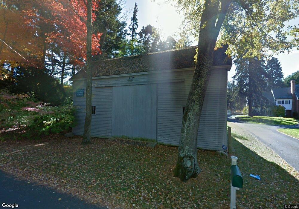
253 Brett Rd Fairfield, CT 06824
Greenfield Hill NeighborhoodEstimated Value: $1,882,000 - $3,002,000
5
Beds
5
Baths
6,179
Sq Ft
$391/Sq Ft
Est. Value
About This Home
This home is located at 253 Brett Rd, Fairfield, CT 06824 and is currently estimated at $2,417,947, approximately $391 per square foot. 253 Brett Rd is a home located in Fairfield County with nearby schools including Burr Elementary School, Tomlinson Middle School, and Fairfield Warde High School.
Ownership History
Date
Name
Owned For
Owner Type
Purchase Details
Closed on
Nov 7, 2024
Sold by
Tarasoff Sylvia and Tarasoff Barry
Bought by
Sylvia Tarasoff 2022 Ret
Current Estimated Value
Purchase Details
Closed on
May 20, 1991
Sold by
Bank Mart
Bought by
Tarasoff Sylvia
Purchase Details
Closed on
May 9, 1991
Sold by
Lonergon Tr Dane M
Bought by
Bank Mart
Create a Home Valuation Report for This Property
The Home Valuation Report is an in-depth analysis detailing your home's value as well as a comparison with similar homes in the area
Home Values in the Area
Average Home Value in this Area
Purchase History
| Date | Buyer | Sale Price | Title Company |
|---|---|---|---|
| Sylvia Tarasoff 2022 Ret | -- | None Available | |
| Sylvia Tarasoff 2022 Ret | -- | None Available | |
| Sylvia Tarasoff 2022 Ret | -- | None Available | |
| Bank Mart | $800,000 | -- | |
| Tarasoff Sylvia | $850,000 | -- | |
| Bank Mart | $800,000 | -- |
Source: Public Records
Mortgage History
| Date | Status | Borrower | Loan Amount |
|---|---|---|---|
| Previous Owner | Bank Mart | $800,000 |
Source: Public Records
Tax History Compared to Growth
Tax History
| Year | Tax Paid | Tax Assessment Tax Assessment Total Assessment is a certain percentage of the fair market value that is determined by local assessors to be the total taxable value of land and additions on the property. | Land | Improvement |
|---|---|---|---|---|
| 2025 | $35,328 | $1,244,390 | $298,550 | $945,840 |
| 2024 | $34,718 | $1,244,390 | $298,550 | $945,840 |
| 2023 | $34,233 | $1,244,390 | $298,550 | $945,840 |
| 2022 | $33,897 | $1,244,390 | $298,550 | $945,840 |
| 2021 | $33,574 | $1,244,390 | $298,550 | $945,840 |
| 2020 | $36,972 | $1,380,050 | $287,560 | $1,092,490 |
| 2019 | $36,972 | $1,380,050 | $287,560 | $1,092,490 |
| 2018 | $36,378 | $1,380,050 | $287,560 | $1,092,490 |
| 2017 | $35,633 | $1,380,050 | $287,560 | $1,092,490 |
| 2016 | $35,122 | $1,380,050 | $287,560 | $1,092,490 |
| 2015 | $35,633 | $1,437,380 | $320,040 | $1,117,340 |
| 2014 | $35,072 | $1,437,380 | $320,040 | $1,117,340 |
Source: Public Records
Map
Nearby Homes
- 22 Brett Rd
- 2281 Redding Rd
- 4800 Congress St
- 158 Coventry Ln
- 180 Catamount Rd
- 2015 Redding Rd
- 2425 Merwins Ln
- 3853 Congress St
- 2775 North St
- 101 Brambley Hedge Cir
- 88 Merry Meet Cir
- 342 Midlock Rd
- 212 Fence Row Dr
- 312 Towne House Rd
- 480 Riders Ln
- 80 Gilbert Hwy
- 1375 Westport Turnpike
- 76 Burr St
- 2190 Sturges Hwy
- 2959 Congress St