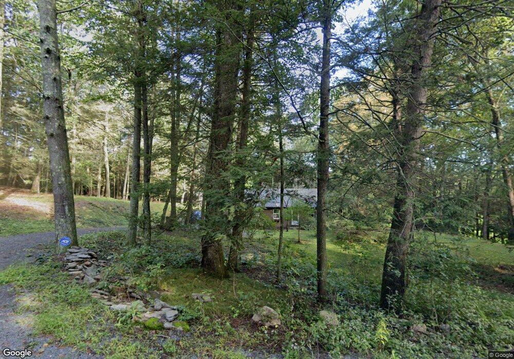
253 Brigham Rd Coventry, CT 06238
Estimated Value: $250,000 - $266,332
2
Beds
1
Bath
806
Sq Ft
$319/Sq Ft
Est. Value
About This Home
This home is located at 253 Brigham Rd, Coventry, CT 06238 and is currently estimated at $256,833, approximately $318 per square foot. 253 Brigham Rd is a home located in Tolland County with nearby schools including George Hersey Robertson School, Coventry Grammar School, and Capt. Nathan Hale School.
Ownership History
Date
Name
Owned For
Owner Type
Purchase Details
Closed on
Mar 9, 2005
Sold by
Mund Vanda
Bought by
Desiato Philip
Current Estimated Value
Create a Home Valuation Report for This Property
The Home Valuation Report is an in-depth analysis detailing your home's value as well as a comparison with similar homes in the area
Home Values in the Area
Average Home Value in this Area
Purchase History
| Date | Buyer | Sale Price | Title Company |
|---|---|---|---|
| Desiato Philip | $152,000 | -- | |
| Desiato Philip | $152,000 | -- |
Source: Public Records
Mortgage History
| Date | Status | Borrower | Loan Amount |
|---|---|---|---|
| Previous Owner | Desiato Philip | $18,000 |
Source: Public Records
Tax History
| Year | Tax Paid | Tax Assessment Tax Assessment Total Assessment is a certain percentage of the fair market value that is determined by local assessors to be the total taxable value of land and additions on the property. | Land | Improvement |
|---|---|---|---|---|
| 2025 | $3,733 | $157,100 | $45,500 | $111,600 |
| 2024 | $3,188 | $95,700 | $39,600 | $56,100 |
| 2023 | $3,038 | $95,700 | $39,600 | $56,100 |
| 2022 | $2,981 | $95,700 | $39,600 | $56,100 |
| 2021 | $2,981 | $95,700 | $39,600 | $56,100 |
| 2020 | $2,983 | $95,700 | $39,600 | $56,100 |
| 2019 | $3,075 | $95,500 | $39,600 | $55,900 |
| 2018 | $2,946 | $91,500 | $39,600 | $51,900 |
| 2017 | $2,928 | $91,500 | $39,600 | $51,900 |
| 2016 | $2,855 | $91,500 | $39,600 | $51,900 |
| 2015 | $2,855 | $91,500 | $39,600 | $51,900 |
| 2014 | $3,100 | $108,900 | $49,000 | $59,900 |
Source: Public Records
Map
Nearby Homes
- 498 Root Rd
- 55 Whites Hill Rd
- 152 Cheney Ln
- 149 Hillyndale Rd
- 222 Spring Rd
- 0 Woodland Rd
- 16 Westgate Ln
- 0 Daly Rd Unit 24146464
- 2478 Main St
- 499 Woodmont Dr
- 864 Boston Turnpike
- 198 Forest Rd
- 0 Merrow Rd Unit 24141193
- 20 Barlow Dr
- 97 Armstrong Rd
- 42 Grandview Cir
- 0 Middle Turnpike
- 167 Baxter Rd
- 27 Fox Trail
- 21 Hillpond Dr
- 327 Brigham Rd
- 105 Brigham Rd
- 53 Brigham Rd
- 118 Brigham Rd
- 38 Brigham Rd
- 475 Ripley Hill Rd
- 366 Cooper Ln
- 45 Brigham Rd
- 437 Ripley Hill Rd
- 336 Cooper Ln
- 350 Cooper Ln
- 472 Ripley Hill Rd
- 429 Ripley Hill Rd
- 49 Brigham Rd
- 82 Depot Rd
- 310 Cooper Ln
- 423 Ripley Hill Rd
- 425 Ripley Hill Rd
- 347 Cooper Ln
- 91 Depot Rd
Your Personal Tour Guide
Ask me questions while you tour the home.