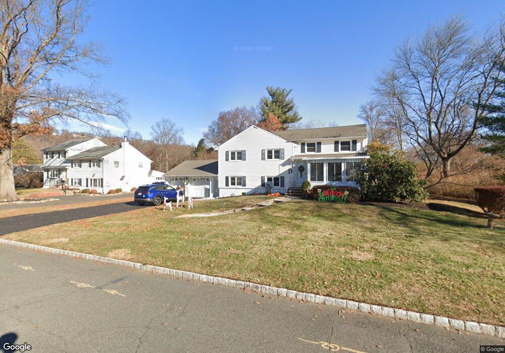
253 Carber St Bound Brook, NJ 08805
Estimated Value: $582,000 - $665,000
--
Bed
--
Bath
2,174
Sq Ft
$288/Sq Ft
Est. Value
About This Home
This home is located at 253 Carber St, Bound Brook, NJ 08805 and is currently estimated at $627,053, approximately $288 per square foot. 253 Carber St is a home located in Somerset County with nearby schools including Adamsville Primary School, Bridgewater-Raritan Middle School, and Hillside Intermediate School.
Ownership History
Date
Name
Owned For
Owner Type
Purchase Details
Closed on
May 20, 2022
Sold by
Rotunno Joseph J and Rotunno Mary-Jo A
Bought by
Dabrowski Steven and Dabrowski Cathlyn M
Current Estimated Value
Home Financials for this Owner
Home Financials are based on the most recent Mortgage that was taken out on this home.
Original Mortgage
$400,000
Outstanding Balance
$379,991
Interest Rate
5.25%
Mortgage Type
New Conventional
Estimated Equity
$247,062
Create a Home Valuation Report for This Property
The Home Valuation Report is an in-depth analysis detailing your home's value as well as a comparison with similar homes in the area
Home Values in the Area
Average Home Value in this Area
Purchase History
| Date | Buyer | Sale Price | Title Company |
|---|---|---|---|
| Dabrowski Steven | $500,000 | Fleischer Steven H |
Source: Public Records
Mortgage History
| Date | Status | Borrower | Loan Amount |
|---|---|---|---|
| Open | Dabrowski Steven | $400,000 |
Source: Public Records
Tax History Compared to Growth
Tax History
| Year | Tax Paid | Tax Assessment Tax Assessment Total Assessment is a certain percentage of the fair market value that is determined by local assessors to be the total taxable value of land and additions on the property. | Land | Improvement |
|---|---|---|---|---|
| 2025 | $9,078 | $469,800 | $224,600 | $245,200 |
| 2024 | $9,078 | $460,600 | $224,600 | $236,000 |
| 2023 | $8,480 | $422,500 | $224,600 | $197,900 |
| 2022 | $8,142 | $390,300 | $219,600 | $170,700 |
| 2021 | $8,112 | $380,500 | $219,600 | $160,900 |
| 2020 | $7,882 | $370,400 | $219,600 | $150,800 |
| 2019 | $7,893 | $367,300 | $219,600 | $147,700 |
| 2018 | $7,530 | $351,200 | $219,600 | $131,600 |
| 2017 | $7,350 | $342,500 | $219,600 | $122,900 |
| 2016 | $6,918 | $327,100 | $204,600 | $122,500 |
| 2015 | $6,863 | $324,800 | $204,600 | $120,200 |
| 2014 | $6,682 | $311,500 | $204,600 | $106,900 |
Source: Public Records
Map
Nearby Homes
- 811 Mountain Ave
- 807 Watchung Rd
- 1891 Middlebrook Rd
- 149 Mulberry Ln
- 180 Farm Ln
- 1820 Woodland Terrace
- 27 Shearn Dr
- 363 Grant Ave
- 745 Schoolhouse Ln
- 650 Central Ave
- 205 Ashland Rd
- 116 Greene Ave
- 311 Ashland Rd
- 3037 King Ct
- 231 Fairview Ave
- 563 Winsor St
- 5 Wells Place
- 14 E Maple Ave
- 52 Greenbrook Rd
- 552 Stangle Rd