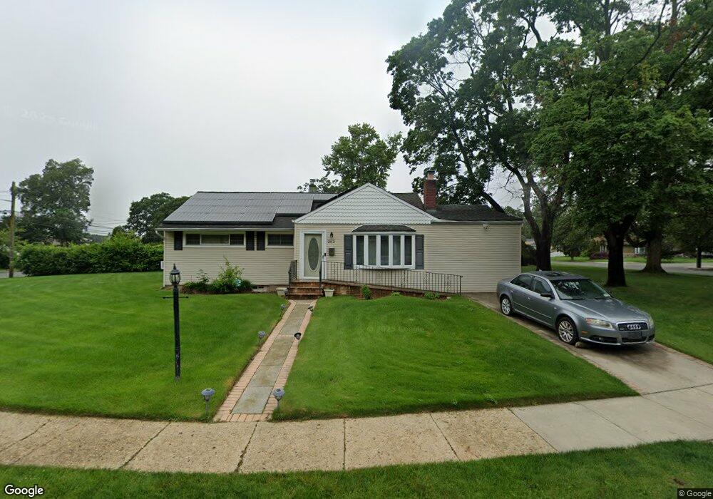
253 Coventry Rd N West Hempstead, NY 11552
Estimated Value: $621,159 - $655,000
--
Bed
1
Bath
1,166
Sq Ft
$547/Sq Ft
Est. Value
About This Home
This home is located at 253 Coventry Rd N, West Hempstead, NY 11552 and is currently estimated at $638,080, approximately $547 per square foot. 253 Coventry Rd N is a home located in Nassau County with nearby schools including Davison Avenue Intermediate School, Maurice W. Downing Primary K-2 School, and Howard T Herber Middle School.
Ownership History
Date
Name
Owned For
Owner Type
Purchase Details
Closed on
Dec 15, 1995
Sold by
Horsham-Brathwaite Harold and Horsham-Brathwaite Barbara
Bought by
Horsham-Brathwaite Barbara
Current Estimated Value
Home Financials for this Owner
Home Financials are based on the most recent Mortgage that was taken out on this home.
Original Mortgage
$113,998
Outstanding Balance
$2,319
Interest Rate
7.31%
Mortgage Type
Purchase Money Mortgage
Estimated Equity
$635,761
Create a Home Valuation Report for This Property
The Home Valuation Report is an in-depth analysis detailing your home's value as well as a comparison with similar homes in the area
Home Values in the Area
Average Home Value in this Area
Purchase History
| Date | Buyer | Sale Price | Title Company |
|---|---|---|---|
| Horsham-Brathwaite Barbara | -- | -- | |
| Horsham-Brathwaite Barbara | -- | -- |
Source: Public Records
Mortgage History
| Date | Status | Borrower | Loan Amount |
|---|---|---|---|
| Open | Horsham-Brathwaite Barbara | $113,998 | |
| Closed | Horsham-Brathwaite Barbara | $113,998 |
Source: Public Records
Tax History Compared to Growth
Tax History
| Year | Tax Paid | Tax Assessment Tax Assessment Total Assessment is a certain percentage of the fair market value that is determined by local assessors to be the total taxable value of land and additions on the property. | Land | Improvement |
|---|---|---|---|---|
| 2025 | $11,891 | $398 | $236 | $162 |
| 2024 | $4,074 | $398 | $236 | $162 |
| 2023 | $12,268 | $411 | $244 | $167 |
| 2022 | $12,268 | $398 | $236 | $162 |
| 2021 | $16,338 | $387 | $230 | $157 |
| 2020 | $12,979 | $668 | $517 | $151 |
| 2019 | $13,323 | $668 | $517 | $151 |
| 2018 | $12,581 | $668 | $0 | $0 |
| 2017 | $7,676 | $687 | $517 | $170 |
| 2016 | $11,718 | $687 | $517 | $170 |
| 2015 | $3,782 | $687 | $517 | $170 |
| 2014 | $3,782 | $687 | $517 | $170 |
| 2013 | $3,561 | $687 | $517 | $170 |
Source: Public Records
Map
Nearby Homes
- 49 Carol St
- 301 Coventry Rd N
- 312 Coventry Rd S
- 5 Juliette Rd
- 55 Melvin Ave
- 841 Woodfield Rd
- 815 Sunshine Ave
- 394 Pinebrook Ave
- 450 Rhodes Ln
- 10 Pinebrook Ave
- 639 Robin Ct
- 0 Rhodes Ln
- 1024 Mahopac Rd
- 486 Champlain Ave
- 647 Jennings Ave
- 1070 Mahopac Rd
- 7 Hopatcong Ave
- 461 Pinebrook Ave
- 629 Park Ave
- 924 Otsego Ct
- 259 Coventry Rd N
- 260 Coventry Rd S
- 267 Coventry Rd N
- 248 Coventry Rd N
- 258 Coventry Rd N
- 252 Coventry Rd N
- 266 Coventry Rd S
- 240 Coventry Rd N
- 239 Coventry Rd S
- 266 Coventry Rd N
- 273 Coventry Rd N
- 244 Coventry Rd N
- 243 Coventry Rd S
- 272 Coventry Rd S
- 251 Coventry Rd S
- 98 Janos Ln
- 247 Coventry Rd S
- 274 Coventry Rd N
- 57 Carol St
- 882 Janos Ln