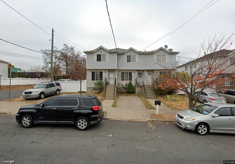
253 Osgood Ave Unit 259 Staten Island, NY 10304
Clifton NeighborhoodEstimated Value: $617,000 - $755,000
--
Bed
4
Baths
1,350
Sq Ft
$507/Sq Ft
Est. Value
About This Home
This home is located at 253 Osgood Ave Unit 259, Staten Island, NY 10304 and is currently estimated at $684,267, approximately $506 per square foot. 253 Osgood Ave Unit 259 is a home located in Richmond County with nearby schools including Ps 13 M L Lindenmeyer, I.S. 49 Berta A Dreyfus, and New Dorp High School.
Ownership History
Date
Name
Owned For
Owner Type
Purchase Details
Closed on
Jul 1, 2004
Sold by
Nyc Partnership Housing Development Fund
Bought by
Prevost Theart
Current Estimated Value
Home Financials for this Owner
Home Financials are based on the most recent Mortgage that was taken out on this home.
Original Mortgage
$196,900
Interest Rate
5.85%
Mortgage Type
Purchase Money Mortgage
Create a Home Valuation Report for This Property
The Home Valuation Report is an in-depth analysis detailing your home's value as well as a comparison with similar homes in the area
Home Values in the Area
Average Home Value in this Area
Purchase History
| Date | Buyer | Sale Price | Title Company |
|---|---|---|---|
| Prevost Theart | $207,900 | Lee & Amtzis Title Agency |
Source: Public Records
Mortgage History
| Date | Status | Borrower | Loan Amount |
|---|---|---|---|
| Previous Owner | Prevost Theart | $196,900 |
Source: Public Records
Tax History Compared to Growth
Tax History
| Year | Tax Paid | Tax Assessment Tax Assessment Total Assessment is a certain percentage of the fair market value that is determined by local assessors to be the total taxable value of land and additions on the property. | Land | Improvement |
|---|---|---|---|---|
| 2025 | $4,668 | $41,220 | $4,016 | $37,204 |
| 2024 | $4,668 | $36,480 | $4,281 | $32,199 |
| 2023 | $4,720 | $23,242 | $4,246 | $18,996 |
| 2022 | $4,605 | $34,380 | $6,720 | $27,660 |
| 2021 | $4,580 | $33,480 | $6,720 | $26,760 |
| 2020 | $4,346 | $30,360 | $6,720 | $23,640 |
| 2019 | $4,052 | $32,940 | $6,720 | $26,220 |
| 2018 | $3,948 | $19,368 | $4,788 | $14,580 |
| 2017 | $3,918 | $19,222 | $5,756 | $13,466 |
| 2016 | $3,625 | $18,134 | $5,673 | $12,461 |
| 2015 | $3,097 | $17,108 | $4,926 | $12,182 |
| 2014 | $3,097 | $16,140 | $5,580 | $10,560 |
Source: Public Records
Map
Nearby Homes
- 119 Skyline Dr
- 16 Burgundy Loop
- 99 Park Hill Cir
- 208 Osgood Ave
- 22 Long Pond Ln
- 33 Geo Ct
- 202 Chestnut Ave
- 42 Studio Ln
- 89 Park Hill Ct
- 59 Bell St
- 311 Tompkins Ave
- 59 Park Hill Ave
- 48 White Plains Ave
- 242 Vanderbilt Ave
- 29 Park Hill Ave
- 446 Tompkins Ave
- 189 Saint Marys Ave
- 295 Vanderbilt Ave
- 208 Saint Marys Ave
- 243 Tompkins Ave
- 253-259 Osgood Ave
- 255-261 Osgood Ave
- 255 Osgood Ave Unit 261
- 257 Osgood Ave Unit 263
- 257-263 Osgood Ave
- 261 Osgood Ave Unit 265
- 263 Osgood Ave Unit 267
- 243 Osgood Ave
- 107 Burgundy Loop
- 265 Osgood Ave
- 241 Osgood Ave
- 105 Burgundy Loop
- 115 Skyline Dr
- 117 Skyline Dr
- 103 Skyline Dr
- 239 Osgood Ave
- 267 Osgood Ave
- 101 Skyline Dr
- 121 Skyline Dr
- 99 Skyline Dr