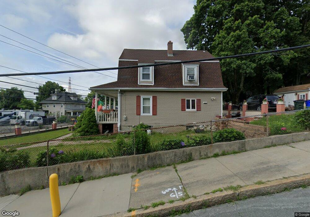
2531 N Main St Fall River, MA 02720
Western Fall River NeighborhoodEstimated Value: $409,000 - $449,000
3
Beds
2
Baths
1,882
Sq Ft
$228/Sq Ft
Est. Value
About This Home
This home is located at 2531 N Main St, Fall River, MA 02720 and is currently estimated at $429,203, approximately $228 per square foot. 2531 N Main St is a home located in Bristol County with nearby schools including North End Elementary School, Morton Middle School, and B M C Durfee High School.
Ownership History
Date
Name
Owned For
Owner Type
Purchase Details
Closed on
Oct 5, 1990
Sold by
Citicorp Mtg Inc
Bought by
Paiva Joao D
Current Estimated Value
Home Financials for this Owner
Home Financials are based on the most recent Mortgage that was taken out on this home.
Original Mortgage
$63,000
Interest Rate
10.21%
Mortgage Type
Purchase Money Mortgage
Purchase Details
Closed on
Aug 29, 1990
Sold by
Diniz Daniel F
Bought by
Citicorp Mtg Inc
Home Financials for this Owner
Home Financials are based on the most recent Mortgage that was taken out on this home.
Original Mortgage
$63,000
Interest Rate
10.21%
Mortgage Type
Purchase Money Mortgage
Purchase Details
Closed on
Nov 7, 1988
Sold by
Fall River Construc
Bought by
Diniz Daniel F
Home Financials for this Owner
Home Financials are based on the most recent Mortgage that was taken out on this home.
Original Mortgage
$33,000
Interest Rate
10.28%
Create a Home Valuation Report for This Property
The Home Valuation Report is an in-depth analysis detailing your home's value as well as a comparison with similar homes in the area
Home Values in the Area
Average Home Value in this Area
Purchase History
| Date | Buyer | Sale Price | Title Company |
|---|---|---|---|
| Paiva Joao D | $70,000 | -- | |
| Paiva Joao D | $70,000 | -- | |
| Citicorp Mtg Inc | $82,600 | -- | |
| Citicorp Mtg Inc | $82,600 | -- | |
| Diniz Daniel F | $159,900 | -- |
Source: Public Records
Mortgage History
| Date | Status | Borrower | Loan Amount |
|---|---|---|---|
| Closed | Diniz Daniel F | $63,000 | |
| Previous Owner | Diniz Daniel F | $33,000 |
Source: Public Records
Tax History
| Year | Tax Paid | Tax Assessment Tax Assessment Total Assessment is a certain percentage of the fair market value that is determined by local assessors to be the total taxable value of land and additions on the property. | Land | Improvement |
|---|---|---|---|---|
| 2025 | $3,958 | $345,700 | $125,900 | $219,800 |
| 2024 | $3,711 | $323,000 | $121,100 | $201,900 |
| 2023 | $3,548 | $289,200 | $103,800 | $185,400 |
| 2022 | $3,137 | $248,600 | $94,400 | $154,200 |
| 2021 | $3,047 | $220,300 | $87,300 | $133,000 |
| 2020 | $2,844 | $196,800 | $83,600 | $113,200 |
| 2019 | $2,729 | $187,200 | $79,600 | $107,600 |
| 2018 | $2,589 | $177,100 | $78,100 | $99,000 |
| 2017 | $2,477 | $176,900 | $79,700 | $97,200 |
| 2016 | $2,377 | $174,400 | $83,000 | $91,400 |
| 2015 | $2,243 | $171,500 | $80,000 | $91,500 |
| 2014 | $2,210 | $175,700 | $84,200 | $91,500 |
Source: Public Records
Map
Nearby Homes
- 33 Warner St
- 1810 Highland Ave Unit 22
- 257 Calvin St
- 29 Valentine St
- 195 Crescent St Unit 3
- 274 Archer St
- Parcel 2 Highcrest Rd
- 3216 N Main St
- 108 Stowe St Unit 108
- 247 Albany St
- 1553 Riverside Ave
- 333 Langley St
- 17 Langley St
- 1496 Riverside Ave
- 210 Harrison Ave
- 208 Florence St
- 164 Narragansett St
- 82 Wellington St
- 230 College Park Rd
- 27 Kane St
Your Personal Tour Guide
Ask me questions while you tour the home.