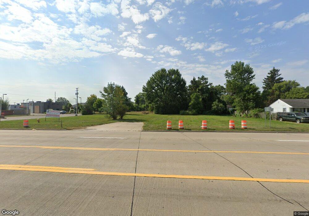
25314 21 Mile Rd Chesterfield, MI 48051
Estimated Value: $439,210
--
Bed
--
Bath
--
Sq Ft
1.3
Acres
About This Home
This home is located at 25314 21 Mile Rd, Chesterfield, MI 48051 and is currently estimated at $439,210. 25314 21 Mile Rd is a home located in Macomb County with nearby schools including Atwood Elementary School, L'Anse Creuse Middle School - North, and L'Anse Creuse High School - North.
Ownership History
Date
Name
Owned For
Owner Type
Purchase Details
Closed on
Feb 6, 2020
Sold by
Nader S Project 21 Llc
Bought by
The Eddie Jawad Family Llc
Current Estimated Value
Purchase Details
Closed on
Jan 2, 2017
Sold by
Jawad Eddie
Bought by
Jawad Eddie and Eddie Jaward Family Llc
Purchase Details
Closed on
Oct 24, 2007
Sold by
J & A Group Properties Llc
Bought by
Naders Project 21 Llc
Purchase Details
Closed on
Nov 2, 2005
Sold by
Jane Milodrowski Living Trust
Bought by
J & A Group Properties Llc
Create a Home Valuation Report for This Property
The Home Valuation Report is an in-depth analysis detailing your home's value as well as a comparison with similar homes in the area
Home Values in the Area
Average Home Value in this Area
Purchase History
| Date | Buyer | Sale Price | Title Company |
|---|---|---|---|
| The Eddie Jawad Family Llc | -- | None Available | |
| Jawad Eddie | -- | None Available | |
| Naders Project 21 Llc | -- | None Available | |
| J & A Group Properties Llc | $270,000 | None Available |
Source: Public Records
Tax History Compared to Growth
Tax History
| Year | Tax Paid | Tax Assessment Tax Assessment Total Assessment is a certain percentage of the fair market value that is determined by local assessors to be the total taxable value of land and additions on the property. | Land | Improvement |
|---|---|---|---|---|
| 2025 | $1,906 | $84,600 | $0 | $0 |
| 2024 | $1,509 | $84,600 | $0 | $0 |
| 2023 | $1,436 | $39,200 | $0 | $0 |
| 2022 | $1,729 | $36,900 | $0 | $0 |
| 2021 | $1,686 | $32,300 | $0 | $0 |
| 2020 | $1,340 | $32,300 | $0 | $0 |
| 2019 | $583 | $32,300 | $0 | $0 |
| 2018 | $598 | $12,500 | $0 | $0 |
| 2017 | $585 | $12,500 | $0 | $0 |
| 2016 | $583 | $12,500 | $0 | $0 |
| 2015 | $627 | $12,500 | $0 | $0 |
| 2014 | $627 | $11,200 | $11,200 | $0 |
| 2012 | -- | $0 | $0 | $0 |
Source: Public Records
Map
Nearby Homes
- 0 Gratiot Ave
- 6009 Gratiot Ave
- 25783 Rose St
- 25591 Lord Dr
- 24374 21 Mile Rd
- 46132 Royal Dr
- 45945 N Gratiot Ave
- 47215 Admirals Cove Ln Unit 17
- 26123 Joanne Smith Ln
- 26280 21 Mile Rd
- 24182 Pointe Dr
- 45937 Duke Dr
- 26323 Rosebriar Dr
- 46684 E Briarwood Dr Unit 145
- 46063 Pat St
- 47302 Joanne Smith Ln
- 45729 N Gratiot Ave
- 26112 Birchcrest Dr
- 46042 Pat St
- 26331 Wacker Dr
- 25140 21 Mile Rd
- 46912 Nursery St
- 46895 Gratiot Ave
- 47025 Gratiot Ave
- 25030 21 Mile Rd
- 46700 Gratiot Ave
- 25032 21 Mile Rd
- 47031 Gratiot Ave
- 0 Gratiot Unit 4252127
- 0 Gratiot Unit 4960134
- 0 Gratiot Unit 4656133
- 0 Gratiot Unit 5444555
- 25028 21 Mile Rd
- 47049 Gratiot Ave
- 46830 Nursery St
- 46829 Nursery St
- 46859 Nursery St
- 46889 Nursery St
- 46860 Nursery St
- 47073 Gratiot Ave