Estimated Value: $279,865 - $352,000
3
Beds
1
Bath
1,417
Sq Ft
$227/Sq Ft
Est. Value
About This Home
This home is located at 25320 W 247th St, Paola, KS 66071 and is currently estimated at $322,288, approximately $227 per square foot. 25320 W 247th St is a home located in Miami County with nearby schools including Cottonwood Elementary School, Sunflower Elementary School, and Paola Middle School.
Ownership History
Date
Name
Owned For
Owner Type
Purchase Details
Closed on
Jul 1, 2024
Sold by
Phipps Bradly Kent and Phipps Saphronia Kay
Bought by
Phipps Living Trust and Phipps
Current Estimated Value
Purchase Details
Closed on
May 19, 2016
Sold by
Miami County Sheriff
Bought by
Bank Of America
Purchase Details
Closed on
Feb 19, 2009
Sold by
Seyfert Josh and Seyfert Kristy
Bought by
Seyfert Josh and Seyfert Kristy
Purchase Details
Closed on
Jun 8, 2006
Sold by
Gibson Betty J
Bought by
Seyfert Josh
Home Financials for this Owner
Home Financials are based on the most recent Mortgage that was taken out on this home.
Original Mortgage
$155,312
Interest Rate
6.56%
Mortgage Type
FHA
Create a Home Valuation Report for This Property
The Home Valuation Report is an in-depth analysis detailing your home's value as well as a comparison with similar homes in the area
Home Values in the Area
Average Home Value in this Area
Purchase History
| Date | Buyer | Sale Price | Title Company |
|---|---|---|---|
| Phipps Living Trust | -- | None Listed On Document | |
| Bank Of America | $155,331 | -- | |
| Seyfert Josh | -- | Multiple | |
| Seyfert Josh | -- | Landmark Title Co Inc |
Source: Public Records
Mortgage History
| Date | Status | Borrower | Loan Amount |
|---|---|---|---|
| Previous Owner | Seyfert Josh | $155,312 |
Source: Public Records
Tax History Compared to Growth
Tax History
| Year | Tax Paid | Tax Assessment Tax Assessment Total Assessment is a certain percentage of the fair market value that is determined by local assessors to be the total taxable value of land and additions on the property. | Land | Improvement |
|---|---|---|---|---|
| 2025 | $2,291 | $28,637 | $9,003 | $19,634 |
| 2024 | $2,291 | $26,593 | $7,613 | $18,980 |
| 2023 | $2,073 | $25,727 | $7,268 | $18,459 |
| 2022 | $2,073 | $21,344 | $5,905 | $15,439 |
| 2021 | $969 | $0 | $0 | $0 |
| 2020 | $1,867 | $0 | $0 | $0 |
| 2019 | $1,563 | $0 | $0 | $0 |
| 2018 | $1,450 | $0 | $0 | $0 |
| 2017 | $0 | $0 | $0 | $0 |
| 2016 | -- | $0 | $0 | $0 |
| 2015 | -- | $0 | $0 | $0 |
| 2014 | -- | $0 | $0 | $0 |
| 2013 | -- | $0 | $0 | $0 |
Source: Public Records
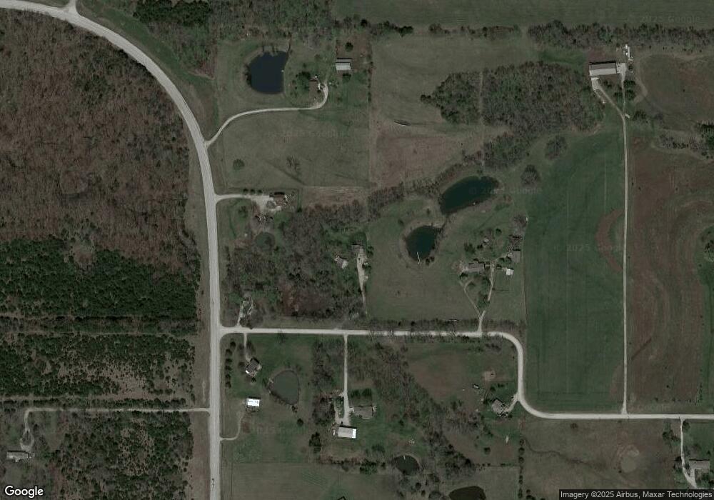
Map
Nearby Homes
- 24650 Hospital Dr
- 25345 Harmony Rd
- 0 Hospital Drive 61 74 Dr
- 0 Hospital Drive 13 77 Dr
- 23178 W 239th St
- 23224 S Cedar Niles Rd
- 404 Lincoln St
- 23775 Old Kansas City Rd
- W W 247th St
- 255th & Edgemore St
- 0 W 255th St Unit HMS2549206
- 0 W 255th St Unit 14051255
- 22750 S Moonlight Rd
- 0 Lone Elm Rd
- 23303 S Hickory Ct
- 30178 W 231st St
- 22300 Moonlight Rd
- 26949 Moonlight Rd
- 25987 W 215th St
- 30837 W 231st St
- 25476 W 247th St
- 25166 W 247th St
- 25465 W 247th St
- 25345 W 247th St
- 24535 Harmony Rd
- 25125 W 247th St
- 24779 Harmony Rd
- 24821 Harmony Rd
- 24377 Harmony Rd
- 24850 W 247th St
- 25745 W 247th St
- 24849 W 247th St
- 24820 W 247th St
- 24795 Harmony Rd
- 25762 W 249th Terrace
- 24920 Harmony Rd
- 25550 W 249th Terrace
- 25761 W 249th Terrace
- 25705 W 249th Terrace
- 25515 W 249th Terrace