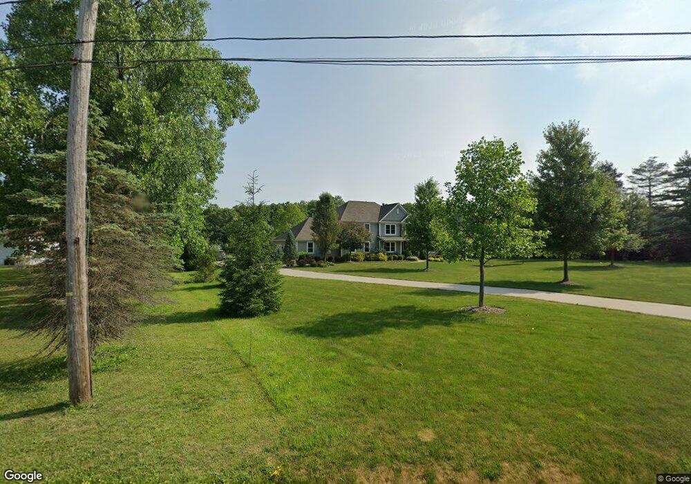
2533 Barlow Rd Hudson, OH 44236
Estimated Value: $590,000 - $854,560
4
Beds
4
Baths
3,177
Sq Ft
$216/Sq Ft
Est. Value
About This Home
This home is located at 2533 Barlow Rd, Hudson, OH 44236 and is currently estimated at $685,640, approximately $215 per square foot. 2533 Barlow Rd is a home with nearby schools including Ellsworth Hill Elementary School, East Woods Intermediate School, and Hudson Middle School.
Ownership History
Date
Name
Owned For
Owner Type
Purchase Details
Closed on
Dec 6, 2013
Sold by
Bohon Gordon Curtis and Bohon Nancy B
Bought by
Botosan Bill and Botosan Rosemary
Current Estimated Value
Home Financials for this Owner
Home Financials are based on the most recent Mortgage that was taken out on this home.
Original Mortgage
$34,250
Outstanding Balance
$11,323
Interest Rate
4%
Mortgage Type
Construction
Estimated Equity
$674,317
Purchase Details
Closed on
Feb 13, 2012
Sold by
Estate Of Lyle W Bohon
Bought by
Bohon Gordon Curtis and Shannon Lyla Jane
Create a Home Valuation Report for This Property
The Home Valuation Report is an in-depth analysis detailing your home's value as well as a comparison with similar homes in the area
Home Values in the Area
Average Home Value in this Area
Purchase History
| Date | Buyer | Sale Price | Title Company |
|---|---|---|---|
| Botosan Bill | $59,500 | Kingdom Title | |
| Bohon Gordon Curtis | -- | Attorney |
Source: Public Records
Mortgage History
| Date | Status | Borrower | Loan Amount |
|---|---|---|---|
| Open | Botosan Bill | $34,250 |
Source: Public Records
Tax History
| Year | Tax Paid | Tax Assessment Tax Assessment Total Assessment is a certain percentage of the fair market value that is determined by local assessors to be the total taxable value of land and additions on the property. | Land | Improvement |
|---|---|---|---|---|
| 2024 | $12,295 | $240,573 | $31,910 | $208,663 |
| 2023 | $12,295 | $240,573 | $31,910 | $208,663 |
| 2022 | $9,153 | $159,251 | $22,313 | $136,938 |
| 2021 | $9,168 | $159,251 | $22,313 | $136,938 |
| 2020 | $9,263 | $163,850 | $22,310 | $141,540 |
| 2019 | $7,163 | $116,710 | $19,120 | $97,590 |
| 2018 | $7,138 | $116,710 | $19,120 | $97,590 |
| 2017 | $6,935 | $116,710 | $19,120 | $97,590 |
| 2016 | $6,984 | $110,220 | $16,070 | $94,150 |
| 2015 | $6,935 | $110,220 | $16,070 | $94,150 |
| 2014 | $1,160 | $16,070 | $16,070 | $0 |
| 2013 | $1,185 | $16,070 | $16,070 | $0 |
Source: Public Records
Map
Nearby Homes
- 5518 Pond Ct
- 5361 Diana Lynn Dr
- 1995 Weston Dr
- 5163 Beckett Ridge
- 5150 Bayside Lake Blvd
- V/L Norton Rd
- 5091 Ridge Meadow Dr
- 2353 W Hale Dr
- 2221 Crockett Cir
- 5866 Ogilby Dr
- 5123 Sodalite Dr
- 2352 Becket Cir
- 2279 Becket Cir
- 1525 Spruce Hill Dr
- 4623 Cox Dr
- 4534 Foresthill Rd
- 4424 Timberdale Dr Unit 4428
- 2344 Echo Valley Dr
- 0 Hibbard Dr
- 4556 Fishcreek Rd
- 2507 Barlow Rd
- 2491 Barlow Rd
- 2555 Barlow Rd
- 2471 Barlow Rd
- 2512 Barlow Rd
- 2496 Barlow Rd
- 2591 Barlow Rd
- 2546 Barlow Rd
- 2536 Barlow Rd
- 2461 Barlow Rd
- 2466 Barlow Rd
- 2595 Barlow Rd
- 5728 Young Rd
- 5674 Humelsine Dr
- 2421 Barlow Rd
- 5718 Young Rd
- 5666 Humelsine Dr
- 2617 Barlow Rd
- 5659 Humelsine Dr
- 5706 Young Rd
Your Personal Tour Guide
Ask me questions while you tour the home.