2534 122nd Ave NE Spicer, MN 56288
Estimated Value: $545,000 - $687,551
5
Beds
4
Baths
4,500
Sq Ft
$137/Sq Ft
Est. Value
About This Home
This home is located at 2534 122nd Ave NE, Spicer, MN 56288 and is currently estimated at $616,184, approximately $136 per square foot. 2534 122nd Ave NE is a home located in Kandiyohi County with nearby schools including Prairie Woods Elementary School, New London-Spicer Middle School, and New London-Spicer Senior High School.
Ownership History
Date
Name
Owned For
Owner Type
Purchase Details
Closed on
Oct 20, 2023
Sold by
Halverson Debra
Bought by
Hansen Melvin
Current Estimated Value
Purchase Details
Closed on
Jul 7, 2017
Purchase Details
Closed on
May 9, 2017
Sold by
Halverson Debra D
Bought by
State Of Minnesota
Purchase Details
Closed on
Feb 8, 2007
Sold by
Christensen Luella
Bought by
Halverson Debra D
Purchase Details
Closed on
Nov 10, 2006
Sold by
Merritt Alan Clark
Bought by
Halverson Debra D
Create a Home Valuation Report for This Property
The Home Valuation Report is an in-depth analysis detailing your home's value as well as a comparison with similar homes in the area
Home Values in the Area
Average Home Value in this Area
Purchase History
| Date | Buyer | Sale Price | Title Company |
|---|---|---|---|
| Hansen Melvin | $65,000 | -- | |
| -- | -- | -- | |
| State Of Minnesota | $30,400 | -- | |
| Halverson Debra D | $12,000 | None Available | |
| Halverson Debra D | -- | None Available |
Source: Public Records
Tax History Compared to Growth
Tax History
| Year | Tax Paid | Tax Assessment Tax Assessment Total Assessment is a certain percentage of the fair market value that is determined by local assessors to be the total taxable value of land and additions on the property. | Land | Improvement |
|---|---|---|---|---|
| 2025 | $5,890 | $626,500 | $71,600 | $554,900 |
| 2024 | $5,728 | $548,300 | $61,600 | $486,700 |
| 2023 | $5,392 | $545,700 | $69,100 | $476,600 |
| 2022 | $5,582 | $515,100 | $69,100 | $446,000 |
| 2021 | $4,546 | $459,900 | $62,800 | $397,100 |
| 2020 | $4,490 | $410,000 | $66,700 | $343,300 |
| 2019 | $3,238 | $403,800 | $66,700 | $337,100 |
| 2018 | $2,254 | $296,000 | $62,700 | $233,300 |
| 2017 | $200 | $204,700 | $57,900 | $146,800 |
| 2016 | $138 | $218 | $0 | $0 |
| 2015 | -- | $0 | $0 | $0 |
| 2014 | -- | $0 | $0 | $0 |
Source: Public Records
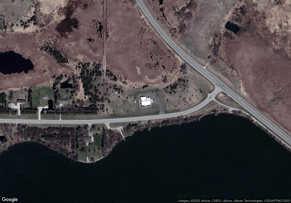
Map
Nearby Homes
- 10957 Highway 71 NE
- 4316 133rd Ave NE
- 4808 132nd Ave NE Unit 25
- 5078 132nd Ave NE
- 311 131st Ave NE
- 13112 2nd St NE
- 5288 132nd Ave NE Unit C7
- 5288 (R22) 53rd St NE
- 5288 (R24) 53rd St NE
- 5272 (R26) 53rd St NE
- 5288 (R19) 53rd St NE
- 13205 (R17) 53rd St NE
- 5288 (R23) 53rd St NE
- 4539 141st Ave NE
- 1245 137th Ave NW
- 6844 140th Ave NE
- 621 Loretta Cir
- 3091 77th Ave NE
- 403 Miller St
- 7641 Long Lake Rd
- - NE 122 Ave
- 2433 122nd Ave NE
- 2398 122nd Ave NE
- 10073 W 1st St
- 2312 122nd Ave NE
- xx NE 21 St
- Lot 5 Highway 71 NE
- 2254 122nd Ave NE
- 2186 122nd Ave NE
- 12197 21st St NE
- 12131 21st St NE
- Xxx 21st St NE
- 12071 21st St NE
- 11975 21st St NE
- 11941 21st St NE
- 0 N Hwy 71 Unit 3458051
- 0 N Hwy 71 Unit 3458070
- 0 N Hwy 71 Unit 5153615
- 0 N Hwy 71 Unit 5153302
- xxx 122nd Ave NE