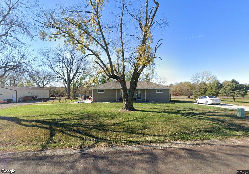
25341 171st St Leavenworth, KS 66048
Estimated Value: $320,988 - $426,000
3
Beds
1
Bath
1,320
Sq Ft
$289/Sq Ft
Est. Value
About This Home
This home is located at 25341 171st St, Leavenworth, KS 66048 and is currently estimated at $381,663, approximately $289 per square foot. 25341 171st St is a home located in Leavenworth County with nearby schools including Lansing Elementary School, Lansing Middle 6-8, and Lansing High 9-12.
Ownership History
Date
Name
Owned For
Owner Type
Purchase Details
Closed on
Dec 17, 2020
Sold by
Grayson English Cheyenne
Bought by
Sample Cheyenne G and Sample Chase M
Current Estimated Value
Purchase Details
Closed on
Aug 29, 2019
Sold by
English Chad T and English Shannon L
Bought by
English Cheyenne Grayson
Home Financials for this Owner
Home Financials are based on the most recent Mortgage that was taken out on this home.
Original Mortgage
$99,900
Interest Rate
3.7%
Mortgage Type
New Conventional
Create a Home Valuation Report for This Property
The Home Valuation Report is an in-depth analysis detailing your home's value as well as a comparison with similar homes in the area
Home Values in the Area
Average Home Value in this Area
Purchase History
| Date | Buyer | Sale Price | Title Company |
|---|---|---|---|
| Sample Cheyenne G | -- | None Listed On Document | |
| English Cheyenne Grayson | -- | New Title Company Name |
Source: Public Records
Mortgage History
| Date | Status | Borrower | Loan Amount |
|---|---|---|---|
| Previous Owner | English Cheyenne Grayson | $99,900 |
Source: Public Records
Tax History Compared to Growth
Tax History
| Year | Tax Paid | Tax Assessment Tax Assessment Total Assessment is a certain percentage of the fair market value that is determined by local assessors to be the total taxable value of land and additions on the property. | Land | Improvement |
|---|---|---|---|---|
| 2025 | $3,822 | $34,893 | $6,225 | $28,668 |
| 2024 | $3,649 | $34,059 | $5,945 | $28,114 |
| 2023 | $3,649 | $33,838 | $5,939 | $27,899 |
| 2022 | $3,228 | $28,973 | $5,366 | $23,607 |
| 2021 | $2,764 | $24,429 | $4,449 | $19,980 |
| 2020 | $2,200 | $19,212 | $4,290 | $14,922 |
| 2019 | $2,095 | $18,274 | $3,918 | $14,356 |
| 2018 | $1,874 | $16,392 | $2,962 | $13,430 |
| 2017 | $1,748 | $15,263 | $2,714 | $12,549 |
| 2016 | $1,729 | $15,125 | $2,657 | $12,468 |
| 2015 | $1,613 | $14,189 | $2,621 | $11,568 |
| 2014 | $1,591 | $14,251 | $2,466 | $11,785 |
Source: Public Records
Map
Nearby Homes
- 25770 Tonganoxie Dr
- 25030 177th Terrace
- 16430 Dana Ln
- 25055 Woodridge Cir
- 17860 Clearview Dr
- Lot 6 163rd St
- 24450 171st St
- 00000 Gilman Rd
- 17739 Eisenhower Rd
- 26277 187th St
- 17096 Eisenhower Rd
- 0000 Eisenhower Rd
- 16055 W Eisenhower Rd
- 15915 Eisenhower Rd
- 1221 S Desoto Rd
- 000 4-H Rd
- 00000 Michals Rd
- 2151 Shenandoah Dr
- 833 Rock Creek Dr
- 1605 Shadow Dr
- 25281 171st St
- 25392 171st St
- 25312 171st St
- 25290 171st St
- 25382 171st St
- 25455 171st St
- 17070 Gilman Rd
- 25530 Tonganoxie Dr
- 16930 Gilman Rd
- 17159 4h Rd
- 25488 Tonganoxie Rd
- 00000 Tonganoxie Dr
- 25103 171st St
- 25442 Tonganoxie Rd
- 25310 Tonganoxie Rd
- 25501 Tonganoxie Rd
- 25420 Tonganoxie Rd
- 00000 171st St
- 25602 171st St
- 25461 Tonganoxie Dr