2534B Old Frederick Rd Catonsville, MD 21228
Estimated Value: $594,000 - $703,000
--
Bed
--
Bath
1,896
Sq Ft
$332/Sq Ft
Est. Value
About This Home
This home is located at 2534B Old Frederick Rd, Catonsville, MD 21228 and is currently estimated at $628,659, approximately $331 per square foot. 2534B Old Frederick Rd is a home located in Baltimore County with nearby schools including Westchester Elementary School, Catonsville Middle School, and Catonsville High School.
Ownership History
Date
Name
Owned For
Owner Type
Purchase Details
Closed on
Dec 4, 2024
Sold by
Spann Michael D
Bought by
Michael D Spann Sr Living Trust and Spann
Current Estimated Value
Purchase Details
Closed on
Jan 20, 2011
Sold by
Spann Michael D and Spann Michael D
Bought by
Mewshaw Christina and Spann Michael
Purchase Details
Closed on
Jan 23, 1992
Sold by
Bryant Rebecca A
Bought by
Spann Michael D
Create a Home Valuation Report for This Property
The Home Valuation Report is an in-depth analysis detailing your home's value as well as a comparison with similar homes in the area
Home Values in the Area
Average Home Value in this Area
Purchase History
| Date | Buyer | Sale Price | Title Company |
|---|---|---|---|
| Michael D Spann Sr Living Trust | -- | None Listed On Document | |
| Michael D Spann Sr Living Trust | -- | None Listed On Document | |
| Mewshaw Christina | -- | None Available | |
| Spann Michael D | $56,000 | -- |
Source: Public Records
Tax History Compared to Growth
Tax History
| Year | Tax Paid | Tax Assessment Tax Assessment Total Assessment is a certain percentage of the fair market value that is determined by local assessors to be the total taxable value of land and additions on the property. | Land | Improvement |
|---|---|---|---|---|
| 2025 | $6,117 | $547,033 | -- | -- |
| 2024 | $6,117 | $519,800 | $135,600 | $384,200 |
| 2023 | $2,898 | $513,400 | $0 | $0 |
| 2022 | $5,539 | $507,000 | $0 | $0 |
| 2021 | $5,198 | $500,600 | $135,600 | $365,000 |
| 2020 | $5,198 | $466,633 | $0 | $0 |
| 2019 | $5,078 | $432,667 | $0 | $0 |
| 2018 | $5,005 | $398,700 | $95,600 | $303,100 |
| 2017 | $4,904 | $382,367 | $0 | $0 |
| 2016 | $3,785 | $366,033 | $0 | $0 |
| 2015 | $3,785 | $349,700 | $0 | $0 |
| 2014 | $3,785 | $349,700 | $0 | $0 |
Source: Public Records
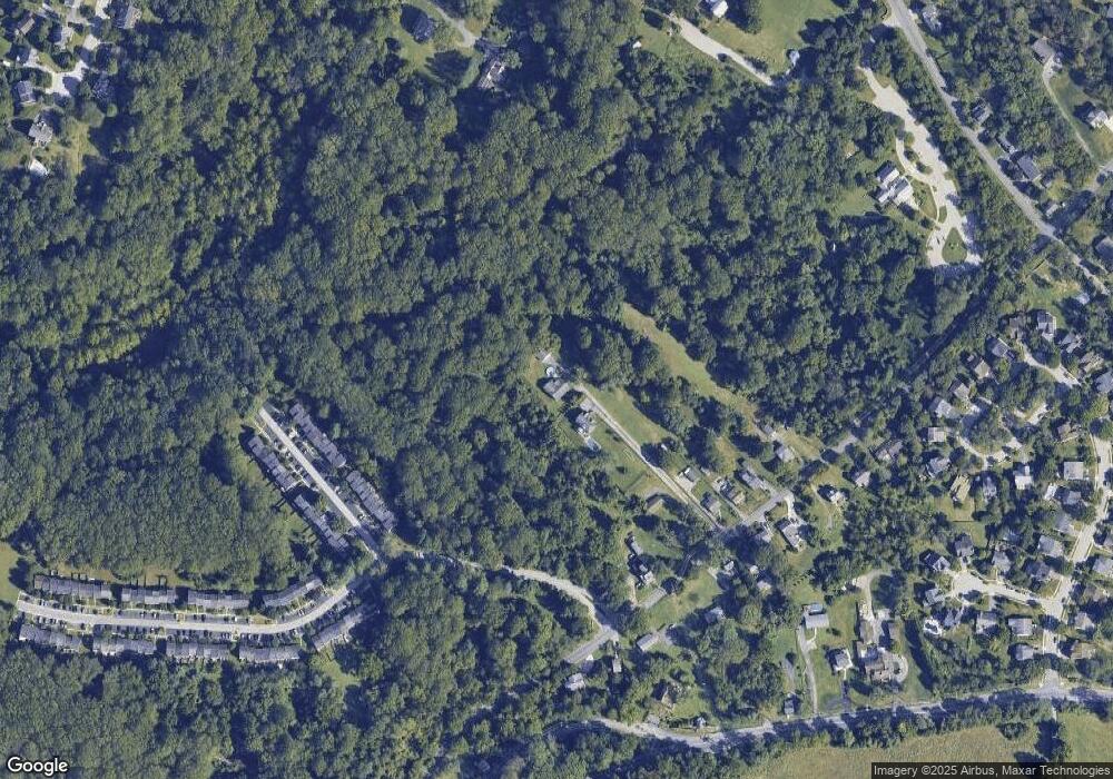
Map
Nearby Homes
- 2621 Westchester Ave
- 311 Radstock Rd
- 720 Mary Jo Way
- 19 Clay Lodge Ln Unit 104
- 11 Clay Lodge Ln Unit 204
- 302 Wessling Cir
- 2310 Rockwell Ave
- 231 Gralan Rd
- 2305 Rockwell Ave
- 2110 Edmondson Ave
- 8260 Stone Crop Dr Unit E
- 8135 Cyprus Cedar Ln Unit K
- 8115 Yellow Pine Dr Unit L
- 8125 Hickory High Ct Unit L
- 8412 Merryman St
- 3598 Fels Ln
- 9794 Blue Ivy Way
- 627 Meyers Dr
- 627 Meyers Dr Unit PARCEL 108
- 4425 Prancing Deer Dr
- 2534 Old Frederick Rd Unit A
- 2534 Old Frederick Rd Unit B
- 2534A Old Frederick Rd
- 2536 Old Frederick Rd
- 2532 Old Frederick Rd
- 7 Benway Ct
- 5 Benway Ct
- 9 Benway Ct
- 3 Benway Ct
- 11 Benway Ct
- 13 Benway Ct
- 1 Benway Ct
- 15 Benway Ct
- 17 Benway Ct
- 19 Benway Ct
- 2540 Old Frederick Rd
- 21 Benway Ct
- 2530 Old Frederick Rd
- 23 Benway Ct
- 25 Benway Ct