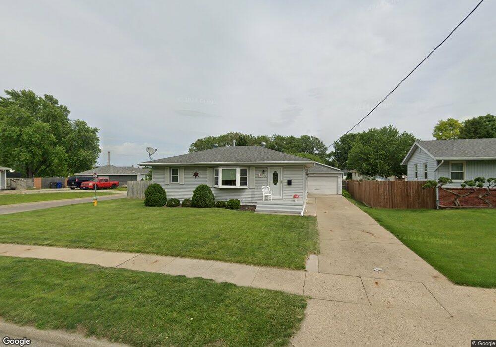
2535 Sampson St Des Moines, IA 50316
Union Park NeighborhoodEstimated Value: $210,000 - $219,000
3
Beds
1
Bath
936
Sq Ft
$229/Sq Ft
Est. Value
About This Home
This home is located at 2535 Sampson St, Des Moines, IA 50316 and is currently estimated at $214,131, approximately $228 per square foot. 2535 Sampson St is a home located in Polk County with nearby schools including Cattell Elementary School, Goodrell Middle School, and North High School.
Ownership History
Date
Name
Owned For
Owner Type
Purchase Details
Closed on
Dec 20, 2011
Sold by
Gustafson Frank and Gustafson Sheri L
Bought by
Howard Rebecca W
Current Estimated Value
Purchase Details
Closed on
Jul 28, 2004
Sold by
Deutsche Bank National Trust Co
Bought by
Quad M Inc
Purchase Details
Closed on
Mar 25, 2004
Sold by
Welbourn Gregory Lee and Welbourn Kimberly S
Bought by
Bankers Trust Co Of California Na
Purchase Details
Closed on
Aug 18, 2000
Sold by
Welbourn Gregory Lee and Welbourn Kimberly S
Bought by
Welbourn Gregory Lee and Welbourn Kimberly S
Home Financials for this Owner
Home Financials are based on the most recent Mortgage that was taken out on this home.
Original Mortgage
$32,800
Interest Rate
8.12%
Mortgage Type
Stand Alone Second
Create a Home Valuation Report for This Property
The Home Valuation Report is an in-depth analysis detailing your home's value as well as a comparison with similar homes in the area
Home Values in the Area
Average Home Value in this Area
Purchase History
| Date | Buyer | Sale Price | Title Company |
|---|---|---|---|
| Howard Rebecca W | $109,500 | None Available | |
| Quad M Inc | $75,500 | -- | |
| Bankers Trust Co Of California Na | $89,648 | -- | |
| Welbourn Gregory Lee | -- | Assured Quality Title Compan |
Source: Public Records
Mortgage History
| Date | Status | Borrower | Loan Amount |
|---|---|---|---|
| Previous Owner | Welbourn Gregory Lee | $32,800 |
Source: Public Records
Tax History Compared to Growth
Tax History
| Year | Tax Paid | Tax Assessment Tax Assessment Total Assessment is a certain percentage of the fair market value that is determined by local assessors to be the total taxable value of land and additions on the property. | Land | Improvement |
|---|---|---|---|---|
| 2024 | $3,438 | $192,200 | $23,700 | $168,500 |
| 2023 | $3,432 | $192,200 | $23,700 | $168,500 |
| 2022 | $3,404 | $154,500 | $19,800 | $134,700 |
| 2021 | $3,166 | $154,500 | $19,800 | $134,700 |
| 2020 | $3,284 | $135,500 | $17,300 | $118,200 |
| 2019 | $3,240 | $135,500 | $17,300 | $118,200 |
| 2018 | $3,202 | $129,100 | $16,100 | $113,000 |
| 2017 | $2,974 | $129,100 | $16,100 | $113,000 |
| 2016 | $2,892 | $118,500 | $14,500 | $104,000 |
| 2015 | $2,892 | $118,500 | $14,500 | $104,000 |
| 2014 | $2,976 | $120,700 | $14,500 | $106,200 |
Source: Public Records
Map
Nearby Homes
- 2517 Sampson St
- 2529 Glenbrook Dr
- 2706 E 16th St
- 1617 Guthrie Ave
- 1432 Royer St
- 1514 Guthrie Ave
- 1424 Milton Ave
- 1602 Wilson Ave
- 1422 Hull Ave
- 1520 E Tiffin Ave
- 1332 E Sheridan Ave
- 1424 Richmond Ave
- 1530 Mattern Ave
- 1428 E Tiffin Ave
- 1443 Wilson Ave
- 2336 E 13th St
- 1434 Mattern Ave
- 1526 E Jefferson Ave
- 1109 E Sheridan Ave
- 1427 Mattern Ave
- 2531 Sampson St
- 2536 Glenbrook Dr
- 2601 Sampson St
- 2530 Glenbrook Dr
- 2526 Glenbrook Dr
- 2532 Sampson St
- 2607 Sampson St
- 1690 E Sheridan Ave
- 2513 Sampson St
- 2600 Sampson St
- 2526 Sampson St
- 2520 Glenbrook Dr
- 2604 Sampson St
- 2611 Sampson St
- 2520 Sampson St
- 2509 Sampson St
- 2514 Glenbrook Dr
- 2608 Sampson St
- 2535 Glenbrook Dr
- 2514 Sampson St