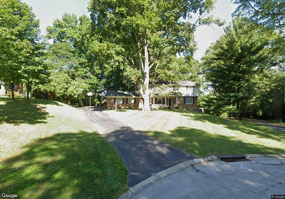
2537 Elmdale Dr Cincinnati, OH 45230
Mount Washington NeighborhoodEstimated Value: $352,000 - $384,000
4
Beds
3
Baths
2,484
Sq Ft
$150/Sq Ft
Est. Value
About This Home
This home is located at 2537 Elmdale Dr, Cincinnati, OH 45230 and is currently estimated at $371,872, approximately $149 per square foot. 2537 Elmdale Dr is a home located in Hamilton County with nearby schools including Mt. Washington Elementary School, Clark Montessori High School, and Shroder High School.
Ownership History
Date
Name
Owned For
Owner Type
Purchase Details
Closed on
Jun 27, 1996
Sold by
Prats Harry J and Prats Ellen S
Bought by
Sanders Harry J and Sanders Cheryl L
Current Estimated Value
Home Financials for this Owner
Home Financials are based on the most recent Mortgage that was taken out on this home.
Original Mortgage
$116,100
Interest Rate
8.07%
Create a Home Valuation Report for This Property
The Home Valuation Report is an in-depth analysis detailing your home's value as well as a comparison with similar homes in the area
Home Values in the Area
Average Home Value in this Area
Purchase History
| Date | Buyer | Sale Price | Title Company |
|---|---|---|---|
| Sanders Harry J | $129,000 | -- |
Source: Public Records
Mortgage History
| Date | Status | Borrower | Loan Amount |
|---|---|---|---|
| Closed | Sanders Harry J | $116,100 |
Source: Public Records
Tax History
| Year | Tax Paid | Tax Assessment Tax Assessment Total Assessment is a certain percentage of the fair market value that is determined by local assessors to be the total taxable value of land and additions on the property. | Land | Improvement |
|---|---|---|---|---|
| 2025 | $5,348 | $97,006 | $13,720 | $83,286 |
| 2024 | $5,189 | $97,006 | $13,720 | $83,286 |
| 2023 | $5,358 | $97,006 | $13,720 | $83,286 |
| 2022 | $4,686 | $77,641 | $11,172 | $66,469 |
| 2021 | $4,497 | $77,641 | $11,172 | $66,469 |
| 2020 | $4,645 | $77,641 | $11,172 | $66,469 |
| 2019 | $4,371 | $68,107 | $9,800 | $58,307 |
| 2018 | $4,379 | $68,107 | $9,800 | $58,307 |
| 2017 | $4,152 | $68,107 | $9,800 | $58,307 |
| 2016 | $4,006 | $65,328 | $9,800 | $55,528 |
| 2015 | $3,619 | $65,328 | $9,800 | $55,528 |
| 2014 | $4,221 | $65,328 | $9,800 | $55,528 |
| 2013 | $4,295 | $65,328 | $9,800 | $55,528 |
Source: Public Records
Map
Nearby Homes
- 5459 Hanover Cir
- 2605 Bonnie Dr
- 2779 Redfield Place
- 5327 Reserve Cir
- 6050 Bagdad Dr
- 6253 Sturdy Ave
- 2121 Sutton Ave
- 2111 Sutton Ave
- 2127 Oxford Ave Unit 10
- 1944 Rockland Ave
- 6258 Benneville St
- 1741 Mears Ave
- 1776 Wilaray Terrace
- 6362 Stirrup Rd
- 6123 Cambridge Ave
- 2669 Newtown Rd
- 255 St Peters St
- 257 St Peters St
- 1630 Dell Terrace
- 1190 Linden Hill Ln
- 2539 Elmdale Dr
- 2525 Elmdale Dr
- 5442 Wasigo Dr
- 5436 Wasigo Dr
- 2515 Elmdale Dr
- 5450 Wasigo Dr
- 2548 Elmdale Dr
- 5430 Wasigo Dr
- 3505 Wasigo Dr
- 2536 Elmdale Dr
- 2524 Elmdale Dr
- 5460 Wasigo Dr
- 5437 Wasigo Dr
- 2514 Elmdale Dr
- 5502 Wasigo Dr
- 5391 Beechmont Ave
- 5443 Wasigo Dr
- 5496 Wasigo Dr
- 5510 Wasigo Dr
- 2545 Ranchvale Dr
Your Personal Tour Guide
Ask me questions while you tour the home.