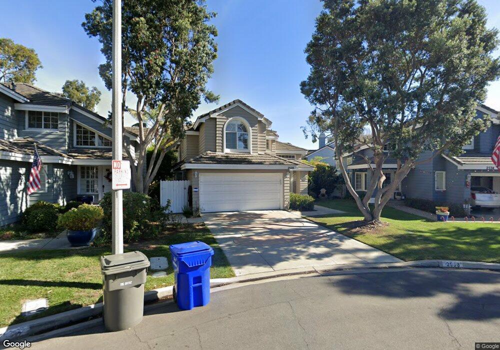
2538 Oceanmist Ct Port Hueneme, CA 93041
Estimated Value: $869,000 - $952,848
4
Beds
3
Baths
2,442
Sq Ft
$369/Sq Ft
Est. Value
About This Home
This home is located at 2538 Oceanmist Ct, Port Hueneme, CA 93041 and is currently estimated at $901,712, approximately $369 per square foot. 2538 Oceanmist Ct is a home located in Ventura County with nearby schools including Marina West Elementary School, Oxnard High School, and St. Anthony's Elementary School.
Ownership History
Date
Name
Owned For
Owner Type
Purchase Details
Closed on
Aug 29, 2007
Sold by
Paulin Leonard L and Paulin Diane M
Bought by
Paulin Leonard L and Paulin Diane M
Current Estimated Value
Purchase Details
Closed on
Dec 17, 1998
Sold by
State Street Bank & Trust
Bought by
Paulin Leonard L and Paulin Diane M
Home Financials for this Owner
Home Financials are based on the most recent Mortgage that was taken out on this home.
Original Mortgage
$238,200
Outstanding Balance
$53,035
Interest Rate
6.55%
Estimated Equity
$848,677
Purchase Details
Closed on
Nov 13, 1998
Sold by
Monak Gary P
Bought by
State Street Bank & Trust
Home Financials for this Owner
Home Financials are based on the most recent Mortgage that was taken out on this home.
Original Mortgage
$238,200
Outstanding Balance
$53,035
Interest Rate
6.55%
Estimated Equity
$848,677
Purchase Details
Closed on
Jun 17, 1997
Sold by
Monak Gary P
Bought by
Monak Gary P and Monak Gretchen
Create a Home Valuation Report for This Property
The Home Valuation Report is an in-depth analysis detailing your home's value as well as a comparison with similar homes in the area
Home Values in the Area
Average Home Value in this Area
Purchase History
| Date | Buyer | Sale Price | Title Company |
|---|---|---|---|
| Paulin Leonard L | -- | None Available | |
| Paulin Leonard L | $265,000 | American Title Co | |
| State Street Bank & Trust | $216,000 | Fidelity National Title | |
| Monak Gary P | -- | -- |
Source: Public Records
Mortgage History
| Date | Status | Borrower | Loan Amount |
|---|---|---|---|
| Open | Paulin Leonard L | $238,200 |
Source: Public Records
Tax History Compared to Growth
Tax History
| Year | Tax Paid | Tax Assessment Tax Assessment Total Assessment is a certain percentage of the fair market value that is determined by local assessors to be the total taxable value of land and additions on the property. | Land | Improvement |
|---|---|---|---|---|
| 2025 | $2,060 | $173,833 | $59,293 | $114,540 |
| 2024 | $2,060 | $170,425 | $58,130 | $112,295 |
| 2023 | $2,004 | $167,084 | $56,990 | $110,094 |
| 2022 | $1,929 | $163,808 | $55,872 | $107,936 |
| 2021 | $1,889 | $160,597 | $54,777 | $105,820 |
| 2020 | $1,866 | $158,952 | $54,216 | $104,736 |
| 2019 | $1,843 | $155,836 | $53,153 | $102,683 |
| 2018 | $1,824 | $152,781 | $52,111 | $100,670 |
| 2017 | $1,725 | $149,787 | $51,090 | $98,697 |
| 2016 | $1,695 | $146,851 | $50,089 | $96,762 |
| 2015 | $1,645 | $144,647 | $49,338 | $95,309 |
| 2014 | $1,640 | $141,815 | $48,372 | $93,443 |
Source: Public Records
Map
Nearby Homes
- 541 Broderick Way
- 2633 Barnacle Cove
- 676 Pacific Cove Dr
- 422 Las Palomas Dr
- 438 Las Palomas Dr
- 426 Reed Way
- 2622 Captains Ave
- 469 Corvette St
- 701 Halyard St
- 3610 Isle Way
- 3644 Islander Walk
- 2755 Bolker Dr Unit A
- 2431 Victoria Ave
- 2732 Bolker Dr
- 2466 Bolker Dr
- 2456 Bolker Dr
- 2754 Bolker Dr
- 225 W Channel Islands Blvd
- 2230 Monaco Dr
- 2524 Monaco Dr
- 2534 Oceanmist Ct
- 2546 Oceanmist Ct
- 2530 Oceanmist Ct
- 541 Pacific Cove Dr
- 2537 Seamist Ct
- 2541 Seamist Ct
- 537 Pacific Cove Dr
- 2529 Seamist Ct
- 2553 Mariner Cove
- 2535 Oceanmist Ct
- 2552 Mariner Cove
- 531 Pacific Cove Dr
- 2557 Mariner Cove
- 2554 Pirate Cove
- 2519 Seafoam Ct
- 2556 Mariner Cove
- 2561 Mariner Cove
- 2558 Pirate Cove
- 527 Pacific Cove Dr
- 565 Pacific Cove Dr