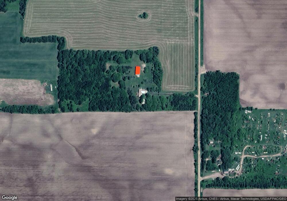
25397 530th Ave Henning, MN 56551
Estimated Value: $364,000 - $403,357
--
Bed
--
Bath
1,568
Sq Ft
$249/Sq Ft
Est. Value
About This Home
This home is located at 25397 530th Ave, Henning, MN 56551 and is currently estimated at $389,786, approximately $248 per square foot. 25397 530th Ave is a home with nearby schools including Henning Elementary School.
Create a Home Valuation Report for This Property
The Home Valuation Report is an in-depth analysis detailing your home's value as well as a comparison with similar homes in the area
Home Values in the Area
Average Home Value in this Area
Tax History Compared to Growth
Tax History
| Year | Tax Paid | Tax Assessment Tax Assessment Total Assessment is a certain percentage of the fair market value that is determined by local assessors to be the total taxable value of land and additions on the property. | Land | Improvement |
|---|---|---|---|---|
| 2025 | $1,926 | $391,100 | $75,600 | $315,500 |
| 2024 | $1,554 | $361,600 | $70,600 | $291,000 |
| 2023 | $1,634 | $309,500 | $54,600 | $254,900 |
| 2022 | $1,650 | $163,400 | $0 | $0 |
| 2021 | $2,112 | $309,500 | $54,600 | $254,900 |
| 2020 | $2,144 | $262,400 | $38,800 | $223,600 |
| 2019 | $1,978 | $244,700 | $37,700 | $207,000 |
| 2018 | $1,914 | $244,700 | $37,700 | $207,000 |
| 2017 | $1,352 | $226,700 | $37,800 | $188,900 |
| 2016 | $1,168 | $206,300 | $36,000 | $170,300 |
| 2015 | $1,304 | $0 | $0 | $0 |
| 2014 | -- | $216,000 | $49,900 | $166,100 |
Source: Public Records
Map
Nearby Homes
- T134-R37 SEC.30 / Hwy 67
- 715 Holden Ave
- 701 Douglas Ave
- 42502 240th St
- 215 Marshall Ave
- 703 2nd St
- 110 Poulson Ave
- Xxxxx Old 67 Rd
- 23304 Minnesota 29
- 30169 513th Ave
- 301xx 513th Ave
- 315XX Leaf River Road Tract B
- 213 Baker St
- 221 Baker St
- 315XX Leaf River Road Tract C
- 49459 300th St
- 26350 County Highway 61
- Tbd Co 52
- 59527 235th St
- x Leaf River Rd