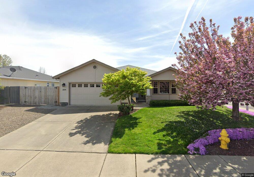
254 Applewood Dr Central Point, OR 97502
Estimated Value: $420,000 - $456,568
3
Beds
2
Baths
1,640
Sq Ft
$266/Sq Ft
Est. Value
About This Home
This home is located at 254 Applewood Dr, Central Point, OR 97502 and is currently estimated at $436,642, approximately $266 per square foot. 254 Applewood Dr is a home located in Jackson County with nearby schools including Jewett Elementary School, Scenic Middle School, and Crater High School.
Ownership History
Date
Name
Owned For
Owner Type
Purchase Details
Closed on
May 24, 2022
Sold by
Bouchard Vicki J
Bought by
Vicki J Bouchard Living Trust
Current Estimated Value
Purchase Details
Closed on
Jan 24, 2002
Sold by
Pactrend Inc
Bought by
Bouchard Vicki J
Home Financials for this Owner
Home Financials are based on the most recent Mortgage that was taken out on this home.
Original Mortgage
$83,900
Interest Rate
7.13%
Create a Home Valuation Report for This Property
The Home Valuation Report is an in-depth analysis detailing your home's value as well as a comparison with similar homes in the area
Home Values in the Area
Average Home Value in this Area
Purchase History
| Date | Buyer | Sale Price | Title Company |
|---|---|---|---|
| Vicki J Bouchard Living Trust | -- | None Listed On Document | |
| Bouchard Vicki J | $153,900 | Jackson County Title |
Source: Public Records
Mortgage History
| Date | Status | Borrower | Loan Amount |
|---|---|---|---|
| Previous Owner | Bouchard Vicki J | $83,900 |
Source: Public Records
Tax History Compared to Growth
Tax History
| Year | Tax Paid | Tax Assessment Tax Assessment Total Assessment is a certain percentage of the fair market value that is determined by local assessors to be the total taxable value of land and additions on the property. | Land | Improvement |
|---|---|---|---|---|
| 2025 | $4,039 | $242,920 | $59,450 | $183,470 |
| 2024 | $4,039 | $235,850 | $57,720 | $178,130 |
| 2023 | $3,909 | $228,990 | $56,040 | $172,950 |
| 2022 | $3,818 | $228,990 | $56,040 | $172,950 |
| 2021 | $3,709 | $222,330 | $54,410 | $167,920 |
| 2020 | $3,601 | $215,860 | $52,830 | $163,030 |
| 2019 | $3,512 | $203,480 | $49,790 | $153,690 |
| 2018 | $3,405 | $197,560 | $48,340 | $149,220 |
| 2017 | $3,319 | $197,560 | $48,340 | $149,220 |
| 2016 | $3,223 | $186,230 | $45,570 | $140,660 |
| 2015 | $3,088 | $186,230 | $45,570 | $140,660 |
| 2014 | $3,009 | $175,550 | $42,960 | $132,590 |
Source: Public Records
Map
Nearby Homes
- 335 Applewood Dr
- 413 Sand Pointe Dr
- 422 Castle Rock Dr
- 356 Marian Ave Unit 40
- 426 Bridge Creek Dr
- 327 Brookhaven Dr
- 4626 N Pacific Hwy
- 526 Stone Pointe Dr
- 629 Bridge Creek Dr
- 1167 Boulder Ridge St
- 4035 Rock Way
- 1317 River Run St
- 1159 Rustler Peak St
- 905 Comet Ave
- 1010 N 3rd St
- 1135 Shake Dr
- 1134 Steamboat Dr
- 920 N 10th St
- 626 Griffin Oaks Dr
- 55 Crater Ln
- 260 Applewood Dr
- 233 Summer Glen Way
- 224 Summer Glen Way
- 264 Applewood Dr
- 251 Applewood Dr
- 257 Applewood Dr
- 232 Summer Glen Way
- 249 Summer Glen Way
- 236 Summer Glen Way
- 253 Summer Glen Ct
- 149 Applewood Dr
- 268 Applewood Dr
- 263 Applewood Dr
- 146 Applewood Dr
- 244 Summer Glen Way
- 143 Applewood Dr
- 269 Applewood Dr
- 273 Summer Glen Ct
- 278 Applewood Dr
- 145 Willow Bend Way