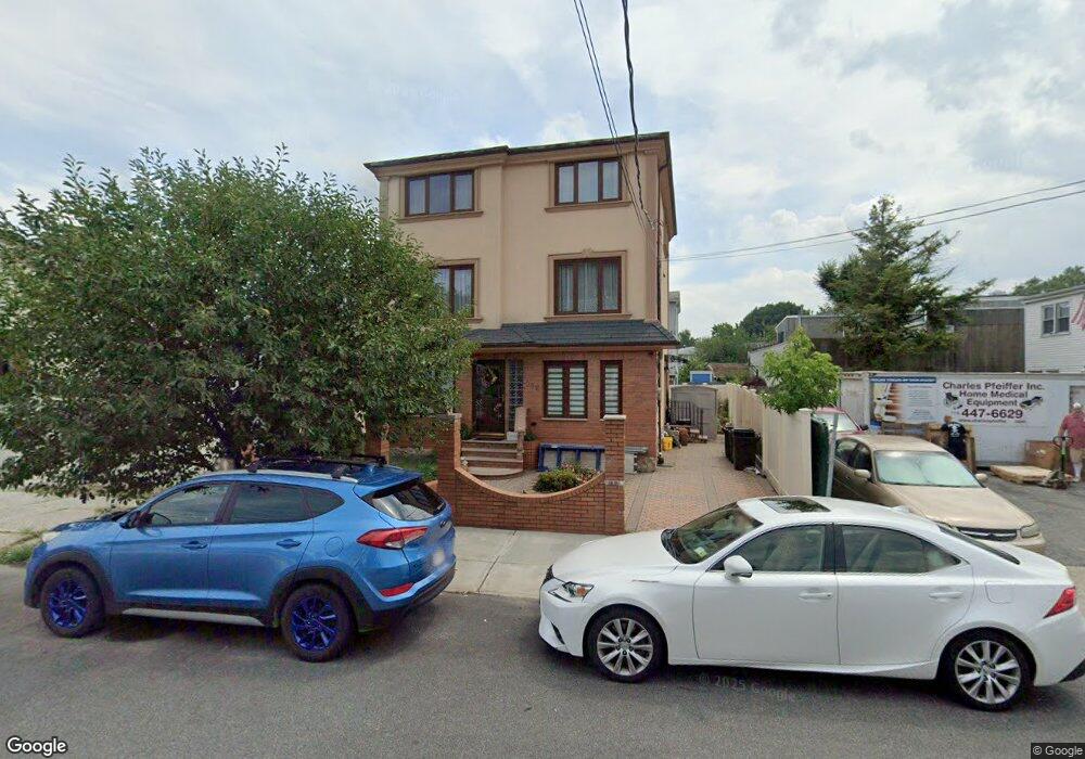
254 Egbert Ave Staten Island, NY 10310
Westerleigh NeighborhoodEstimated Value: $531,000 - $623,000
3
Beds
2
Baths
1,282
Sq Ft
$447/Sq Ft
Est. Value
About This Home
This home is located at 254 Egbert Ave, Staten Island, NY 10310 and is currently estimated at $572,823, approximately $446 per square foot. 254 Egbert Ave is a home located in Richmond County with nearby schools including P.S. 19 The Curtis School, Intermediate School 27, and Susan E Wagner High School.
Ownership History
Date
Name
Owned For
Owner Type
Purchase Details
Closed on
Jul 14, 1998
Sold by
Dryden Estates Inc
Bought by
Maglione Peter
Current Estimated Value
Home Financials for this Owner
Home Financials are based on the most recent Mortgage that was taken out on this home.
Original Mortgage
$90,600
Interest Rate
6.94%
Create a Home Valuation Report for This Property
The Home Valuation Report is an in-depth analysis detailing your home's value as well as a comparison with similar homes in the area
Home Values in the Area
Average Home Value in this Area
Purchase History
| Date | Buyer | Sale Price | Title Company |
|---|---|---|---|
| Maglione Peter | $115,000 | Transamerica Title Ins Compa |
Source: Public Records
Mortgage History
| Date | Status | Borrower | Loan Amount |
|---|---|---|---|
| Previous Owner | Maglione Peter | $90,600 |
Source: Public Records
Tax History Compared to Growth
Tax History
| Year | Tax Paid | Tax Assessment Tax Assessment Total Assessment is a certain percentage of the fair market value that is determined by local assessors to be the total taxable value of land and additions on the property. | Land | Improvement |
|---|---|---|---|---|
| 2025 | $4,077 | $34,980 | $5,647 | $29,333 |
| 2024 | $4,077 | $29,880 | $6,237 | $23,643 |
| 2023 | $3,890 | $19,152 | $5,791 | $13,361 |
| 2022 | $3,340 | $27,000 | $9,180 | $17,820 |
| 2021 | $3,697 | $27,480 | $9,180 | $18,300 |
| 2020 | $3,500 | $24,900 | $9,180 | $15,720 |
| 2019 | $3,246 | $22,440 | $9,180 | $13,260 |
| 2018 | $2,956 | $15,960 | $9,180 | $6,780 |
| 2017 | $3,182 | $17,078 | $8,567 | $8,511 |
| 2016 | $2,911 | $16,112 | $7,926 | $8,186 |
| 2015 | $2,447 | $15,200 | $9,642 | $5,558 |
| 2014 | $2,447 | $14,340 | $10,200 | $4,140 |
Source: Public Records
Map
Nearby Homes
- 200 Llewellyn Place
- 172-174 Llewellyn Place
- 78 Burnside Ave
- 79 Mundy Ave
- 36 Shaw Place
- 615 Jewett Ave
- 304 Kingsley Ave
- 1328 Forest Ave
- 159 North Ave
- 246 Dubois Ave
- 325 College Ave
- 349 College Ave
- 371 Jewett Ave
- 60 North Ave
- 176 Dubois Ave
- 40 North Ave
- 886 Delafield Ave
- 21 Dryden Ct
- 32 Dickie Ave
- 155 Cortlandt St