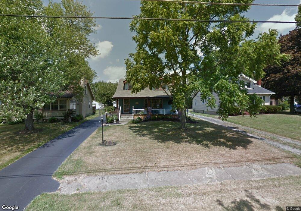
254 Erskine Ave Youngstown, OH 44512
Estimated Value: $169,930 - $207,000
2
Beds
1
Bath
2,055
Sq Ft
$91/Sq Ft
Est. Value
About This Home
This home is located at 254 Erskine Ave, Youngstown, OH 44512 and is currently estimated at $187,483, approximately $91 per square foot. 254 Erskine Ave is a home located in Mahoning County with nearby schools including Boardman Glenwood Junior High School, Boardman High School, and Horizon Science Academy - Youngstown.
Ownership History
Date
Name
Owned For
Owner Type
Purchase Details
Closed on
Aug 3, 2005
Sold by
Campbell Charles A
Bought by
Campbell Lois A
Current Estimated Value
Home Financials for this Owner
Home Financials are based on the most recent Mortgage that was taken out on this home.
Original Mortgage
$62,000
Interest Rate
5.66%
Mortgage Type
Purchase Money Mortgage
Purchase Details
Closed on
Sep 20, 1977
Bought by
Campbell Charles A and Campbell Lois
Create a Home Valuation Report for This Property
The Home Valuation Report is an in-depth analysis detailing your home's value as well as a comparison with similar homes in the area
Home Values in the Area
Average Home Value in this Area
Purchase History
| Date | Buyer | Sale Price | Title Company |
|---|---|---|---|
| Campbell Lois A | -- | -- | |
| Campbell Charles A | -- | -- |
Source: Public Records
Mortgage History
| Date | Status | Borrower | Loan Amount |
|---|---|---|---|
| Closed | Campbell Lois A | $62,000 |
Source: Public Records
Tax History Compared to Growth
Tax History
| Year | Tax Paid | Tax Assessment Tax Assessment Total Assessment is a certain percentage of the fair market value that is determined by local assessors to be the total taxable value of land and additions on the property. | Land | Improvement |
|---|---|---|---|---|
| 2024 | $2,390 | $46,730 | $4,360 | $42,370 |
| 2023 | $2,358 | $46,730 | $4,360 | $42,370 |
| 2022 | $1,930 | $29,120 | $4,040 | $25,080 |
| 2021 | $1,931 | $29,120 | $4,040 | $25,080 |
| 2020 | $1,941 | $29,120 | $4,040 | $25,080 |
| 2019 | $1,887 | $24,890 | $3,450 | $21,440 |
| 2018 | $1,608 | $24,890 | $3,450 | $21,440 |
| 2017 | $1,645 | $24,890 | $3,450 | $21,440 |
| 2016 | $1,698 | $26,330 | $3,860 | $22,470 |
| 2015 | $1,665 | $26,330 | $3,860 | $22,470 |
| 2014 | $1,669 | $26,330 | $3,860 | $22,470 |
| 2013 | $1,648 | $26,330 | $3,860 | $22,470 |
Source: Public Records
Map
Nearby Homes
- 329 Afton Ave
- 167 Afton Ave
- 0 Indianola Rd
- 127 Melrose Ave
- 149 Argyle Ave
- 0 Mathews Rd Unit 5038026
- 175 Homestead Dr
- 0 Cranberry Ln Unit 5170595
- 429 Tudor Ln
- 81 Melrose Ave
- 4715 Euclid Blvd
- 197 Mathews Rd Unit B
- 424 Mathews Rd
- 6001 Applecrest Dr
- 148 Clifton Dr
- 767 Indianola Rd
- 44 Gertrude Ave
- 4552 New England Blvd
- 83 Beechwood Dr
- 94 Beechwood Dr
- 252 Erskine Ave
- 260 Erskine Ave
- 244 Erskine Ave
- 270 Erskine Ave
- 257 Melrose Ave
- 261 Melrose Ave
- 253 Melrose Ave
- 240 Erskine Ave
- 245 Melrose Ave
- 259 Erskine Ave
- 253 Erskine Ave
- 263 Erskine Ave
- 241 Melrose Ave
- 249 Erskine Ave
- 269 Erskine Ave
- 281 Melrose Ave
- 234 Erskine Ave
- 243 Erskine Ave
- 239 Melrose Ave
- 273 Erskine Ave