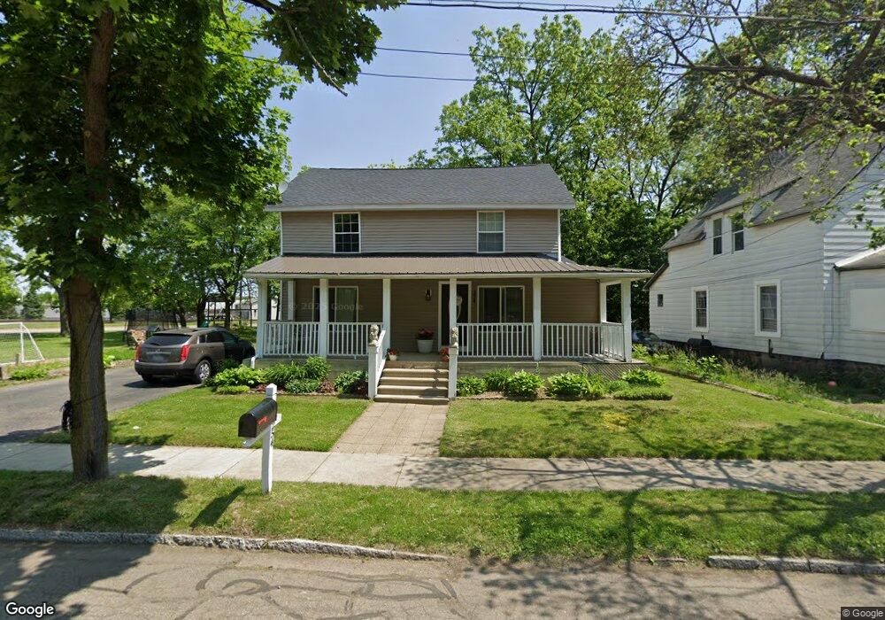
254 Grove St Battle Creek, MI 49037
Central Battle Creek NeighborhoodEstimated Value: $91,000 - $120,000
--
Bed
2
Baths
2,112
Sq Ft
$52/Sq Ft
Est. Value
About This Home
This home is located at 254 Grove St, Battle Creek, MI 49037 and is currently estimated at $109,431, approximately $51 per square foot. 254 Grove St is a home located in Calhoun County with nearby schools including Springfield Middle School, Battle Creek Central High School, and Battle Creek Montessori Academy.
Ownership History
Date
Name
Owned For
Owner Type
Purchase Details
Closed on
May 8, 2007
Sold by
Econohomes Llc
Bought by
Valencia Armando and Valencia Alcantar Maria G
Current Estimated Value
Purchase Details
Closed on
Jul 12, 2006
Sold by
Destiny Ventures
Bought by
Younts Moore Ltd Co
Purchase Details
Closed on
May 12, 2006
Sold by
Deutsche Bank Trust Co Americas
Bought by
Ventures Destiny
Purchase Details
Closed on
Nov 12, 2004
Sold by
Gates Cubby Michael and Gates Donna M
Bought by
Deutsche Bank Trust Co and Bankers Trust Co
Create a Home Valuation Report for This Property
The Home Valuation Report is an in-depth analysis detailing your home's value as well as a comparison with similar homes in the area
Home Values in the Area
Average Home Value in this Area
Purchase History
| Date | Buyer | Sale Price | Title Company |
|---|---|---|---|
| Valencia Armando | $6,000 | Fatic | |
| Younts Moore Ltd Co | $2,500 | None Available | |
| Ventures Destiny | -- | E Title Agency | |
| Deutsche Bank Trust Co | $21,668 | -- |
Source: Public Records
Tax History Compared to Growth
Tax History
| Year | Tax Paid | Tax Assessment Tax Assessment Total Assessment is a certain percentage of the fair market value that is determined by local assessors to be the total taxable value of land and additions on the property. | Land | Improvement |
|---|---|---|---|---|
| 2025 | -- | $52,100 | $0 | $0 |
| 2024 | $1,418 | $43,768 | $0 | $0 |
| 2023 | $1,712 | $42,182 | $0 | $0 |
| 2022 | $1,216 | $32,743 | $0 | $0 |
| 2021 | $1,626 | $31,005 | $0 | $0 |
| 2020 | $1,580 | $29,814 | $0 | $0 |
| 2019 | $1,581 | $24,255 | $0 | $0 |
| 2018 | $1,581 | $24,426 | $556 | $23,870 |
| 2017 | $1,645 | $24,470 | $0 | $0 |
| 2016 | $1,673 | $25,996 | $0 | $0 |
| 2015 | $1,673 | $26,041 | $2,293 | $23,748 |
| 2014 | $1,673 | $26,041 | $2,293 | $23,748 |
Source: Public Records
Map
Nearby Homes
- 211 Upton Ave Unit V/L
- 207 Upton Ave Unit V/L
- 180 Upton Ave
- 124 Spring St
- V/L Ave
- 131 Spring St
- 319 Hamblin Ave
- 21 Spring St
- 30 Harris St
- 39 Harris St
- 64 E Grand Circle Ave
- 16 Wood St S
- 133 Harris St
- V/L W Michigan 055 Ave
- 210 Battle Creek Ave
- 9 Thorne St
- 0 W Michigan 005 Ave Unit 22040281
- 0 W Ave Unit 22040282
- 212 Goguac St W
- 96 Battle Creek Ave