254 McMurphy Rd Alexandria, NH 03222
Estimated Value: $333,000 - $386,769
2
Beds
2
Baths
1,420
Sq Ft
$253/Sq Ft
Est. Value
About This Home
This home is located at 254 McMurphy Rd, Alexandria, NH 03222 and is currently estimated at $358,692, approximately $252 per square foot. 254 McMurphy Rd is a home located in Grafton County with nearby schools including Bristol Elementary School.
Ownership History
Date
Name
Owned For
Owner Type
Purchase Details
Closed on
Oct 31, 2025
Sold by
Fitton Dennis R
Bought by
Batman T T and Batman Fitton
Current Estimated Value
Purchase Details
Closed on
Feb 4, 2022
Sold by
Fitton Dennis R and Fitton Farrah R
Bought by
Fitton Dennis R
Home Financials for this Owner
Home Financials are based on the most recent Mortgage that was taken out on this home.
Original Mortgage
$171,000
Interest Rate
3.56%
Mortgage Type
New Conventional
Create a Home Valuation Report for This Property
The Home Valuation Report is an in-depth analysis detailing your home's value as well as a comparison with similar homes in the area
Home Values in the Area
Average Home Value in this Area
Purchase History
| Date | Buyer | Sale Price | Title Company |
|---|---|---|---|
| Batman T T | -- | -- | |
| Batman T T | -- | -- | |
| Fitton Dennis R | -- | None Available | |
| Fitton Dennis R | -- | None Available |
Source: Public Records
Mortgage History
| Date | Status | Borrower | Loan Amount |
|---|---|---|---|
| Previous Owner | Fitton Dennis R | $171,000 |
Source: Public Records
Tax History Compared to Growth
Tax History
| Year | Tax Paid | Tax Assessment Tax Assessment Total Assessment is a certain percentage of the fair market value that is determined by local assessors to be the total taxable value of land and additions on the property. | Land | Improvement |
|---|---|---|---|---|
| 2024 | $4,324 | $227,200 | $58,100 | $169,100 |
| 2023 | $4,217 | $226,100 | $58,100 | $168,000 |
| 2022 | $4,153 | $226,100 | $58,100 | $168,000 |
| 2021 | $4,255 | $226,100 | $58,100 | $168,000 |
| 2020 | $4,138 | $148,200 | $44,600 | $103,600 |
| 2019 | $3,339 | $138,900 | $44,600 | $94,300 |
| 2018 | $3,164 | $138,900 | $44,600 | $94,300 |
| 2017 | $3,433 | $136,400 | $44,600 | $91,800 |
| 2016 | $2,864 | $136,400 | $44,600 | $91,800 |
| 2015 | $2,986 | $142,200 | $52,600 | $89,600 |
| 2014 | $2,986 | $142,200 | $52,600 | $89,600 |
| 2013 | $3,013 | $141,700 | $52,600 | $89,100 |
Source: Public Records
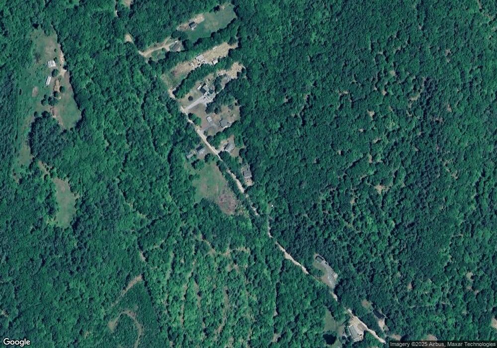
Map
Nearby Homes
- 29 Daniels Rd
- 333 Lake St
- 135 Pleasant St
- 00 Borough Rd Unit 1,2
- 30 Beech St Unit 4B
- 30 Beech St Unit 4C
- 80 Patten Rd
- 1695 Washburn Rd
- 35 Manor Estates Dr Unit 14
- 26 Don Gerry Rd
- 125 Verrill Rd
- Lot 7 Hall Rd
- 40 Adams Rd
- 383 Wulamat Rd
- 150 Peaked Hill Rd
- 20 Ward Hill Rd
- 410-090-008 Eastern District Rd
- 410-090-005 Eastern District Rd
- Lot91 Eastern District Rd
- 410-089-001 Eastern District Rd
- 278 McMurphy Rd
- 291 McMurphy Rd
- 302 McMurphy Rd
- 312 McMurphy Rd
- 178 McMurphy Rd
- lot 7 / 76 McMurphy Rd
- 00 McMurphy Rd Unit 7
- 0 McMurphy Rd Unit 7 4971561
- 0 McMurphy Rd
- LOT 4 McMurphy Rd
- LOTS 2 3 McMurphy Rd
- LOT 1 McMurphy Rd
- Lot 76 McMurphy Rd Unit 7
- Lot 76 McMurphy Rd
- 138 McMurphy Rd
- 127 McMurphy Rd
- 396 McMurphy Rd
- 400 McMurphy Rd
- 403 McMurphy Rd
- 98 McMurphy Rd