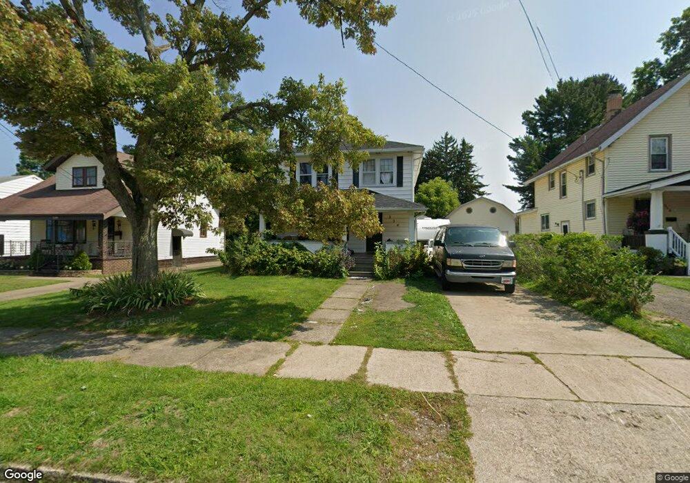
254 Reig Ave Conneaut, OH 44030
Estimated Value: $140,440 - $182,000
3
Beds
2
Baths
1,496
Sq Ft
$107/Sq Ft
Est. Value
About This Home
This home is located at 254 Reig Ave, Conneaut, OH 44030 and is currently estimated at $159,860, approximately $106 per square foot. 254 Reig Ave is a home located in Ashtabula County with nearby schools including Lakeshore Primary Elementary School, Gateway Elementary School, and Conneaut Middle School.
Ownership History
Date
Name
Owned For
Owner Type
Purchase Details
Closed on
Dec 12, 2014
Sold by
Richards Ronald E and Richards Marie A
Bought by
Friend Caleb J and Friend Paul H
Current Estimated Value
Home Financials for this Owner
Home Financials are based on the most recent Mortgage that was taken out on this home.
Original Mortgage
$76,083
Outstanding Balance
$59,231
Interest Rate
4.37%
Mortgage Type
FHA
Estimated Equity
$100,629
Create a Home Valuation Report for This Property
The Home Valuation Report is an in-depth analysis detailing your home's value as well as a comparison with similar homes in the area
Home Values in the Area
Average Home Value in this Area
Purchase History
| Date | Buyer | Sale Price | Title Company |
|---|---|---|---|
| Friend Caleb J | $77,500 | Acs Title & Closing Services |
Source: Public Records
Mortgage History
| Date | Status | Borrower | Loan Amount |
|---|---|---|---|
| Open | Friend Caleb J | $76,083 |
Source: Public Records
Tax History Compared to Growth
Tax History
| Year | Tax Paid | Tax Assessment Tax Assessment Total Assessment is a certain percentage of the fair market value that is determined by local assessors to be the total taxable value of land and additions on the property. | Land | Improvement |
|---|---|---|---|---|
| 2024 | $2,647 | $36,190 | $4,550 | $31,640 |
| 2023 | $1,682 | $36,190 | $4,550 | $31,640 |
| 2022 | $1,422 | $26,920 | $3,500 | $23,420 |
| 2021 | $1,447 | $26,920 | $3,500 | $23,420 |
| 2020 | $1,446 | $26,920 | $3,500 | $23,420 |
| 2019 | $1,437 | $26,290 | $1,860 | $24,430 |
| 2018 | $1,370 | $26,290 | $1,860 | $24,430 |
| 2017 | $1,347 | $26,290 | $1,860 | $24,430 |
| 2016 | $1,312 | $27,480 | $1,930 | $25,550 |
| 2015 | $1,325 | $27,480 | $1,930 | $25,550 |
| 2014 | $1,167 | $27,480 | $1,930 | $25,550 |
| 2013 | $978 | $23,660 | $2,870 | $20,790 |
Source: Public Records
Map
Nearby Homes
- 855 Spring St Unit S9
- 247 Whitney St
- 589 Main St
- 210 W Main Rd
- 202 W Main Rd Unit 49
- 202 W Main Rd Unit Lot 150
- 202 W Main Rd Unit 33
- 202 W Main Rd Unit 16
- 18 Hillcrest Ct
- 536 Madison St
- 474 Sherman St
- 455 Main St
- 251 St Rt 7
- 220 Daniels Ave
- 429 Depot St
- VL Center Rd
- 1145 Lake Rd
- 1150 Lake Rd
- 459 Mill St
- 2663 Lake Rd