254 SW 2nd Rd Great Bend, KS 67530
Estimated Value: $126,988
--
Bed
--
Bath
4,000
Sq Ft
$32/Sq Ft
Est. Value
About This Home
This home is located at 254 SW 2nd Rd, Great Bend, KS 67530 and is currently estimated at $126,988, approximately $31 per square foot. 254 SW 2nd Rd is a home located in Barton County with nearby schools including Great Bend High School, Great Bend Sda School, and Holy Family School.
Ownership History
Date
Name
Owned For
Owner Type
Purchase Details
Closed on
Apr 1, 1986
Bought by
Kbk Oilfield Service Inc
Current Estimated Value
Create a Home Valuation Report for This Property
The Home Valuation Report is an in-depth analysis detailing your home's value as well as a comparison with similar homes in the area
Home Values in the Area
Average Home Value in this Area
Purchase History
| Date | Buyer | Sale Price | Title Company |
|---|---|---|---|
| Kbk Oilfield Service Inc | $55,000 | -- |
Source: Public Records
Tax History Compared to Growth
Tax History
| Year | Tax Paid | Tax Assessment Tax Assessment Total Assessment is a certain percentage of the fair market value that is determined by local assessors to be the total taxable value of land and additions on the property. | Land | Improvement |
|---|---|---|---|---|
| 2025 | $2,759 | $18,730 | $10,670 | $8,060 |
| 2024 | $28 | $20,488 | $14,900 | $5,588 |
| 2023 | $2,777 | $20,488 | $12,650 | $7,838 |
| 2022 | $2,682 | $19,025 | $6,980 | $12,045 |
| 2021 | $2,694 | $18,443 | $6,940 | $11,503 |
| 2020 | $2,754 | $18,570 | $6,680 | $11,890 |
| 2019 | $2,241 | $15,578 | $3,083 | $12,495 |
| 2018 | $1,658 | $11,536 | $4,798 | $6,738 |
| 2017 | $1,591 | $10,708 | $3,965 | $6,743 |
| 2016 | $1,615 | $10,918 | $3,918 | $7,000 |
| 2015 | -- | $14,938 | $3,523 | $11,415 |
| 2014 | -- | $14,128 | $3,523 | $10,605 |
Source: Public Records
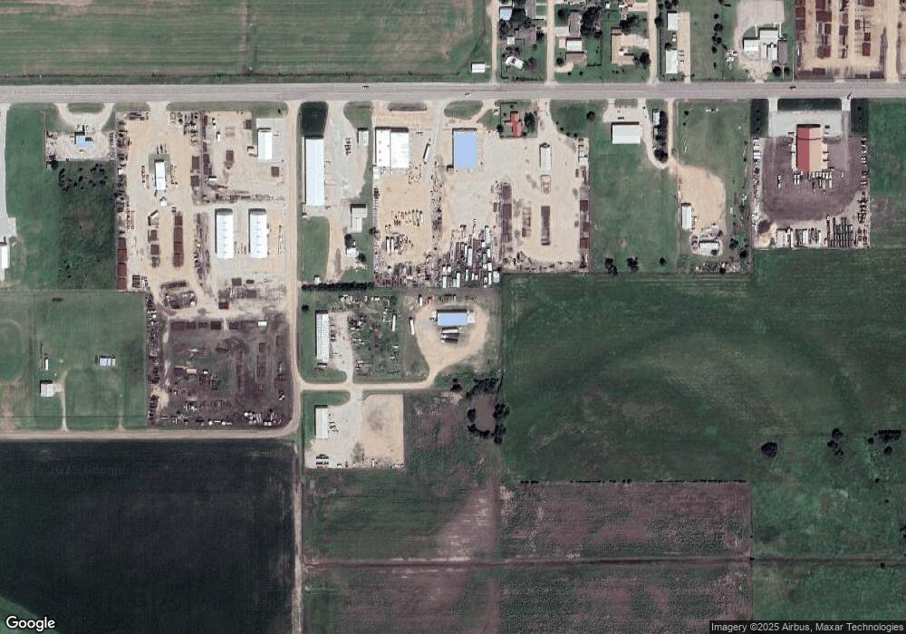
Map
Nearby Homes
- 1205 Roxanne Dr
- 5966 Eisenhower Ave
- 6035 2nd St
- 6000 Harbor Way
- 6035 Harbor Way
- 5934 Harbor Way
- 1507 Cherry Ln
- 5900 Harbor Way
- 5850 Harbor Way
- 6030 Rosewood Dr
- 6000 Rosewood Dr
- 6025 Aspen Dr
- 5501 9th St
- 215 S Tahiti Rd
- 5850 Paradise Ln
- 1308 Van Fleet Ln
- 1815 Cottonwood Ln
- 1059 Warner Rd
- 1320 Van Fleet Ln
- 315 S Tahiti Dr
- 254 SW 2 Rd
- 6033 10th St
- 1000 Roxanna Dr
- 6003 10th St
- 1005 Roxanna Dr
- 1001 Parrish Rd
- 1010 Roxanna Dr
- 1017 Roxanna Dr
- 1010 Roxanna Dr
- 6000 10th St
- 1020 Roxanna Dr
- 1020 Roxanne Dr
- 1101 Roxanna Dr
- 1019 Parrish Rd
- 1100 Roxanna Dr
- 1111 Roxanna Dr
- 1101 Parrish Rd
- 1110 Roxanna Dr
- 1111 Roxanne Dr
- 1100 Parrish Rd