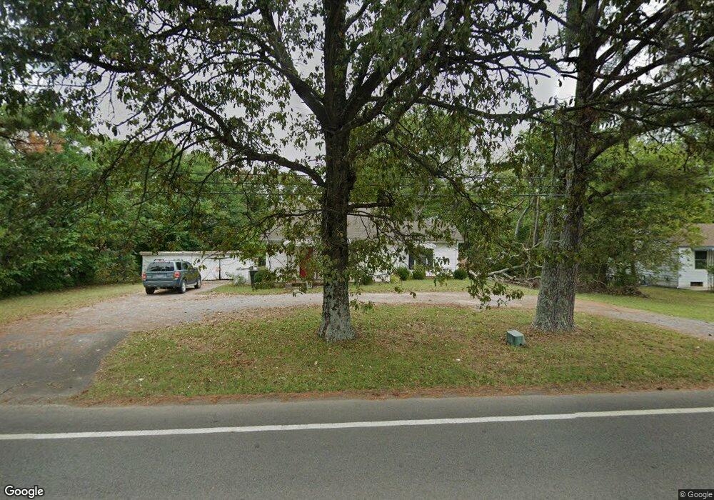
254 W Thompson Ln Murfreesboro, TN 37129
Estimated Value: $220,000 - $356,000
--
Bed
2
Baths
1,377
Sq Ft
$198/Sq Ft
Est. Value
About This Home
This home is located at 254 W Thompson Ln, Murfreesboro, TN 37129 and is currently estimated at $273,289, approximately $198 per square foot. 254 W Thompson Ln is a home located in Rutherford County with nearby schools including Erma Siegel Elementary School, Walter Hill Elementary School, and Siegel Middle School.
Ownership History
Date
Name
Owned For
Owner Type
Purchase Details
Closed on
Dec 17, 2020
Sold by
Harrell Brian and Wallace Beverly
Bought by
Wallace Beverly H and Walker Juliet W
Current Estimated Value
Purchase Details
Closed on
Mar 9, 2015
Sold by
Harrell Sterling A
Bought by
Harrell Brian Beverly Wallace and Harrell Brenda Mckenzie
Purchase Details
Closed on
Apr 29, 2011
Sold by
Adams Ladonna Anne
Bought by
Harrell Sterling A
Purchase Details
Closed on
Apr 22, 2011
Sold by
Henderson Herbert Eugene
Bought by
Adams Ladonna Anne
Create a Home Valuation Report for This Property
The Home Valuation Report is an in-depth analysis detailing your home's value as well as a comparison with similar homes in the area
Home Values in the Area
Average Home Value in this Area
Purchase History
| Date | Buyer | Sale Price | Title Company |
|---|---|---|---|
| Wallace Beverly H | $160,000 | None Available | |
| Wallace Beverly H | $160,000 | None Listed On Document | |
| Harrell Brian Beverly Wallace | -- | -- | |
| Harrell Sterling A | $75,000 | -- | |
| Adams Ladonna Anne | -- | -- |
Source: Public Records
Tax History Compared to Growth
Tax History
| Year | Tax Paid | Tax Assessment Tax Assessment Total Assessment is a certain percentage of the fair market value that is determined by local assessors to be the total taxable value of land and additions on the property. | Land | Improvement |
|---|---|---|---|---|
| 2025 | $1,520 | $53,750 | $17,450 | $36,300 |
| 2024 | $1,520 | $53,750 | $17,450 | $36,300 |
| 2023 | $1,008 | $53,750 | $17,450 | $36,300 |
| 2022 | $869 | $58,175 | $17,450 | $40,725 |
| 2021 | $801 | $36,075 | $11,725 | $24,350 |
| 2020 | $721 | $32,500 | $7,775 | $24,725 |
| 2019 | $721 | $32,500 | $7,775 | $24,725 |
Source: Public Records
Map
Nearby Homes
- 3502 Winterfell Dr
- 0 Thompson Rd Unit RTC3030765
- 0 Thompson Rd Unit RTC2925050
- 3434 Magruder Dr
- 3535 Caroline Farms Dr
- 3524 Magruder Dr
- 3429 John Richards Dr
- 3425 John Richards Dr
- 3419 John Richards Dr
- 3435 John Richards Dr
- 3431 John Richards Dr
- 3423 John Richards Dr
- 3505 John Richards Dr
- 3407 John Richards Dr
- 3417 John Richards Dr
- 3411 John Richards Dr
- 3544 Magruder Dr
- 3508 Pershing Dr
- 3703 Lexington Ct
- 723 Regal Dr
- 244 W Thompson Ln
- 264 W Thompson Ln
- 221 Turtle Rock Ct
- 270 W Thompson Ln
- 236 W Thompson Ln
- 225 Turtle Rock Ct
- 217 Turtle Rock Ct
- 274 W Thompson Ln
- 276 W Thompson Ln
- 222 Turtle Rock Ct
- 280 W Thompson Ln
- 213 Turtle Rock Ct
- 224 W Thompson Ln
- 218 Turtle Rock Ct
- 284 W Thompson Ln
- 209 Turtle Rock Ct
- 227 Cobblefield Ave
- 214 Turtle Rock Ct
- 223 Cobblefield Ave
- 205 Turtle Rock Ct