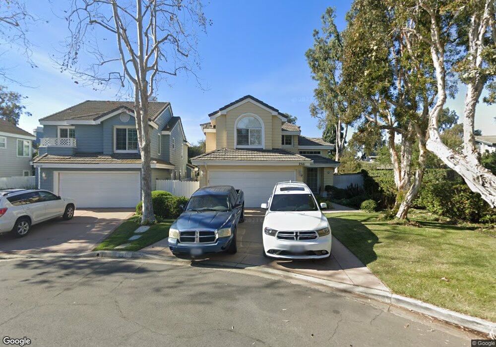
2541 Seamist Ct Port Hueneme, CA 93041
Estimated Value: $888,000 - $1,020,320
4
Beds
3
Baths
2,442
Sq Ft
$382/Sq Ft
Est. Value
About This Home
This home is located at 2541 Seamist Ct, Port Hueneme, CA 93041 and is currently estimated at $932,080, approximately $381 per square foot. 2541 Seamist Ct is a home located in Ventura County with nearby schools including Marina West Elementary School, Oxnard High School, and St. Anthony's Elementary School.
Ownership History
Date
Name
Owned For
Owner Type
Purchase Details
Closed on
Apr 30, 2013
Sold by
Maile John J and Maile Adrienne L
Bought by
Maile John J and Maile Adrienne L
Current Estimated Value
Home Financials for this Owner
Home Financials are based on the most recent Mortgage that was taken out on this home.
Original Mortgage
$360,000
Interest Rate
3.51%
Mortgage Type
New Conventional
Purchase Details
Closed on
Apr 28, 1998
Sold by
The First National Bank Of Chicago
Bought by
Maile John J and Ayala Adrienne L
Home Financials for this Owner
Home Financials are based on the most recent Mortgage that was taken out on this home.
Original Mortgage
$216,600
Interest Rate
7.13%
Purchase Details
Closed on
Dec 11, 1997
Sold by
Zessin Larry D and Zessin Katherine A
Bought by
The First National Bank Of Chicago
Create a Home Valuation Report for This Property
The Home Valuation Report is an in-depth analysis detailing your home's value as well as a comparison with similar homes in the area
Home Values in the Area
Average Home Value in this Area
Purchase History
| Date | Buyer | Sale Price | Title Company |
|---|---|---|---|
| Maile John J | -- | Pacific Coast Title | |
| Maile John J | $228,000 | Fidelity National Title Co | |
| The First National Bank Of Chicago | $206,000 | First American Title Ins Co |
Source: Public Records
Mortgage History
| Date | Status | Borrower | Loan Amount |
|---|---|---|---|
| Previous Owner | Maile John J | $360,000 | |
| Previous Owner | Maile John J | $216,600 |
Source: Public Records
Tax History Compared to Growth
Tax History
| Year | Tax Paid | Tax Assessment Tax Assessment Total Assessment is a certain percentage of the fair market value that is determined by local assessors to be the total taxable value of land and additions on the property. | Land | Improvement |
|---|---|---|---|---|
| 2025 | $4,331 | $364,015 | $145,604 | $218,411 |
| 2024 | $4,331 | $356,878 | $142,749 | $214,129 |
| 2023 | $4,214 | $349,881 | $139,950 | $209,931 |
| 2022 | $4,056 | $343,021 | $137,206 | $205,815 |
| 2021 | $3,972 | $336,296 | $134,516 | $201,780 |
| 2020 | $3,926 | $332,850 | $133,138 | $199,712 |
| 2019 | $3,877 | $326,325 | $130,528 | $195,797 |
| 2018 | $3,839 | $319,927 | $127,969 | $191,958 |
| 2017 | $3,627 | $313,655 | $125,460 | $188,195 |
| 2016 | $3,564 | $307,505 | $123,000 | $184,505 |
| 2015 | $3,462 | $302,888 | $121,153 | $181,735 |
| 2014 | $3,451 | $296,957 | $118,781 | $178,176 |
Source: Public Records
Map
Nearby Homes
- 541 Broderick Way
- 2633 Barnacle Cove
- 422 Las Palomas Dr
- 438 Las Palomas Dr
- 2622 Captains Ave
- 469 Corvette St
- 426 Reed Way
- 676 Pacific Cove Dr
- 701 Halyard St
- 3610 Isle Way
- 2755 Bolker Dr Unit A
- 3644 Islander Walk
- 2732 Bolker Dr
- 2754 Bolker Dr
- 2466 Bolker Dr
- 2456 Bolker Dr
- 2431 Victoria Ave
- 225 W Channel Islands Blvd
- 2230 Monaco Dr
- 2524 Monaco Dr
- 2537 Seamist Ct
- 2529 Seamist Ct
- 2552 Mariner Cove
- 2556 Mariner Cove
- 2538 Oceanmist Ct
- 2546 Oceanmist Ct
- 2555 Liberty Cove
- 2560 Mariner Cove
- 541 Pacific Cove Dr
- 2559 Liberty Cove
- 537 Pacific Cove Dr
- 2553 Mariner Cove
- 531 Pacific Cove Dr
- 2534 Oceanmist Ct
- 2564 Mariner Cove
- 2563 Liberty Cove
- 2540 Seamist Ct
- 527 Pacific Cove Dr
- 2557 Mariner Cove
- 2567 Liberty Cove