25411 William Rd Picayune, MS 39466
Estimated Value: $250,587 - $263,000
4
Beds
1
Bath
1,890
Sq Ft
$135/Sq Ft
Est. Value
About This Home
This home is located at 25411 William Rd, Picayune, MS 39466 and is currently estimated at $255,397, approximately $135 per square foot. 25411 William Rd is a home located in Hancock County with nearby schools including West Hancock Elementary School, Hancock Middle School, and Hancock High School.
Ownership History
Date
Name
Owned For
Owner Type
Purchase Details
Closed on
Feb 5, 2025
Sold by
Faith Jason T and Faith Jolene
Bought by
Ladner Loxie
Current Estimated Value
Purchase Details
Closed on
Jan 25, 2021
Sold by
Bowman Mary Jane and Bowman Steven A
Bought by
Faith Jason T and Faith Jolene
Purchase Details
Closed on
Feb 25, 2019
Sold by
Downes Morris Wilmon and Downes George Wesley
Bought by
Bowman Steven A and Bowman Mary Jane
Create a Home Valuation Report for This Property
The Home Valuation Report is an in-depth analysis detailing your home's value as well as a comparison with similar homes in the area
Purchase History
| Date | Buyer | Sale Price | Title Company |
|---|---|---|---|
| Ladner Loxie | -- | Pilger Title | |
| Ladner Loxie | -- | Pilger Title | |
| Faith Jason T | -- | -- | |
| Bowman Steven A | -- | -- | |
| Bowman Steve A | $155,000 | -- |
Source: Public Records
Tax History
| Year | Tax Paid | Tax Assessment Tax Assessment Total Assessment is a certain percentage of the fair market value that is determined by local assessors to be the total taxable value of land and additions on the property. | Land | Improvement |
|---|---|---|---|---|
| 2025 | $1,680 | $18,412 | $2,520 | $15,892 |
| 2024 | $1,676 | $18,367 | $2,475 | $15,892 |
| 2023 | $1,566 | $17,163 | $2,475 | $14,688 |
| 2022 | $1,640 | $17,975 | $2,475 | $15,500 |
| 2021 | $793 | $11,984 | $1,650 | $10,334 |
| 2020 | $754 | $11,122 | $1,650 | $9,472 |
| 2019 | $754 | $11,122 | $1,650 | $9,472 |
| 2018 | $757 | $11,156 | $1,650 | $9,506 |
| 2017 | $757 | $11,156 | $1,650 | $9,506 |
| 2016 | $730 | $11,156 | $1,650 | $9,506 |
| 2015 | $612 | $10,441 | $1,800 | $8,641 |
| 2014 | $555 | $10,009 | $1,800 | $8,209 |
| 2013 | $523 | $10,009 | $1,800 | $8,209 |
Source: Public Records
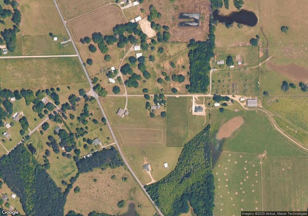
Map
Nearby Homes
- 26340 Strickland Rd
- 11084 Road 231
- 11080 Road 231
- 27019 Leetown Rd
- 26230 Longvue Dr
- 24327 Rester Rd
- 24094 Rester Rd
- 27261 Varnado Cutoff Rd
- 2670 Long Leaf Dr
- S Leetown and Highway 43
- 0 S Leetown and Highway 43 Hwy Unit 4067215
- 23280 Leetown Rd
- 27410 Lake Cypress Dr
- 27588 E Lake Cypress Dr
- 0 Cypress Place Unit 4128643
- 00 N Benville Rd
- NHN Mint Julep Airpark
- 0 N Benville Rd Unit 4138082
- 24100 Autumn Place
- NHN Cypress Place
- 25441 William Rd
- 25410 William Rd
- 25447 William Rd
- 25430 Leetown Rd
- 25325 Leetown Rd
- 10201 Old Kiln Rd
- 35511 Leetown Rd
- 25460 William Rd
- 25460 William Rd
- 00000 William Rd
- 0000 William Rd
- 11056 Old Kiln Rd
- 11053 Old Kiln Rd
- 25454 William Rd
- 25272 Leetown Rd
- 25283 Leetown Rd
- 11143 Old Kiln Rd
- 25500 William Rd
- 10030 Harvey Rd
- 10060 Harvey Rd
Your Personal Tour Guide
Ask me questions while you tour the home.