2543 105th St E Inver Grove Heights, MN 55077
Estimated Value: $801,293 - $874,000
5
Beds
4
Baths
3,768
Sq Ft
$222/Sq Ft
Est. Value
About This Home
This home is located at 2543 105th St E, Inver Grove Heights, MN 55077 and is currently estimated at $837,323, approximately $222 per square foot. 2543 105th St E is a home located in Dakota County with nearby schools including Red Pine Elementary School, Rosemount Middle School, and Rosemount Senior High School.
Ownership History
Date
Name
Owned For
Owner Type
Purchase Details
Closed on
Sep 9, 2015
Sold by
Brown Kenneth L and Brown Sharon A
Bought by
Bjorkstrand Jesse R and Bjorkstrand Erin E
Current Estimated Value
Home Financials for this Owner
Home Financials are based on the most recent Mortgage that was taken out on this home.
Original Mortgage
$386,900
Outstanding Balance
$304,092
Interest Rate
3.93%
Mortgage Type
New Conventional
Estimated Equity
$533,231
Purchase Details
Closed on
Apr 4, 1997
Sold by
Mellgren Edmund M and Mellgren Susan M
Bought by
Brown Kenneth L and Brown Sharon A
Create a Home Valuation Report for This Property
The Home Valuation Report is an in-depth analysis detailing your home's value as well as a comparison with similar homes in the area
Home Values in the Area
Average Home Value in this Area
Purchase History
| Date | Buyer | Sale Price | Title Company |
|---|---|---|---|
| Bjorkstrand Jesse R | $441,000 | Burnet Title | |
| Brown Kenneth L | $291,000 | -- |
Source: Public Records
Mortgage History
| Date | Status | Borrower | Loan Amount |
|---|---|---|---|
| Open | Bjorkstrand Jesse R | $386,900 |
Source: Public Records
Tax History Compared to Growth
Tax History
| Year | Tax Paid | Tax Assessment Tax Assessment Total Assessment is a certain percentage of the fair market value that is determined by local assessors to be the total taxable value of land and additions on the property. | Land | Improvement |
|---|---|---|---|---|
| 2024 | $9,034 | $720,000 | $277,300 | $442,700 |
| 2023 | $9,034 | $686,400 | $270,300 | $416,100 |
| 2022 | $8,156 | $680,600 | $270,000 | $410,600 |
| 2021 | $7,484 | $614,300 | $234,800 | $379,500 |
| 2020 | $7,248 | $565,700 | $223,600 | $342,100 |
| 2019 | $6,707 | $537,800 | $212,900 | $324,900 |
| 2018 | $6,389 | $514,900 | $202,800 | $312,100 |
| 2017 | $6,369 | $492,800 | $193,200 | $299,600 |
| 2016 | $6,371 | $472,400 | $184,000 | $288,400 |
| 2015 | $6,067 | $476,300 | $179,500 | $296,800 |
| 2014 | -- | $462,800 | $172,900 | $289,900 |
| 2013 | -- | $443,900 | $161,200 | $282,700 |
Source: Public Records
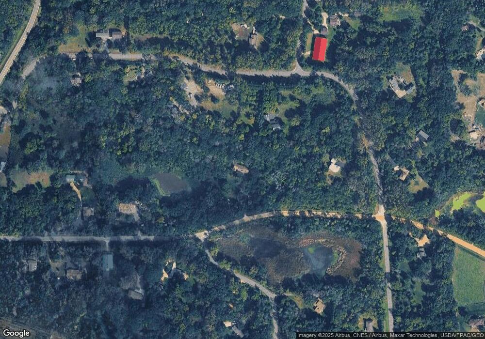
Map
Nearby Homes
- 2324 99th St E
- 11025 Courthouse Blvd
- 9649-9665 Cedarwood Ct
- TBd Cahill Blvd Blvd
- 8904 Brunswick Path Unit 2104
- 8816 Brunell Way Unit 404
- 8789 Branson Dr Unit 72
- 8755 Benson Way Unit 101
- 2853 87th St E Unit 29
- 8916 Coffman Path
- 10064 Adam Ave
- 8827 Coffman Path
- 10684 Alameda Ave
- 9380 Aladin Trail
- 10612 Alison Way
- 8124 Clifford Cir
- 8336 Cloman Ave
- 8404 Copperfield Way Unit 101
- 8406 Copperfield Way Unit 102
- 10668 Alton Ct
- 10469 Barnes Way
- 10449 Barnes Way
- 2421 105th St E
- 2440 105th St E
- 10574 Borman Ave
- 10265 Blair Ave
- 10429 Barnes Way
- 2353 105th St E
- 10494 Barnes Way
- 10579 Borman Ave
- 2420 105th St E
- 10409 Barnes Way
- 10129 Blair Ave
- 10480 Barnes Way
- 10420 Barnes Way
- 10635 Borman Ave
- 2370 105th St E
- 2714 105th St E
- 10555 Barnes Way
- 10240 Blair Ave