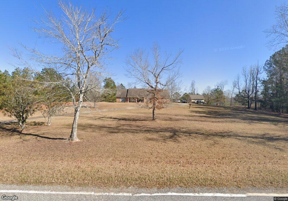
2543 Mckee Rd Upatoi, GA 31829
Estimated Value: $483,000 - $539,000
5
Beds
6
Baths
3,223
Sq Ft
$161/Sq Ft
Est. Value
About This Home
This home is located at 2543 Mckee Rd, Upatoi, GA 31829 and is currently estimated at $518,014, approximately $160 per square foot. 2543 Mckee Rd is a home located in Harris County with nearby schools including Pine Ridge Elementary School, Cogburn Woods Elementary School, and Harris County Carver Middle School.
Ownership History
Date
Name
Owned For
Owner Type
Purchase Details
Closed on
Jun 14, 2019
Sold by
Gillette Bryan
Bought by
Gillette Bryan and Gillette Kathy
Current Estimated Value
Purchase Details
Closed on
Aug 18, 2016
Sold by
Jonathan
Bought by
Wynes Jermaiah James and Wynes Kirsten A
Home Financials for this Owner
Home Financials are based on the most recent Mortgage that was taken out on this home.
Original Mortgage
$303,738
Interest Rate
3.45%
Mortgage Type
VA
Purchase Details
Closed on
Dec 17, 2013
Sold by
Mlm Muscogee Holdings Lllp
Bought by
Giles Jonathan
Purchase Details
Closed on
Oct 17, 2013
Sold by
Mike L Moon Enterprises Ll
Bought by
Mlm Muscogee Holdings Lllp
Purchase Details
Closed on
May 10, 2013
Sold by
Lowe Moon Forest Products
Bought by
Mike L Moon Enterprises Llc
Purchase Details
Closed on
Jan 18, 2011
Sold by
Nanz Robert Dennis
Bought by
Lowe-Moon Forest Products Inc
Purchase Details
Closed on
May 13, 2008
Sold by
Nanz Robert Dennis
Bought by
Lowe Moon Forest Products Inc
Purchase Details
Closed on
Mar 27, 2008
Sold by
Noonan Partrick J
Bought by
Mike L Moon Enterprises Llc
Purchase Details
Closed on
Aug 7, 2007
Sold by
Noonan Patrick J
Bought by
Noonan Patrick J and Noonan Wendy P
Purchase Details
Closed on
Apr 5, 2006
Sold by
Grier Randall A
Bought by
Noonan Patrick J and Noonan Wendy P
Home Financials for this Owner
Home Financials are based on the most recent Mortgage that was taken out on this home.
Original Mortgage
$170,000
Interest Rate
6.29%
Mortgage Type
New Conventional
Purchase Details
Closed on
Jan 29, 2003
Sold by
Grier Randall A
Bought by
Grier Randall A and Grier Patricia T
Purchase Details
Closed on
Jul 12, 2000
Bought by
Grier Randall A and Grier Patricia T
Create a Home Valuation Report for This Property
The Home Valuation Report is an in-depth analysis detailing your home's value as well as a comparison with similar homes in the area
Home Values in the Area
Average Home Value in this Area
Purchase History
| Date | Buyer | Sale Price | Title Company |
|---|---|---|---|
| Gillette Bryan | $330,000 | -- | |
| Gillette Bryan | $330,000 | -- | |
| Wynes Jermaiah James | $315,000 | -- | |
| Giles Jonathan | $182,000 | -- | |
| Mlm Muscogee Holdings Lllp | $182,000 | -- | |
| Mike L Moon Enterprises Llc | -- | -- | |
| Lowe-Moon Forest Products Inc | $206,700 | -- | |
| Lowe Moon Forest Products Inc | $206,677 | -- | |
| Lowe Moon Forest Products Inc | $391,500 | -- | |
| Mike L Moon Enterprises Llc | $300,000 | -- | |
| Noonan Patrick J | -- | -- | |
| Noonan Patrick J | $80,100 | -- | |
| Moonan Patrick J | $299,900 | -- | |
| Grier Randall A | -- | -- | |
| Grier Randall A | $269,000 | -- |
Source: Public Records
Mortgage History
| Date | Status | Borrower | Loan Amount |
|---|---|---|---|
| Previous Owner | Wynes Jermaiah James | $303,738 | |
| Previous Owner | Moonan Patrick J | $170,000 | |
| Closed | Lowe Moon Forest Products Inc | -- | |
| Closed | Gillette Bryan | $0 |
Source: Public Records
Tax History Compared to Growth
Tax History
| Year | Tax Paid | Tax Assessment Tax Assessment Total Assessment is a certain percentage of the fair market value that is determined by local assessors to be the total taxable value of land and additions on the property. | Land | Improvement |
|---|---|---|---|---|
| 2024 | $758 | $139,894 | $12,300 | $127,594 |
| 2023 | $478 | $139,669 | $12,300 | $127,369 |
| 2022 | $1,159 | $139,669 | $12,300 | $127,369 |
| 2021 | $1,028 | $132,688 | $12,300 | $120,388 |
| 2020 | $3,691 | $132,688 | $12,300 | $120,388 |
| 2019 | $3,418 | $126,712 | $12,300 | $114,412 |
| 2018 | $3,594 | $126,712 | $12,300 | $114,412 |
| 2017 | $3,576 | $126,712 | $12,300 | $114,412 |
| 2016 | $3,258 | $129,765 | $12,300 | $117,464 |
| 2015 | $3,264 | $129,765 | $12,300 | $117,464 |
| 2014 | $3,367 | $129,765 | $12,300 | $117,464 |
| 2013 | -- | $129,815 | $12,300 | $117,514 |
Source: Public Records
Map
Nearby Homes
- Cypress Plan at Bowers Creek
- Cannaberra Plan at Bowers Creek
- Belmont Plan at Bowers Creek
- Jackson Plan at Bowers Creek
- Alder Plan at Bowers Creek
- Oakwood Plan at Bowers Creek
- Magnolia Plan at Bowers Creek
- Ash II Plan at Bowers Creek
- Harrison Plan at Bowers Creek
- 57 Old Chimney Ct
- 0 Boyd Ct
- 8585 Mckee Rd
- 55 Bransford Ln
- 72 W Teddy Bear Ln
- 0 Diamond Rd Unit 224108
- 15 Village Pkwy
- 19881 Georgia 315
- 7019 Kendall Creek Dr
- 680 Kristi Lynns Way
- 8701 Mckee Rd