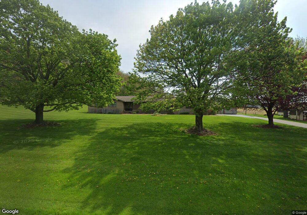
25432 State Route 621 Coshocton, OH 43812
Estimated Value: $276,000 - $392,000
3
Beds
3
Baths
1,950
Sq Ft
$163/Sq Ft
Est. Value
About This Home
This home is located at 25432 State Route 621, Coshocton, OH 43812 and is currently estimated at $318,804, approximately $163 per square foot. 25432 State Route 621 is a home located in Coshocton County with nearby schools including River View High School and Coshocton Christian School.
Ownership History
Date
Name
Owned For
Owner Type
Purchase Details
Closed on
Oct 16, 2010
Sold by
Croup Dean A
Bought by
Croup Linda B
Current Estimated Value
Home Financials for this Owner
Home Financials are based on the most recent Mortgage that was taken out on this home.
Original Mortgage
$88,300
Outstanding Balance
$664
Interest Rate
4.3%
Mortgage Type
New Conventional
Estimated Equity
$318,140
Purchase Details
Closed on
Apr 25, 1997
Sold by
Larr Ronald E
Bought by
Larr Ronald E
Create a Home Valuation Report for This Property
The Home Valuation Report is an in-depth analysis detailing your home's value as well as a comparison with similar homes in the area
Home Values in the Area
Average Home Value in this Area
Purchase History
| Date | Buyer | Sale Price | Title Company |
|---|---|---|---|
| Croup Linda B | -- | None Available | |
| Larr Ronald E | -- | -- |
Source: Public Records
Mortgage History
| Date | Status | Borrower | Loan Amount |
|---|---|---|---|
| Open | Croup Linda B | $88,300 |
Source: Public Records
Tax History Compared to Growth
Tax History
| Year | Tax Paid | Tax Assessment Tax Assessment Total Assessment is a certain percentage of the fair market value that is determined by local assessors to be the total taxable value of land and additions on the property. | Land | Improvement |
|---|---|---|---|---|
| 2024 | $2,562 | $75,350 | $15,470 | $59,880 |
| 2023 | $2,562 | $60,250 | $10,350 | $49,900 |
| 2022 | $2,214 | $60,250 | $10,350 | $49,900 |
| 2021 | $2,214 | $60,250 | $10,350 | $49,900 |
| 2020 | $2,234 | $60,379 | $7,658 | $52,721 |
| 2019 | $2,287 | $60,379 | $7,658 | $52,721 |
| 2018 | $2,215 | $60,379 | $7,658 | $52,721 |
| 2017 | $1,985 | $53,116 | $6,825 | $46,291 |
| 2016 | $1,879 | $53,116 | $6,825 | $46,291 |
| 2015 | $1,819 | $53,116 | $6,825 | $46,291 |
| 2014 | $1,819 | $51,261 | $4,928 | $46,333 |
Source: Public Records
Map
Nearby Homes
- 23900 Airport Rd
- 217 E Liberty St
- 230 Rivercrest Dr
- 23749 County Road 621
- 26929 County Road 1
- 26938 County Road 1
- 0 County Road 1
- 527 N 15th St
- 1636 Trade Ave
- 216 N 15th St
- 821 Grandview Ave
- 1421 Chestnut St
- 353 N 11th St
- 349 N 11th St
- 24272 Township Road 1169
- 1945 Hall Dr
- 1124 Chestnut St
- 133 N 12th St
- 624 Cemetery St
- 1706 Adams St
- 25400 State Route 621
- 25543 Township Road 192
- 25533 Township Road 192
- 25326 State Route 621
- 25427 Keene Township Road 192
- 25262 State Route 621
- 25399 Keene Township Road 192
- 25437 Township Road 192
- 25234 State Route 621
- 25464 Township Road 192
- 49365 Township Road 200
- 25468 Tr 192
- 25668 State Route 621
- 25200 State Route 621
- 25384 Township Road 192
- 25680 State Route 621
- 49711 Township Road 200
- 25371 Township Road 192
- 621 Sr
- 49628 Township Road 200 Unit 3