2545 E 1100 N Roanoke, IN 46783
Estimated Value: $266,000 - $413,000
2
Beds
1
Bath
3,474
Sq Ft
$91/Sq Ft
Est. Value
About This Home
This home is located at 2545 E 1100 N, Roanoke, IN 46783 and is currently estimated at $314,643, approximately $90 per square foot. 2545 E 1100 N is a home located in Huntington County with nearby schools including Roanoke Elementary School, Crestview Middle School, and Huntington North High School.
Ownership History
Date
Name
Owned For
Owner Type
Purchase Details
Closed on
Apr 12, 2007
Sold by
City Investments Llc
Bought by
Miller Lane A
Current Estimated Value
Home Financials for this Owner
Home Financials are based on the most recent Mortgage that was taken out on this home.
Original Mortgage
$86,250
Outstanding Balance
$52,292
Interest Rate
6.2%
Mortgage Type
New Conventional
Estimated Equity
$262,351
Purchase Details
Closed on
Oct 25, 2006
Sold by
Langston Keth
Bought by
City Investments Llc
Purchase Details
Closed on
Dec 12, 2005
Sold by
Langston Keith N
Bought by
Langston Keith
Create a Home Valuation Report for This Property
The Home Valuation Report is an in-depth analysis detailing your home's value as well as a comparison with similar homes in the area
Purchase History
| Date | Buyer | Sale Price | Title Company |
|---|---|---|---|
| Miller Lane A | -- | None Available | |
| City Investments Llc | -- | Metropolitan Title Co | |
| Langston Keith | -- | None Available |
Source: Public Records
Mortgage History
| Date | Status | Borrower | Loan Amount |
|---|---|---|---|
| Open | Miller Lane A | $86,250 | |
| Closed | Miller Lane A | $28,750 |
Source: Public Records
Tax History
| Year | Tax Paid | Tax Assessment Tax Assessment Total Assessment is a certain percentage of the fair market value that is determined by local assessors to be the total taxable value of land and additions on the property. | Land | Improvement |
|---|---|---|---|---|
| 2024 | $1,194 | $181,200 | $29,400 | $151,800 |
| 2023 | $1,033 | $159,800 | $29,400 | $130,400 |
| 2022 | $1,069 | $156,100 | $29,400 | $126,700 |
| 2021 | $994 | $143,500 | $29,400 | $114,100 |
| 2020 | $957 | $136,800 | $29,400 | $107,400 |
| 2019 | $772 | $123,400 | $29,400 | $94,000 |
| 2018 | $757 | $120,100 | $29,400 | $90,700 |
| 2017 | $696 | $118,800 | $29,400 | $89,400 |
| 2016 | $613 | $117,900 | $29,400 | $88,500 |
| 2014 | $601 | $119,300 | $29,400 | $89,900 |
| 2013 | $601 | $117,100 | $29,400 | $87,700 |
Source: Public Records
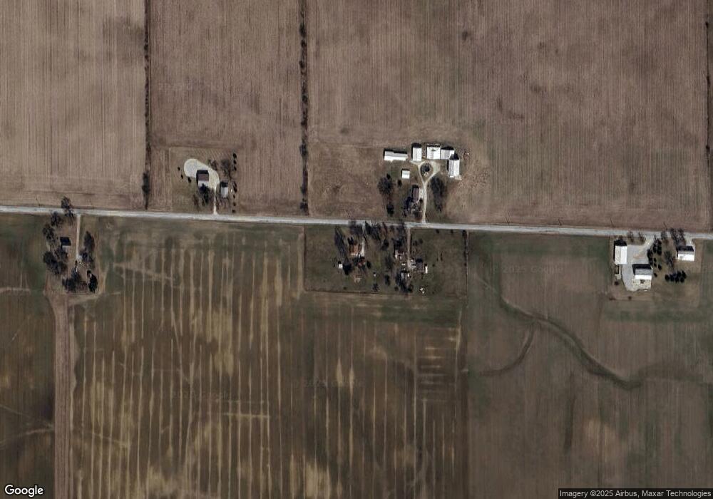
Map
Nearby Homes
- 653 E 1100 N
- 775 N Seminary St
- 11480 N Roanoke Rd
- 416 Nordyk Dr
- 183 W Vine St
- 686 Puttman Place
- 602 Nancyk Crossing
- 621 Nancyk Crossing
- 451 Rockwell Ave
- 5065 E 1200 N
- tbd Kilsoquah
- TBD Feighner Rd
- 4565 E Station Rd
- 10290 S State Road 9
- 7312 Witling Blvd
- 0 Ginger Rd
- 5912 N Bridge Rd
- 2975 E 630 N
- 2160 E 800 S
- 13135 Ravine Trail
- 2571 E 1100 N
- 2430 E 1100 N
- 2592 E 1100 N
- 2327 E 1100 N
- 2801 E 1100 N
- 0 Tbd 1100n Unit 202242053
- 2176 E 1100 N
- 2917 E 1100 N
- 11023 N 300 E
- 11228 N 300 E
- 2028 E 1100 N
- 11101 N 200 E
- 11157 N 300 E
- 10411 N Creek Side Ct Unit 13
- 10749 N 300 E
- 1921 E 1100 N
- 10709 N 300 E
- 2148 E Saddle Creek Dr Unit 12
- 2148 E Saddle Creek Dr
- 10393 N Creek Side Ct
Your Personal Tour Guide
Ask me questions while you tour the home.