2549 Devine Rd Iron Station, NC 28080
Estimated Value: $221,000 - $352,628
3
Beds
1
Bath
1,275
Sq Ft
$226/Sq Ft
Est. Value
About This Home
This home is located at 2549 Devine Rd, Iron Station, NC 28080 and is currently estimated at $287,876, approximately $225 per square foot. 2549 Devine Rd is a home located in Lincoln County with nearby schools including Iron Station Elementary School, East Lincoln Middle School, and East Lincoln High School.
Ownership History
Date
Name
Owned For
Owner Type
Purchase Details
Closed on
May 22, 2014
Sold by
Surratt Denise and Smith Afas C
Bought by
Smith Afas C and Smith Gail A
Current Estimated Value
Purchase Details
Closed on
Mar 21, 2013
Sold by
Surratt Denise and Smith Afas C
Bought by
Smith Afas C and Smith Gail A
Purchase Details
Closed on
Sep 8, 1994
Bought by
Smith Afas C and Smith Gail A
Purchase Details
Closed on
Jun 9, 1994
Bought by
Assiciates Financial Services Of America
Create a Home Valuation Report for This Property
The Home Valuation Report is an in-depth analysis detailing your home's value as well as a comparison with similar homes in the area
Purchase History
| Date | Buyer | Sale Price | Title Company |
|---|---|---|---|
| Smith Afas C | $16,000 | None Available | |
| Smith Afas C | $22,000 | None Available | |
| Smith Afas C | $24,000 | -- | |
| Assiciates Financial Services Of America | $53,000 | -- |
Source: Public Records
Tax History
| Year | Tax Paid | Tax Assessment Tax Assessment Total Assessment is a certain percentage of the fair market value that is determined by local assessors to be the total taxable value of land and additions on the property. | Land | Improvement |
|---|---|---|---|---|
| 2025 | $2,059 | $309,988 | $144,045 | $165,943 |
| 2024 | $2,039 | $309,988 | $144,045 | $165,943 |
| 2023 | $1,992 | $309,988 | $144,045 | $165,943 |
| 2022 | $1,422 | $177,722 | $101,081 | $76,641 |
| 2021 | $1,422 | $177,722 | $101,081 | $76,641 |
| 2020 | $1,272 | $177,722 | $101,081 | $76,641 |
| 2019 | $1,272 | $177,722 | $101,081 | $76,641 |
| 2018 | $1,227 | $154,738 | $97,072 | $57,666 |
| 2017 | $1,126 | $154,738 | $97,072 | $57,666 |
| 2016 | $1,126 | $154,738 | $97,072 | $57,666 |
| 2015 | $1,192 | $154,738 | $97,072 | $57,666 |
| 2014 | $1,032 | $134,112 | $77,246 | $56,866 |
Source: Public Records
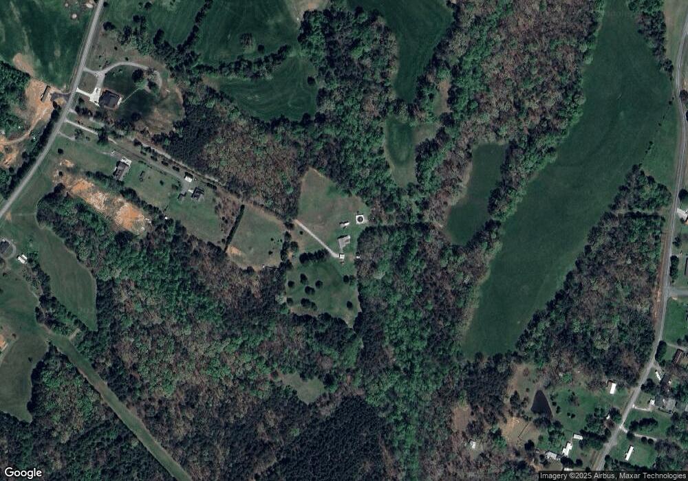
Map
Nearby Homes
- 821 Latrobe Dr
- 1987 & 1981 Magnolia Grove Rd
- 1371 Alexis High Shoals Rd
- 1481 Depot St
- 4242 John Ritchie Rd
- 1259 Hardin Rd
- 3132 Fox Den Cir
- 1466 Pressley Dr
- 1222 Hardin Rd
- 1279 Craig Dr
- 325 Holly Ridge Rd
- 324 Old Hardin Rd
- 1743 Autumn Banks Way Unit 73p
- 1747 Autumn Banks Way Unit 75p
- 1753 Autumn Banks Way Unit 76p
- 1755 Autumn Banks Way Unit 77p
- 1551 Autumn Banks Way Unit 23
- 1541 Autumn Banks Way Unit 18
- 2336 Salem Church Rd
- 4394 Mountain Creek Rd
- 2557 Devine Rd
- 2561 Devine Rd
- 2541 Devine Rd
- 3016 Bryce Ln
- 2768 Hudson Poultry Rd
- 2722 Hudson Poultry Rd
- 2770 Hudson Poultry Rd
- 2569 Devine Rd
- LOT19 Long Neck Dr
- 2631 Hudson Poultry Rd
- 2709 Hudson Poultry Rd
- 2652 Hudson Poultry Rd
- 2717 Hudson Poultry Rd
- 2683 Hudson Poultry Rd
- 2697 Hudson Poultry Rd
- 2755 Hudson Poultry Rd
- 2774 Hudson Poultry Rd
- 2763 Hudson Poultry Rd
- 2495 Devine Rd
- 2773 Hudson Poultry Rd
Your Personal Tour Guide
Ask me questions while you tour the home.