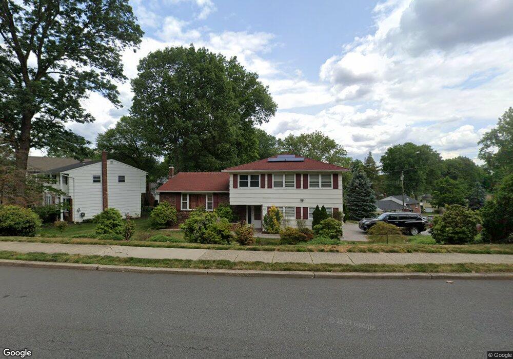
255 Baltusrol Way Springfield, NJ 07081
Estimated Value: $709,000 - $899,000
--
Bed
--
Bath
2,158
Sq Ft
$378/Sq Ft
Est. Value
About This Home
This home is located at 255 Baltusrol Way, Springfield, NJ 07081 and is currently estimated at $816,517, approximately $378 per square foot. 255 Baltusrol Way is a home located in Union County with nearby schools including Jonathan Dayton High School and St James The Apostle School.
Ownership History
Date
Name
Owned For
Owner Type
Purchase Details
Closed on
Oct 1, 1999
Sold by
Rank Perry Raphael and Rank Ellen Joan
Bought by
Itidiare Patrick and Itidiare Felicia
Current Estimated Value
Home Financials for this Owner
Home Financials are based on the most recent Mortgage that was taken out on this home.
Original Mortgage
$170,000
Outstanding Balance
$50,938
Interest Rate
7.73%
Mortgage Type
Purchase Money Mortgage
Estimated Equity
$765,579
Create a Home Valuation Report for This Property
The Home Valuation Report is an in-depth analysis detailing your home's value as well as a comparison with similar homes in the area
Home Values in the Area
Average Home Value in this Area
Purchase History
| Date | Buyer | Sale Price | Title Company |
|---|---|---|---|
| Itidiare Patrick | $265,000 | First American Title Ins Co |
Source: Public Records
Mortgage History
| Date | Status | Borrower | Loan Amount |
|---|---|---|---|
| Open | Itidiare Patrick | $170,000 |
Source: Public Records
Tax History Compared to Growth
Tax History
| Year | Tax Paid | Tax Assessment Tax Assessment Total Assessment is a certain percentage of the fair market value that is determined by local assessors to be the total taxable value of land and additions on the property. | Land | Improvement |
|---|---|---|---|---|
| 2025 | $14,998 | $631,500 | $201,500 | $430,000 |
| 2024 | $14,752 | $631,500 | $201,500 | $430,000 |
| 2023 | $14,752 | $631,500 | $201,500 | $430,000 |
| 2022 | $13,697 | $631,500 | $201,500 | $430,000 |
| 2021 | $14,071 | $189,000 | $67,400 | $121,600 |
| 2020 | $13,852 | $189,000 | $67,400 | $121,600 |
| 2019 | $13,665 | $189,000 | $67,400 | $121,600 |
| 2018 | $13,419 | $189,000 | $67,400 | $121,600 |
| 2017 | $13,050 | $189,000 | $67,400 | $121,600 |
| 2016 | $12,797 | $189,000 | $67,400 | $121,600 |
| 2015 | $12,648 | $189,000 | $67,400 | $121,600 |
| 2014 | $12,410 | $189,000 | $67,400 | $121,600 |
Source: Public Records
Map
Nearby Homes
- 247 Baltusrol Way
- 2 S Audlen Terrace
- 5D Stone Hill Rd Unit 27
- 5B Troy Dr Unit 1
- 159 Tooker Ave
- 36 Woodcrest Cir
- 117 Warwick Cir
- 85B Troy Dr Unit 11
- 88D Troy Dr Unit 16
- 445 Morris Ave Unit 7
- 24 Gail Ct
- 20 Kew Dr
- 262 Mountain Ave
- 294 Mountain Ave
- 298 Mountain Ave
- 18 Oakland Ave
- 4 Meadowbrook Rd
- 64 S Springfield Ave
- 49-51 Caldwell Place Unit 5
- 359 Mountain Ave
- 251 Baltusrol Way
- 210 Henshaw Ave
- 259 Baltusrol Way
- 206 Henshaw Ave
- 4 Valley Ct
- 244 Baltusrol Way
- 210 Hawthorne Ave
- 238 Baltusrol Way
- 269 Baltusrol Way
- 208 Hawthorne Ave
- 5 Valley Ct
- 201 Henshaw Ave
- 230 Baltusrol Way
- 250 Baltusrol Way
- 204 Hawthorne Ave
- 211 Hawthorne Ave
- 256 Baltusrol Way
- 262 Baltusrol Way
- 232 Baltusrol Way
- 197 Henshaw Ave