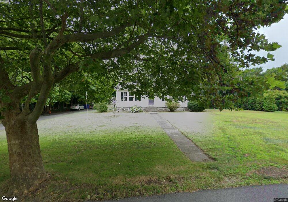
255 Barlows Landing Rd Pocasset, MA 02559
Pocasset NeighborhoodEstimated Value: $705,125 - $812,000
3
Beds
2
Baths
2,216
Sq Ft
$349/Sq Ft
Est. Value
About This Home
This home is located at 255 Barlows Landing Rd, Pocasset, MA 02559 and is currently estimated at $773,281, approximately $348 per square foot. 255 Barlows Landing Rd is a home located in Barnstable County with nearby schools including Bourne High School, Cadence Academy Preschool - Bourne, and St Margaret Regional School.
Ownership History
Date
Name
Owned For
Owner Type
Purchase Details
Closed on
Jan 28, 2008
Sold by
Forsberg Carolyn and Cook Linda
Bought by
Curran David and Curran Mary
Current Estimated Value
Home Financials for this Owner
Home Financials are based on the most recent Mortgage that was taken out on this home.
Original Mortgage
$370,000
Outstanding Balance
$232,616
Interest Rate
6.17%
Mortgage Type
Purchase Money Mortgage
Estimated Equity
$540,665
Purchase Details
Closed on
Dec 7, 2007
Sold by
Cahir Edith R
Bought by
Forsberg Carolyn and Cook Linda
Home Financials for this Owner
Home Financials are based on the most recent Mortgage that was taken out on this home.
Original Mortgage
$370,000
Outstanding Balance
$232,616
Interest Rate
6.17%
Mortgage Type
Purchase Money Mortgage
Estimated Equity
$540,665
Create a Home Valuation Report for This Property
The Home Valuation Report is an in-depth analysis detailing your home's value as well as a comparison with similar homes in the area
Home Values in the Area
Average Home Value in this Area
Purchase History
| Date | Buyer | Sale Price | Title Company |
|---|---|---|---|
| Curran David | $365,000 | -- | |
| Curran David | $365,000 | -- | |
| Forsberg Carolyn | -- | -- | |
| Forsberg Carolyn | -- | -- |
Source: Public Records
Mortgage History
| Date | Status | Borrower | Loan Amount |
|---|---|---|---|
| Open | Curran David | $370,000 | |
| Closed | Forsberg Carolyn | $370,000 |
Source: Public Records
Tax History Compared to Growth
Tax History
| Year | Tax Paid | Tax Assessment Tax Assessment Total Assessment is a certain percentage of the fair market value that is determined by local assessors to be the total taxable value of land and additions on the property. | Land | Improvement |
|---|---|---|---|---|
| 2025 | $4,813 | $616,300 | $221,400 | $394,900 |
| 2024 | $4,791 | $597,400 | $221,400 | $376,000 |
| 2023 | $4,389 | $498,200 | $195,900 | $302,300 |
| 2022 | $4,180 | $414,300 | $173,400 | $240,900 |
| 2021 | $183 | $377,700 | $157,800 | $219,900 |
| 2020 | $4,044 | $376,500 | $156,300 | $220,200 |
| 2019 | $3,831 | $364,500 | $156,300 | $208,200 |
| 2018 | $171 | $347,300 | $148,900 | $198,400 |
| 2017 | $3,542 | $343,900 | $147,500 | $196,400 |
| 2016 | $3,331 | $327,900 | $140,400 | $187,500 |
| 2015 | $3,302 | $327,900 | $140,400 | $187,500 |
Source: Public Records
Map
Nearby Homes
- 253 Barlows Landing Rd
- 257 Barlows Landing Rd
- 5 Leen Rd
- 9 Leen Rd
- 22 Michael Rd
- 6 Leen Rd
- 12 Leen Rd
- 249 Barlows Landing Rd
- 260 Barlows Landing Rd
- 24 Michael Rd
- 20 Michael Rd
- 271 Barlows Landing Rd
- 264 Barlows Landing Rd
- 247 Barlows Landing Rd
- 26 Michael Rd
- 273 Barlows Landing Rd
- 21 Michael Rd
- 18 Michael Rd
- 239 Barlows Landing Rd
- 23 Michael Rd