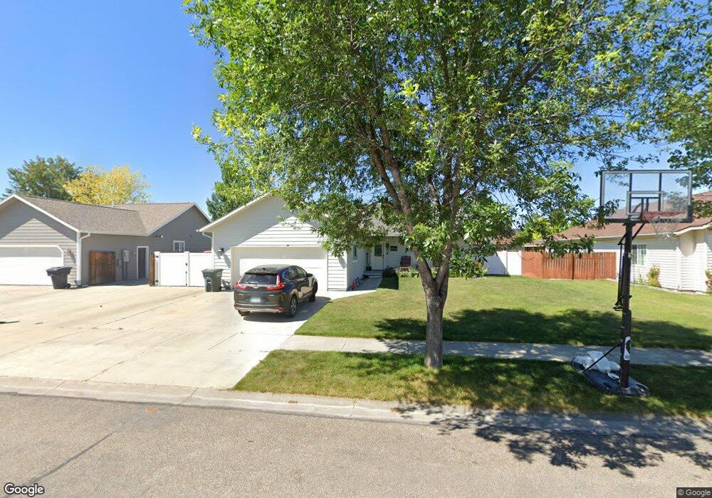
255 Buttercup Loop Kalispell, MT 59901
Estimated Value: $468,814 - $512,000
4
Beds
2
Baths
1,530
Sq Ft
$316/Sq Ft
Est. Value
About This Home
This home is located at 255 Buttercup Loop, Kalispell, MT 59901 and is currently estimated at $482,954, approximately $315 per square foot. 255 Buttercup Loop is a home located in Flathead County with nearby schools including Elrod School, Kalispell Middle School, and Flathead High School.
Ownership History
Date
Name
Owned For
Owner Type
Purchase Details
Closed on
Sep 8, 2011
Sold by
Kinney Joshua J and Kinney Kristen R
Bought by
Warden Tommy D and Warden Rexie L
Current Estimated Value
Home Financials for this Owner
Home Financials are based on the most recent Mortgage that was taken out on this home.
Original Mortgage
$162,694
Outstanding Balance
$110,958
Interest Rate
4.48%
Mortgage Type
New Conventional
Estimated Equity
$371,996
Purchase Details
Closed on
Dec 9, 2005
Sold by
Holmquist Steven H and Holmquist Jessica
Bought by
Kinney Joshua J and Kinney Kristen R
Create a Home Valuation Report for This Property
The Home Valuation Report is an in-depth analysis detailing your home's value as well as a comparison with similar homes in the area
Purchase History
| Date | Buyer | Sale Price | Title Company |
|---|---|---|---|
| Warden Tommy D | -- | Insured Titles | |
| Kinney Joshua J | -- | Alliance Title |
Source: Public Records
Mortgage History
| Date | Status | Borrower | Loan Amount |
|---|---|---|---|
| Open | Warden Tommy D | $162,694 |
Source: Public Records
Tax History
| Year | Tax Paid | Tax Assessment Tax Assessment Total Assessment is a certain percentage of the fair market value that is determined by local assessors to be the total taxable value of land and additions on the property. | Land | Improvement |
|---|---|---|---|---|
| 2025 | $2,304 | $455,400 | $0 | $0 |
| 2024 | $3,175 | $407,700 | $0 | $0 |
| 2023 | $3,822 | $407,700 | $0 | $0 |
| 2022 | $3,524 | $277,100 | $0 | $0 |
| 2021 | $2,982 | $277,100 | $0 | $0 |
| 2020 | $3,165 | $227,700 | $0 | $0 |
| 2019 | $3,173 | $227,700 | $0 | $0 |
| 2018 | $2,901 | $193,911 | $0 | $0 |
| 2017 | $2,912 | $193,911 | $0 | $0 |
| 2016 | $2,554 | $182,200 | $0 | $0 |
| 2015 | $2,556 | $182,200 | $0 | $0 |
| 2014 | $2,350 | $97,732 | $0 | $0 |
Source: Public Records
Map
Nearby Homes
- 600 Leisure Dr
- 141 Beargrass Ln
- 1509 Eagle Dr
- 1340 Willow Glen Dr Unit 23
- 1340 Willow Glen Dr Unit 31
- 305 Kelly Rd Unit F-22
- 305 Kelly Rd Unit F21
- 2455 Us Highway 93 S
- 1717 S Woodland Dr Unit SPC -21
- NHN U S 93 S
- 2082 Willow Glen Trail
- 1683 Bull Run
- 1705 8th Ave E
- 3943 Lower Valley Rd
- 169 Lower Valley Rd Unit 6
- 1519 Woodland Ave
- 446 Valley Dr
- 826 11th St E
- 51 Selders Ln
- 1305 4th Ave E
- 251 Buttercup Loop
- 259 Buttercup Loop
- 247 Buttercup Loop
- 263 Buttercup Loop
- 305 Buttercup Loop
- 309 Buttercup Loop
- 313 Buttercup Loop
- 243 Buttercup Loop
- 317 Buttercup Loop
- 258 Buttercup Loop
- 262 Buttercup Loop
- 254 Buttercup Loop
- 321 Buttercup Loop
- 250 Buttercup Loop
- 266 Buttercup Loop
- 239 Buttercup Loop
- 246 Buttercup Loop
- 284 Buttercup Loop
- 325 Buttercup Loop
- 280 Buttercup Loop
Your Personal Tour Guide
Ask me questions while you tour the home.