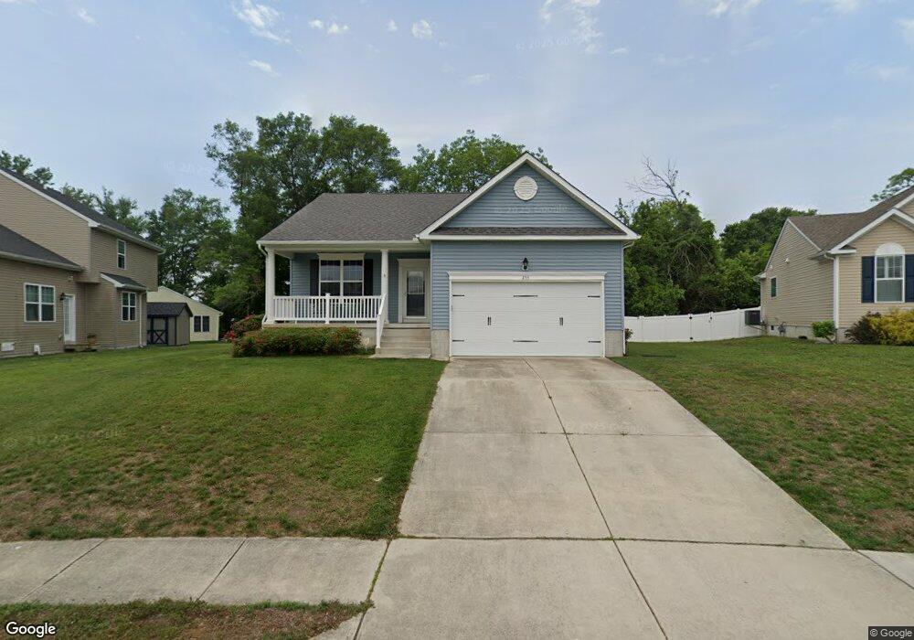
255 N Erin Ave Felton, DE 19943
Estimated Value: $363,000 - $405,000
3
Beds
2
Baths
1,667
Sq Ft
$229/Sq Ft
Est. Value
About This Home
This home is located at 255 N Erin Ave, Felton, DE 19943 and is currently estimated at $382,290, approximately $229 per square foot. 255 N Erin Ave is a home located in Kent County with nearby schools including Lake Forest North Elementary School, Lake Forest Central Elementary School, and W.T. Chipman Middle School.
Ownership History
Date
Name
Owned For
Owner Type
Purchase Details
Closed on
Jun 10, 2016
Sold by
Symmetry Homes Inc
Bought by
Carroll Walter H and Carroll Willie M
Current Estimated Value
Home Financials for this Owner
Home Financials are based on the most recent Mortgage that was taken out on this home.
Original Mortgage
$160,000
Interest Rate
3.57%
Mortgage Type
New Conventional
Create a Home Valuation Report for This Property
The Home Valuation Report is an in-depth analysis detailing your home's value as well as a comparison with similar homes in the area
Home Values in the Area
Average Home Value in this Area
Purchase History
| Date | Buyer | Sale Price | Title Company |
|---|---|---|---|
| Carroll Walter H | $243,000 | Attorney |
Source: Public Records
Mortgage History
| Date | Status | Borrower | Loan Amount |
|---|---|---|---|
| Previous Owner | Carroll Walter H | $160,000 |
Source: Public Records
Tax History Compared to Growth
Tax History
| Year | Tax Paid | Tax Assessment Tax Assessment Total Assessment is a certain percentage of the fair market value that is determined by local assessors to be the total taxable value of land and additions on the property. | Land | Improvement |
|---|---|---|---|---|
| 2025 | $839 | $361,400 | $72,500 | $288,900 |
| 2024 | $839 | $361,400 | $72,500 | $288,900 |
| 2023 | $730 | $48,200 | $5,600 | $42,600 |
| 2022 | $655 | $48,200 | $5,600 | $42,600 |
| 2021 | $627 | $48,200 | $5,600 | $42,600 |
| 2020 | $648 | $48,200 | $5,600 | $42,600 |
| 2019 | $648 | $48,200 | $5,600 | $42,600 |
| 2018 | $1,020 | $48,200 | $5,600 | $42,600 |
| 2017 | $1,061 | $48,200 | $0 | $0 |
| 2016 | $110 | $5,600 | $0 | $0 |
| 2015 | -- | $5,600 | $0 | $0 |
| 2014 | -- | $5,600 | $0 | $0 |
Source: Public Records
Map
Nearby Homes
- 25 E High St
- Lot #1 S Dupont Hwy
- 216 W High St
- 302 Woodsedge Ln
- 1406 Turkey Point Rd
- 10289 S Dupont Hwy
- 9507 Burnite Mill Rd
- 222 N Ember Dr
- Lot 18 Burnite Mill Rd
- Lot 17 Burnite Mill Rd
- Lot 16 Burnite Mill Rd
- 107 Albert Place
- 151 E Chimney Top Ln
- Cordoba Plan at Satterfield
- Asheville Plan at Satterfield
- Aberdeen Plan at Satterfield
- Fayetteville Plan at Satterfield
- Barcelona Plan at Satterfield
- 208 S Ridge Brook Dr
- 169 N Ridge Brook Dr
- 14 Lois Ct
- 265 N Erin Ave
- 20 Lois Ct
- 232 N Erin Ave
- 254 N Erin Ave
- 275 N Erin Ave
- 756 Turkey Point Rd
- 16 Seth Ct
- 230 N Erin Ave
- 21 Lois Ct
- 11 Lois Ct
- 285 N Erin Ave
- 15 Fan Branch Dr
- 806 Turkey Point Roa 806 Turkey Point Rd
- 790 Turkey Point Rd
- 19 Lois Ct
- 328 N Erin Ave
- 22 Seth Ct
- 315 N Erin Ave
- 299 N Erin Ave