255 NW Us Highway 50 Warrensburg, MO 64093
Estimated Value: $385,000 - $445,000
3
Beds
3
Baths
2,544
Sq Ft
$166/Sq Ft
Est. Value
About This Home
This home is located at 255 NW Us Highway 50, Warrensburg, MO 64093 and is currently estimated at $422,302, approximately $165 per square foot. 255 NW Us Highway 50 is a home located in Johnson County with nearby schools including Ridge View Elementary School, Sterling Elementary School, and Warrensburg Middle School.
Ownership History
Date
Name
Owned For
Owner Type
Purchase Details
Closed on
Jun 14, 2021
Sold by
Raines Craig A and Raines Ann M
Bought by
Sanders Vincent and Sanders Destiny
Current Estimated Value
Home Financials for this Owner
Home Financials are based on the most recent Mortgage that was taken out on this home.
Original Mortgage
$332,859
Outstanding Balance
$301,362
Interest Rate
2.9%
Mortgage Type
FHA
Estimated Equity
$120,940
Purchase Details
Closed on
Dec 11, 2015
Sold by
Combs Charles Q and Combs Deborah J
Bought by
Raines Craig A and Raines Ann M
Home Financials for this Owner
Home Financials are based on the most recent Mortgage that was taken out on this home.
Original Mortgage
$290,120
Interest Rate
3.79%
Mortgage Type
Future Advance Clause Open End Mortgage
Create a Home Valuation Report for This Property
The Home Valuation Report is an in-depth analysis detailing your home's value as well as a comparison with similar homes in the area
Home Values in the Area
Average Home Value in this Area
Purchase History
| Date | Buyer | Sale Price | Title Company |
|---|---|---|---|
| Sanders Vincent | -- | Trueman Title Inc | |
| Raines Craig A | -- | Western Missouri Title Co |
Source: Public Records
Mortgage History
| Date | Status | Borrower | Loan Amount |
|---|---|---|---|
| Open | Sanders Vincent | $332,859 | |
| Previous Owner | Raines Craig A | $290,120 |
Source: Public Records
Tax History Compared to Growth
Tax History
| Year | Tax Paid | Tax Assessment Tax Assessment Total Assessment is a certain percentage of the fair market value that is determined by local assessors to be the total taxable value of land and additions on the property. | Land | Improvement |
|---|---|---|---|---|
| 2024 | $2,030 | $27,871 | $0 | $0 |
| 2023 | $2,030 | $27,871 | $0 | $0 |
| 2022 | $1,951 | $26,662 | $0 | $0 |
| 2021 | $1,944 | $26,662 | $0 | $0 |
| 2020 | $1,879 | $25,448 | $0 | $0 |
| 2019 | $1,877 | $25,448 | $0 | $0 |
| 2017 | $1,802 | $25,828 | $0 | $0 |
| 2016 | $1,824 | $25,828 | $0 | $0 |
| 2015 | $1,878 | $25,828 | $0 | $0 |
| 2014 | $1,630 | $25,828 | $0 | $0 |
Source: Public Records
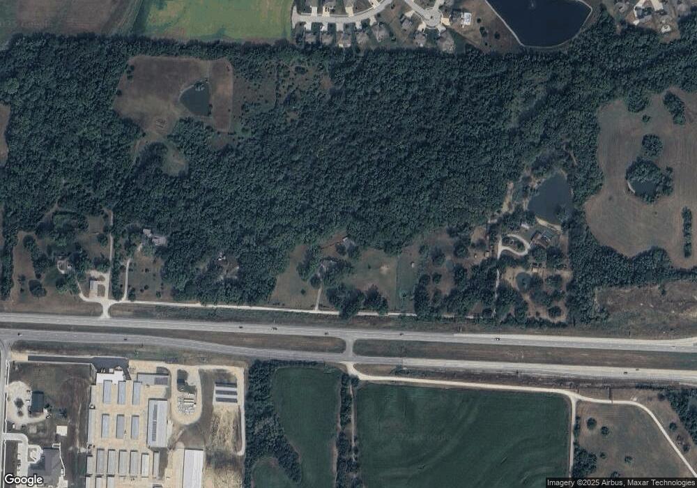
Map
Nearby Homes
- 1248 Rich Blvd
- 1249 Rich Blvd
- 1225 Hillmann Ln
- 1210 Hillmann Ln
- 1814 Cayhill Ct
- 1253 Vivian Dr
- Cayhill Lot 215 Larson Ave
- Cayhill Lot 216 Larson Ave
- 1524 Park Ave
- 1520 Park Ave
- 46 NE 231st Rd
- 1518 Park Ave
- 1516 Park Ave
- 1514 Park Ave
- 1512 Park Ave
- 1510 Park Ave
- 1508 Park Ave
- 1506 Park Ave
- 1504 Coventry Ct
- 1504 Park Ave
- 255 U S 50
- 255 NE Us Highway 50
- 237 NE Us Highway 50
- 237 NE Us Highway 50
- 1790 Stoneybrooke Dr
- 233 NE Us Highway 50
- 265 NE Us Highway 50
- 1788 Stoneybrooke Dr
- 1791 Stoneybrooke Dr
- 229 NE Us Highway 50
- 1214 Kelsay Ct
- 1209 Rich Blvd
- 1211 Rich Blvd
- 143 SE 225th Rd
- 1233 Rich Blvd
- 1228 Rich Blvd
- 1220 Kelsay Ct
- 1229 Rich Blvd
- 146 SE 225th Rd
- 1203 Rich Blvd