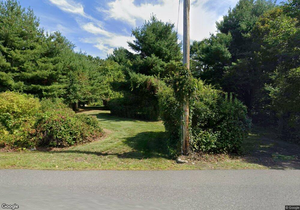
255 Sylvester Rd Florence, MA 01062
Florence NeighborhoodEstimated Value: $1,134,620 - $1,425,000
4
Beds
4
Baths
4,370
Sq Ft
$286/Sq Ft
Est. Value
About This Home
This home is located at 255 Sylvester Rd, Florence, MA 01062 and is currently estimated at $1,248,155, approximately $285 per square foot. 255 Sylvester Rd is a home located in Hampshire County with nearby schools including Northampton High School.
Ownership History
Date
Name
Owned For
Owner Type
Purchase Details
Closed on
May 4, 2005
Sold by
Hohol-Mccutcheon Lisa and Mccutcheon David J
Bought by
Premo David A and Premo Claire A
Current Estimated Value
Create a Home Valuation Report for This Property
The Home Valuation Report is an in-depth analysis detailing your home's value as well as a comparison with similar homes in the area
Home Values in the Area
Average Home Value in this Area
Purchase History
| Date | Buyer | Sale Price | Title Company |
|---|---|---|---|
| Premo David A | $115,000 | -- |
Source: Public Records
Mortgage History
| Date | Status | Borrower | Loan Amount |
|---|---|---|---|
| Open | Premo David A | $440,000 | |
| Closed | Premo David A | $75,000 | |
| Closed | Premo David A | $417,000 | |
| Closed | Premo David A | $48,000 |
Source: Public Records
Tax History Compared to Growth
Tax History
| Year | Tax Paid | Tax Assessment Tax Assessment Total Assessment is a certain percentage of the fair market value that is determined by local assessors to be the total taxable value of land and additions on the property. | Land | Improvement |
|---|---|---|---|---|
| 2025 | $15,267 | $1,096,000 | $109,600 | $986,400 |
| 2024 | $15,957 | $1,050,500 | $105,000 | $945,500 |
| 2023 | $14,690 | $927,400 | $95,000 | $832,400 |
| 2022 | $13,808 | $771,800 | $89,600 | $682,200 |
| 2021 | $14,339 | $825,500 | $85,900 | $739,600 |
| 2020 | $13,213 | $786,500 | $85,900 | $700,600 |
| 2019 | $13,425 | $772,900 | $88,600 | $684,300 |
| 2018 | $13,066 | $766,800 | $88,600 | $678,200 |
| 2017 | $12,798 | $766,800 | $88,600 | $678,200 |
| 2016 | $12,391 | $766,800 | $88,600 | $678,200 |
| 2015 | $12,564 | $795,200 | $104,900 | $690,300 |
| 2014 | $12,238 | $795,200 | $104,900 | $690,300 |
Source: Public Records
Map
Nearby Homes
- 404 Sylvester Rd
- 20-11 Sylvester Rd
- 0 W Farms Rd
- 39 Matthew Dr
- 832 Westhampton Rd
- 815 Burts Pit Rd
- 200 Easthampton Rd
- 1260 Westhampton Rd
- 751 Park Hill Rd
- 635 Florence Rd
- 139 Water St
- 723 Florence Rd
- 225 Nonotuck St Unit C
- 98 Park Hill Rd
- 37 Landy Ave
- 67 Park St Unit A
- 67 Park St Unit B
- 67 Park St Unit D
- 76 Maple St
- 36 Torrey St
- 249 Sylvester Rd
- 263 Sylvester Rd
- 272 Sylvester Rd
- 231 Sylvester Rd
- 301 Sylvester Rd
- 205 Sylvester Rd
- 284 Sylvester Rd
- 296 Sylvester Rd
- 315 Sylvester Rd
- 207 Sylvester Rd
- 203 Sylvester Rd
- 320 Sylvester Rd
- 198 Sylvester Rd
- 183 Sylvester Rd
- 256 Sylvester Rd
- 1 Sylvester Rd
- 314 Sylvester
- 165 Sylvester Rd
- 163 Sylvester Rd
- 306 Sylvester Rd
