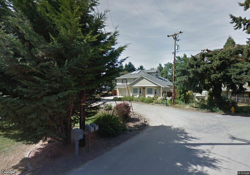
255 W Myoak Dr Eugene, OR 97404
Santa Clara NeighborhoodEstimated Value: $419,000 - $456,259
4
Beds
2
Baths
1,951
Sq Ft
$224/Sq Ft
Est. Value
About This Home
This home is located at 255 W Myoak Dr, Eugene, OR 97404 and is currently estimated at $437,565, approximately $224 per square foot. 255 W Myoak Dr is a home located in Lane County with nearby schools including Spring Creek Elementary School, Madison Middle School, and North Eugene High School.
Ownership History
Date
Name
Owned For
Owner Type
Purchase Details
Closed on
Mar 14, 2023
Sold by
Herron Michael and Herron Hannah
Bought by
Michael And Hannah Herron Revocable Living Tr and Herron
Current Estimated Value
Purchase Details
Closed on
Oct 28, 2016
Sold by
Esgate Albert D and Esgate Colette K
Bought by
Herron Michael
Home Financials for this Owner
Home Financials are based on the most recent Mortgage that was taken out on this home.
Original Mortgage
$222,300
Interest Rate
3.5%
Mortgage Type
New Conventional
Create a Home Valuation Report for This Property
The Home Valuation Report is an in-depth analysis detailing your home's value as well as a comparison with similar homes in the area
Home Values in the Area
Average Home Value in this Area
Purchase History
| Date | Buyer | Sale Price | Title Company |
|---|---|---|---|
| Michael And Hannah Herron Revocable Living Tr | -- | None Listed On Document | |
| Herron Michael | $234,000 | Cascade Title Company |
Source: Public Records
Mortgage History
| Date | Status | Borrower | Loan Amount |
|---|---|---|---|
| Previous Owner | Herron Michael | $222,300 |
Source: Public Records
Tax History
| Year | Tax Paid | Tax Assessment Tax Assessment Total Assessment is a certain percentage of the fair market value that is determined by local assessors to be the total taxable value of land and additions on the property. | Land | Improvement |
|---|---|---|---|---|
| 2025 | $5,395 | $276,872 | -- | -- |
| 2024 | $5,327 | $268,808 | -- | -- |
| 2023 | $5,327 | $260,979 | -- | -- |
| 2022 | $4,991 | $253,378 | $0 | $0 |
| 2021 | $4,435 | $245,999 | $0 | $0 |
| 2020 | $4,359 | $238,834 | $0 | $0 |
| 2019 | $4,154 | $231,878 | $0 | $0 |
| 2018 | $3,867 | $217,798 | $0 | $0 |
| 2017 | $3,644 | $217,798 | $0 | $0 |
| 2016 | $4,537 | $256,980 | $0 | $0 |
| 2015 | $2,437 | $131,884 | $0 | $0 |
| 2014 | $2,390 | $128,043 | $0 | $0 |
Source: Public Records
Map
Nearby Homes
- 3007 River Rd
- 349 Irving Rd
- 200 Irving Rd
- 190 River Loop 1
- 215 Jonquil Ave
- 193 Santa Clara Ave
- 190 Hunsaker Ln
- 240 Dibblee Ln
- 475 Banton Ave
- 303 Lenore Loop
- 475 Salty Way
- 2439 Quince St
- 2563 York St
- 2937 Stark St
- 2740 Stark St
- 835 Bobolink Ave
- 401 Sterling Dr
- 0 450-1 Unit 582743661
- 450 Hunsaker Ln
- 0 450-2 Unit 657824339
Your Personal Tour Guide
Ask me questions while you tour the home.